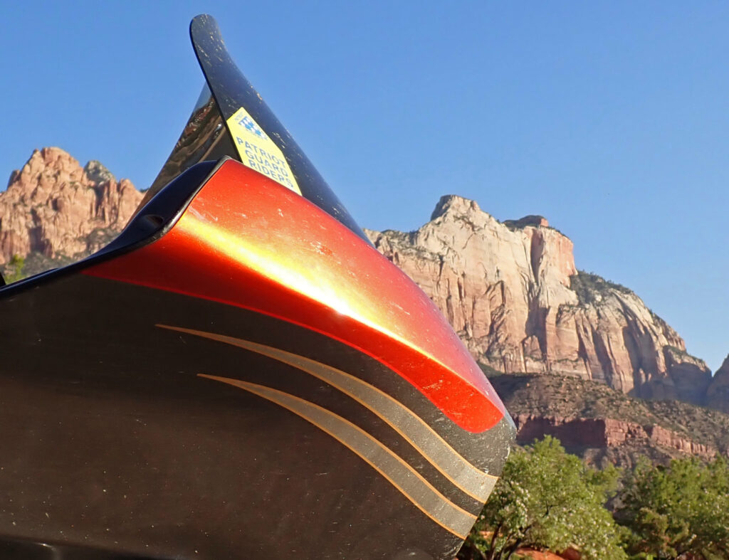
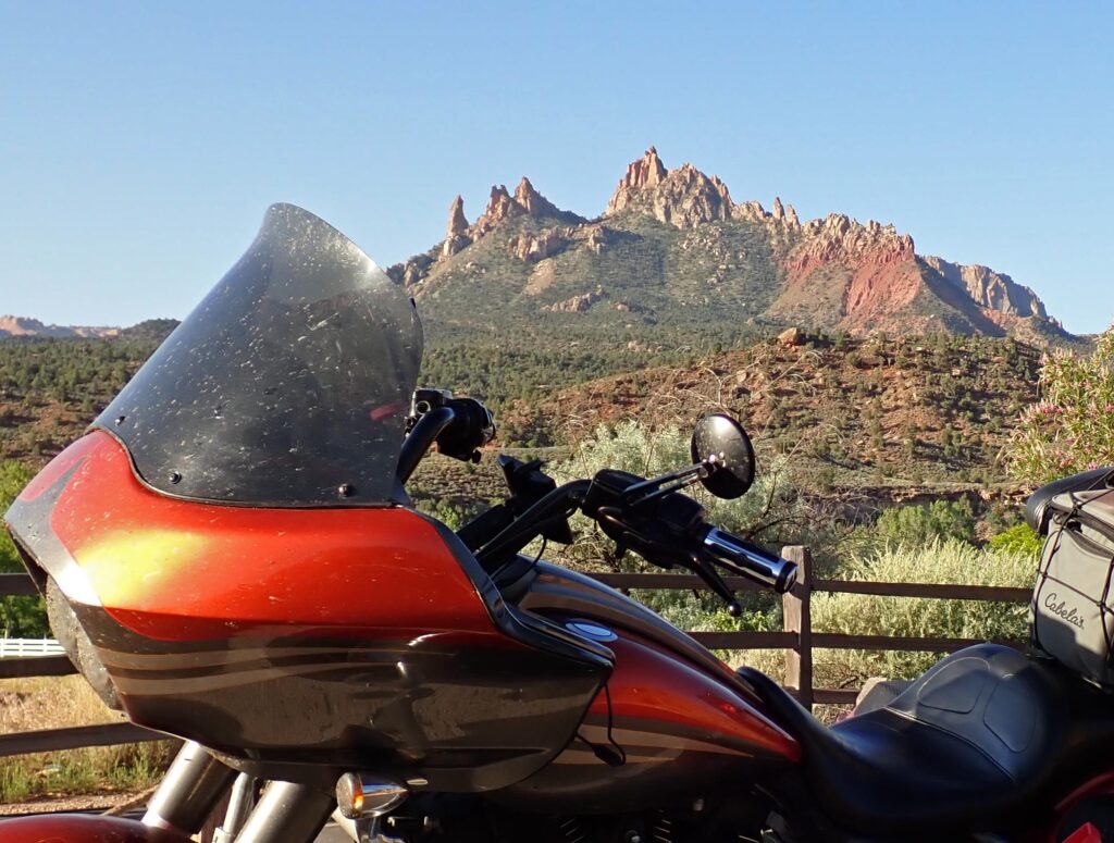
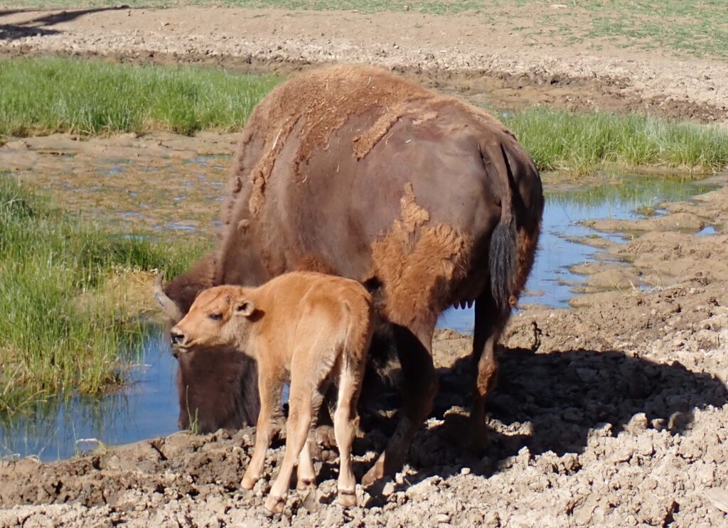
Gettin Ready

This year I might actually get most of my stuff caught up before I leave on my bike ride. For the first time in – A Long Time I’ve got blog all tuned up.  I won’t say that it’s 100% but it’s close.  There’s lots of content here; click that Mother Page link to start your journey.

Enjoy the ride, and if you have any input please share it and feel free to comment.  I am really looking forward to this year’s ride, and having y’all along.

Day One – Peoria, AZ

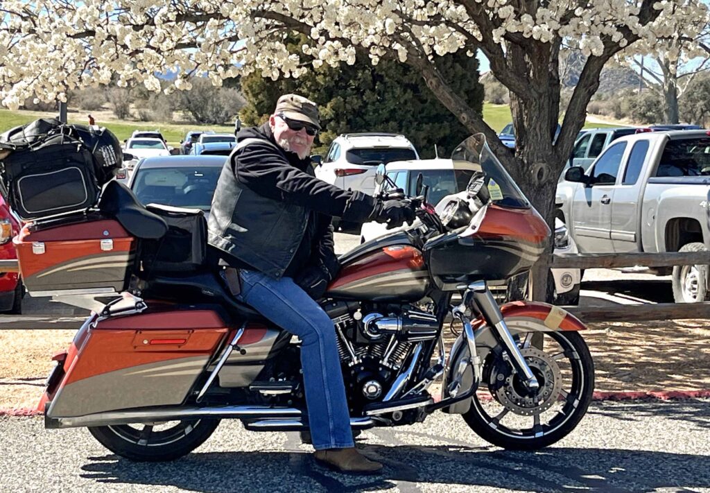
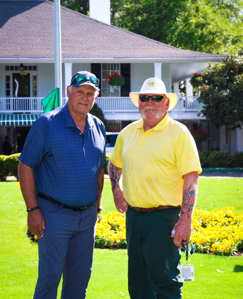
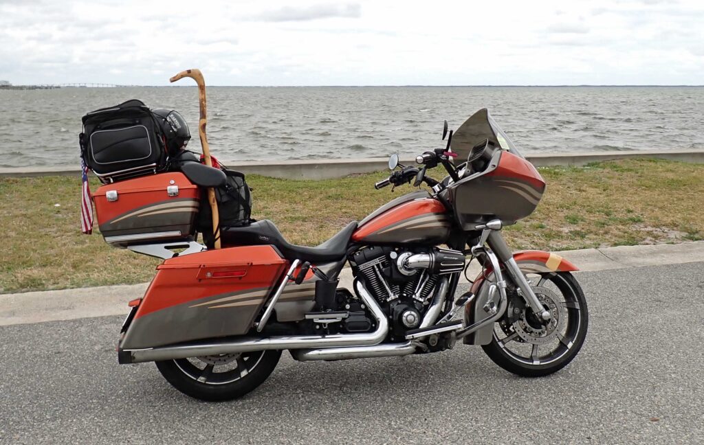
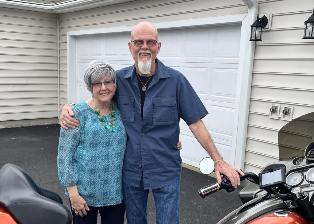
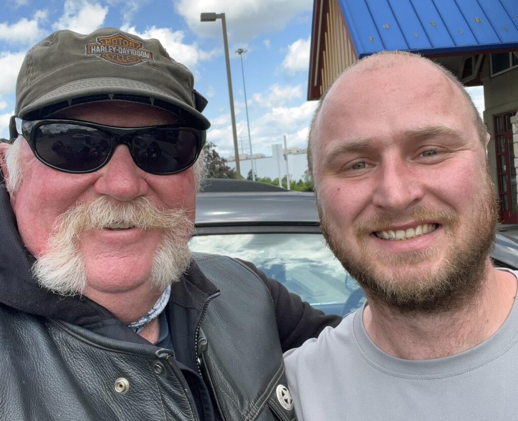
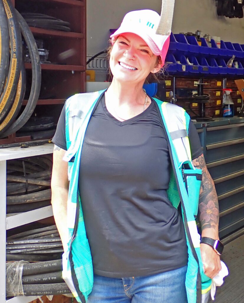
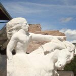
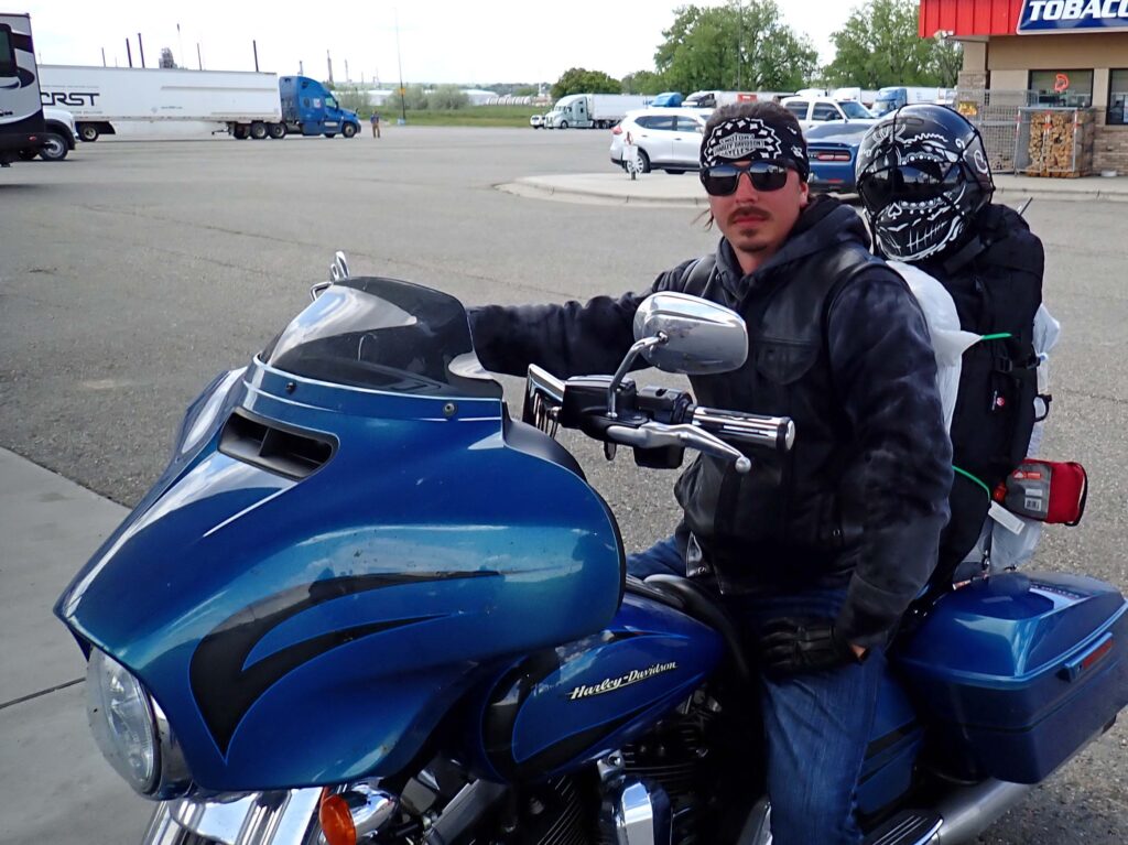
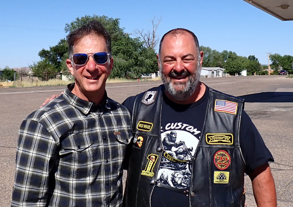
After taking a year off, I am back on the road for my “mostly annual” Spring Ride.  I did have to stop by the golf course (where I work – kinda) to tend to a couple little things before heading out.  This picture was taken after I was all done there.

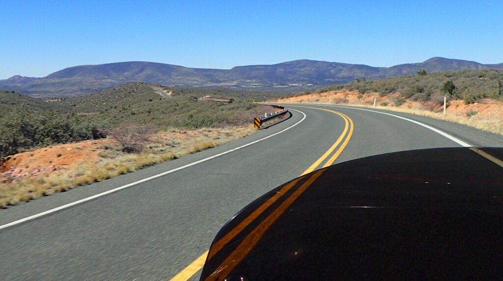
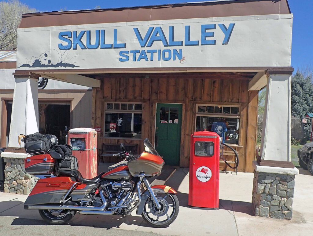
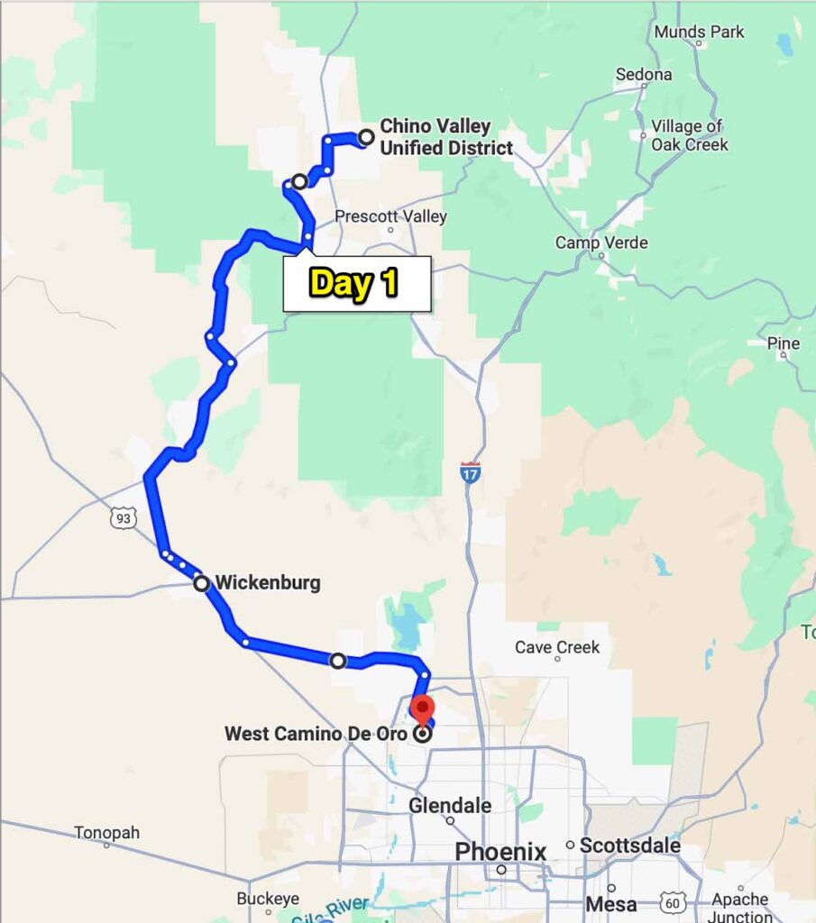
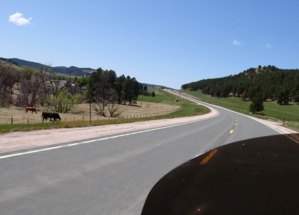
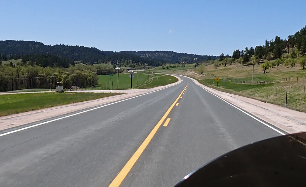
Since today’s trip is a short one, I decided to share some of our local area with you.  First stop Skull Valley.  When we moved back to Arizona, we were looking at a couple places in Skull Valley.  What a GREAT address – “Yea, we live in Skull Valley, Arizona.”  But, we believe that you end up where you’re supposed to be, and we couldn’t be happier with where we live.  Skull Valley is a very rural community just 12 miles from Prescott (as the crow flies).  The road there is 26 miles and goes through the Prescott National Forest for much of that.  It is a very nice motorcycle road and this morning I had it all to myself – What a great way to start out!!

This morning at our place it was 27°.  By the time I left it was in the mid 40’s, but by the time I got to Skull Valley it was time to start shedding some layers.  I told you that it’s a rural community – well, this is the town center.  Just a couple years ago, this was still a gas station and feed store – Now it’s a restaurant and curio shop.

By the way – you should be able to view any of the blog pictures full screen by clicking on the image.  Go ahead and give it a try..

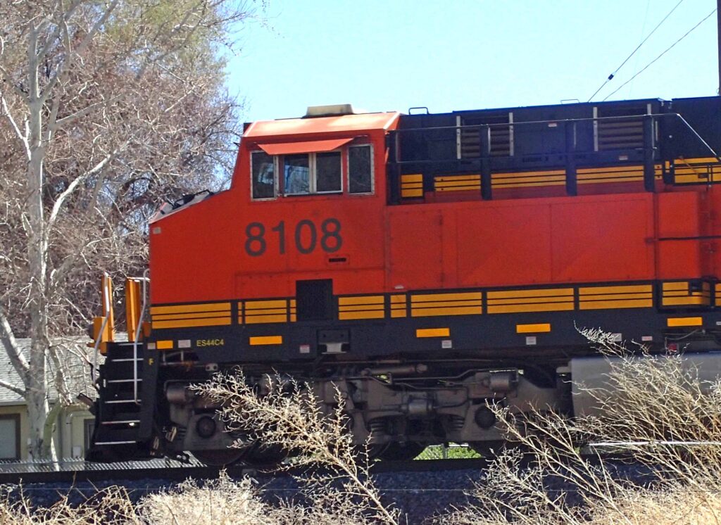
While I was finding a place on the bike for heavy jacket and gloves, I saw my first train of the trip.  Many of the backroads I prefer to ride on are parallel, or nearly so, to train tracks.  I always wave to the conductor and often they will wave back and/or sound the horn.  I feel kinda like the school kids on the bus trying to get the 18 wheeler driver to blow his horn by pumping their arm up and down like they are pulling on the line that activates the horn.  In reality, my wave is a gesture of respect to a fellow traveler on a long journey, often in the middle of nowhere.

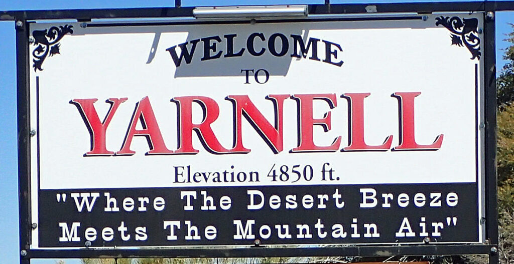
The small town of Yarnell is about 25 miles from Skull Valley and is the end of the high country.  Everything south of here is much lower and hotter.  In the summer time, this is where all the desert dwellers ride to finally get some relief from the sweltering heat. “Where The Desert Breeze Meets The Mountain Air” is certainly appropriate.

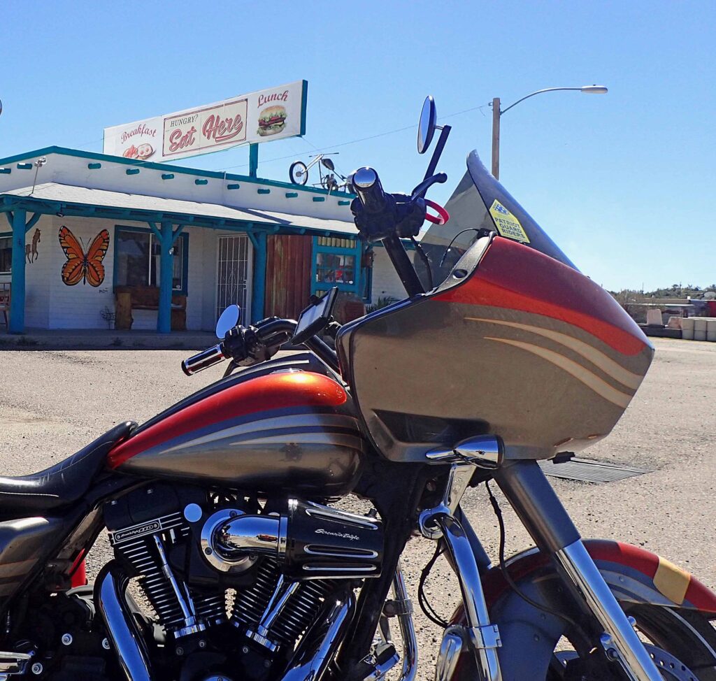
Eat Here is a small breakfast and lunch place on the south side of Yarnell.  A buddy of mine and I come here to have breakfast once in a while.  Nice ride back and forth and good food – don’t get much better.  Give it a try if you’re ever in the area.

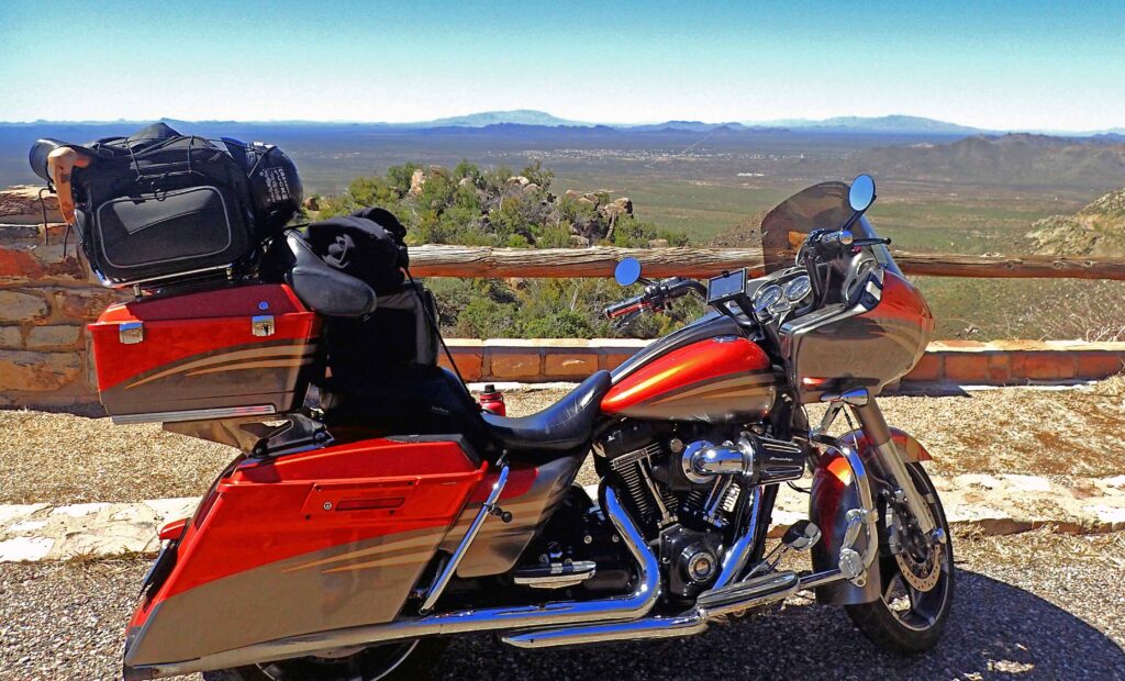
This was taken just off the road from Yarnell down into the desert; where you’re gonna be trading pine trees for saguaro (SA-war-o) cactus, creosote bushes and mesquite trees.  This road has plenty of twists and turns as it takes you about 2,500 feet down the side of a mountain – more motorcycle fun here.

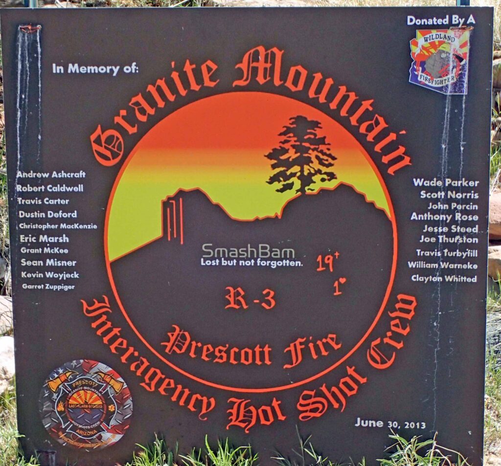
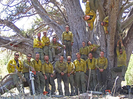
Sadly this is also very near the place where the Granite Mountain Hot Shots were killed on June 30, 2013.  Many of those men were from Prescott and the surrounding communities and were well known.  The movie Only the Brave is the story of the Granite Mountain Hot shots and worth watching.  Be advised though, it is a movie.  One of the guys I hunt with is a firefighter and was there that fateful day coordinating helicopter operations from the town of Yarnell.  His account is “slightly” different.

Never the less, the loss of these men was like a kick in the stomach for most Arizonans.  June 30th is a solemn time in Prescott and the surrounding area.  The entrance to the Granite Mountain Hot Shots Memorial State Park is on the road down from Yarnell.  There you can hike to a lookout and see where the Hot Shots lost their lives underneath their individual shelter tents.  You can also go down to the site itself.  Someday I’ll do that.

The town of Wickenburg is the first real stop after you navigate your way down what we call “Yarnell Hill”. Henry Wickenburg came to the area in search of gold and he found it.  The Vulture Mine (1863-1942) produced over 340,000 ounces of gold and 260,000 ounces of silver.  Apparently the stories about the mine’s production were somewhat exaggerated back in the day.  The Hassayampa River runs through Wickenburg and the folks extolling the virtues of the Vulture Mine were referred to as Hassayampers.  To this day it is said that if you drink water from the Hassayampa River you will never again be able to tell the truth.

There is a little ghost town where the mine was and I was planning on going and having a look around.  However, the Vulture City Ghost Town is only open Thursday – Sunday; today is Wednesday, April 3rd.  Maybe next time.

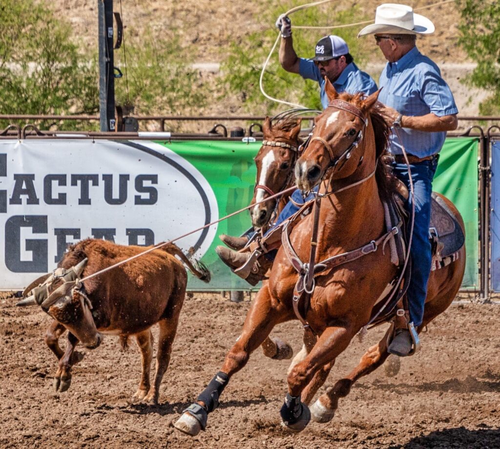
From November thru April Wickenburg is the team roping capital of the world (no doubt the good winter weather is a factor). They have seven different arenas where team roping competitions are held and there are horse trailers with built in living quarters everywhere – REALLY nice ones.  So – Wickenburg is still a “western” town, but sadly it is turning into a tourist town.  I predict that property values here will be skyrocketing as the Phoenix area (35 miles away) fills up.  Folks escaping the city life will be flooding in with more money than they know what to do with trying to get their piece of the west.

The ride from Wickenburg to my father’s house in Peoria is a nice ride through the desert just south of Lake Pleasant.  It’s been a very good first day and I’m really looking forward to the road ahead.  Y’all Take Care.


Day Two – Willcox, AZ

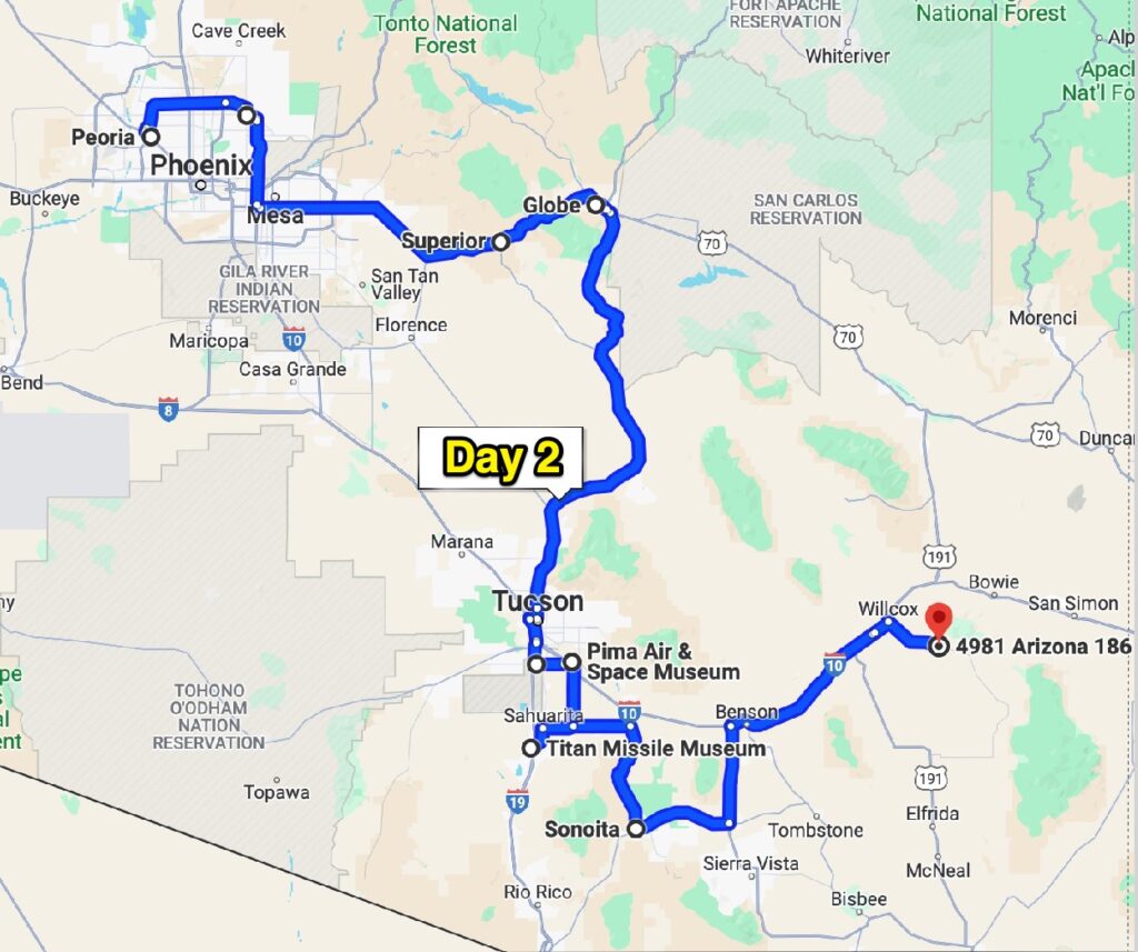
By now you all know that I dislike the “beaten path”.  I prefer to be on the seldom traveled roads where I can either go fast, or slow and don’t need to be hyper-focused on just staying alive atop my two wheeled steed.  After all, this is supposed to be an enjoyable experience.  However, I do appreciate “the slab” because it is usually the fastest route, and at times there is the need for speed – Like when you’re trying to get out of the city.

I thoroughly enjoyed my visit with my dad and brother but I needed to get from the NW corner of the Phoenix metropolitan area to the SE corner – I was headed for the slab.  After about 50 miles, the concrete ends and just a few miles later, the asphalt road turns south as you approach the Superstition Mountains.  Somewhere in those hills is the famed Lost Dutchman’s Mine.  The area is filled with people that have made trying to find that mine their goal in life.  Take your gun – folks have been killed up there….

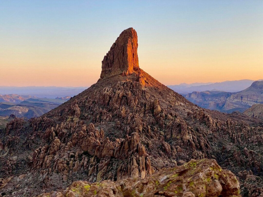
Weaver’s Needle (not my picture) is the prominent landmark of the Superstitions and is a central figure in most of the maps and directions for the Lost Dutchman’s Mine.

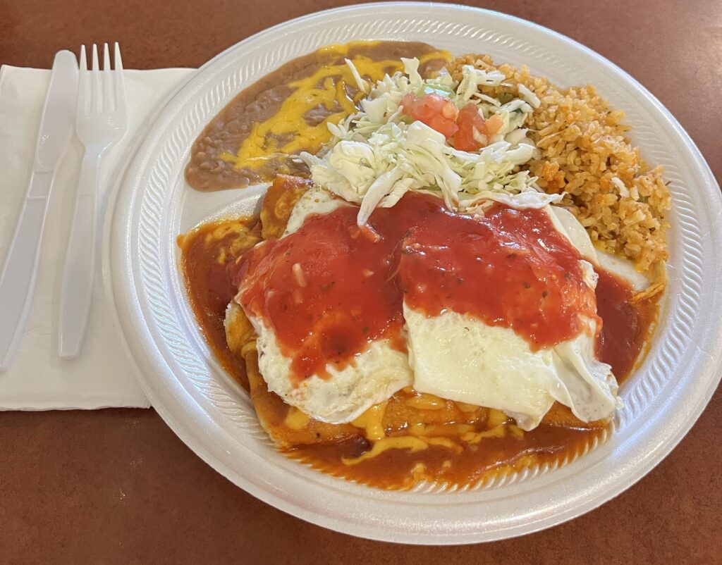
I was thinking I’d have breakfast/lunch in Globe but as I was approaching Superior I remembered that there is supposed to be a very good Mexican place in town.  It was after breakfast time but I managed to get a couple a fried eggs on top of my chicken enchiladas.  The food at Los Hermanos was quite good, but I think their dishwasher is broken, or got fired.

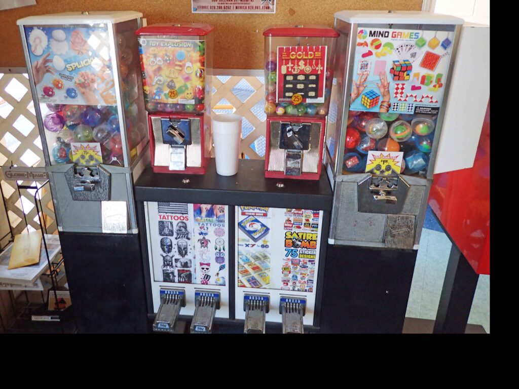
On the way out I noticed these vending machines in the lobby.  I put more than a few quarters in these things when I was a kid.  They also have the “adult” vending machines in the men’s room.  Both are reminders of days gone by.  I saw a sign somewhere today that said – Old Age comes at a Bad Time.  I could not agree more.

The road from Globe down to the Tucson area is called the Copper Corridor.  I guess it really starts in Superior as that is the first copper mining town on the road.  Arizona has the largest copper deposits in the United States so it stands to reason that there will be a copper mine or two.  The biggest mine on the corridor is the Pinto Valley open pit mine near Globe.  Since 1975 it has produced over 4 billion pounds of copper.  Arizona copper production is huge – something like 750 thousand metric tons!!

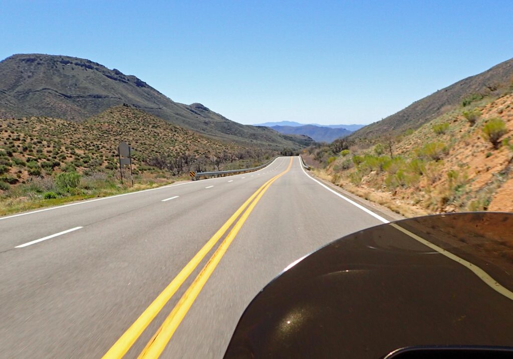
The Copper Corridor is a quality motorcycle road and once again, I had it mostly to myself.   Thanks to some recent spring rains, the desert was green and the road was lined with blue flowers that reminded me of Texas bluebonnets.

As you get closer to Tucson – traffic picks up and sooner than I would have liked, I was in city traffic.  Why would I do this to myself you ask; I was asking the same question.  I am going to the Pima Air and Space Museum near Davis-Monthan Air Force Base, and I have to say it was worth being in a little traffic.  You could easily spend a couple hours here.

A-4 Used by the Blue Angles from 1974-1985

F-14 – Think Top Gun (the first one)

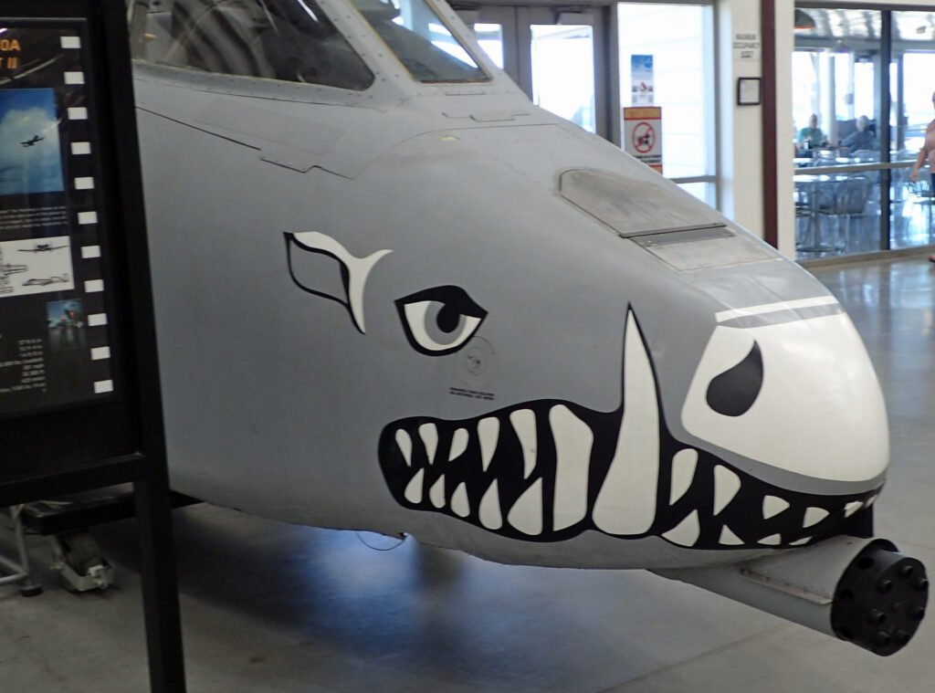
A wart hog painted on the nose of an A-10.

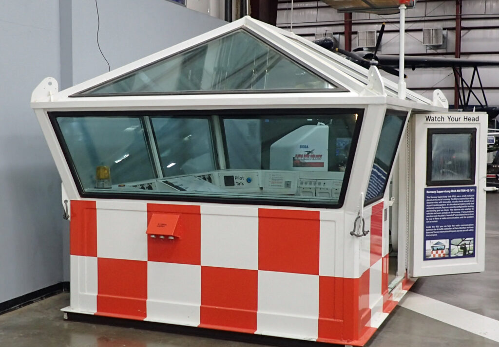
They even have a little air traffic control tower in case you want to do a little air traffic control.  I happen to know several individuals who were only ever able to do a little air traffic control..  Cough cough…….

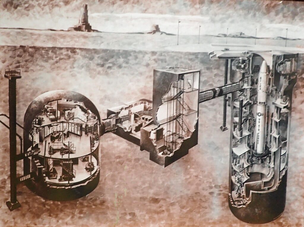
Next stop on today’s ride is the Titan Missile Museum.  I was running a little low on time but I got there just as a tour was starting.  I considered that a sign from above and took the 60 minute tour. Totally the right decision!!  The tour guide spent some time discussing the reasons we started having missile defense and what “mutually assured destruction” was all about – and still is.  Nobody’s gonna win, so don’t start.

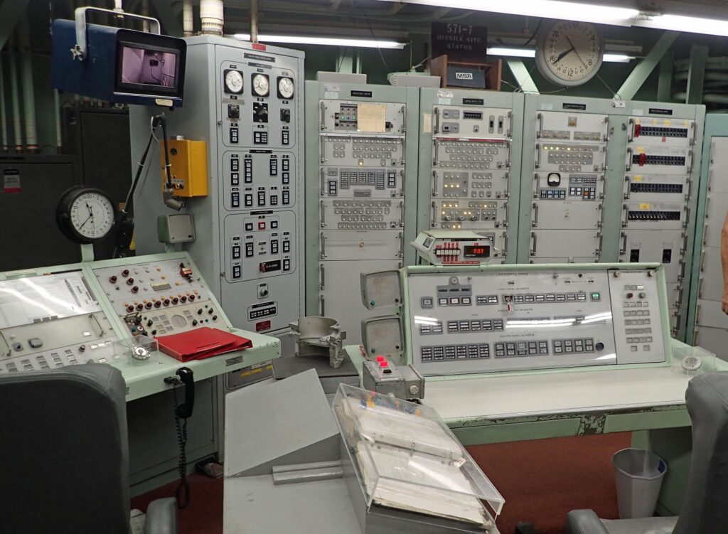
Some highlights – the Titan II missile is the largest ICBM at over 100 feet tall.  The crews worked 24 hour shifts.  There were 54 Titan II missile sites on alert across the United States from 1963 to 1987, this one is the only one where you can see what it used to look like when it was operational.  At least one site is being used as a bed and breakfast, and a church is built on another.  The warhead on the Titan II was 9 megatons (300 times what was dropped on Hiroshima) and once launched had no way of stopping it.  That would have been the end of the world as we know it.  However, nobody has their “finger on the button”.  It takes a whole bunch of steps to launch a nuke, and if we launch one, we need to start preparing for nuclear winter here at home.

They didn’t mention this, but in 1980 a Titan II missile just north of Little Rock, AR experienced a liquid fuel explosion inside its silo.  The warhead was blown out of the silo but landed without incident.  Check this link out – it’s a good one, especially the comments at the end of the article.

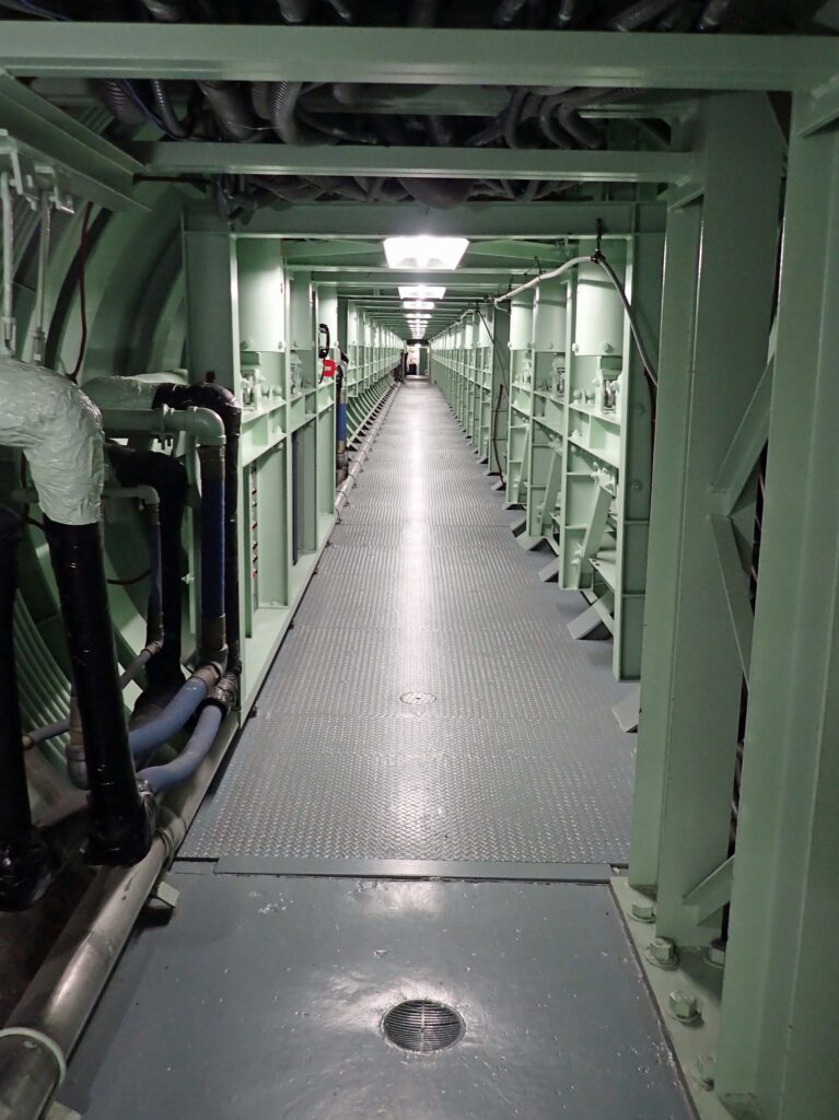
This last picture is the walkway between the control room and the missile silo.  I recommend a visit to the Titan Missile Museum and I was told by a Trek-ie in the tour group that Star Trek First Contact was filmed here.

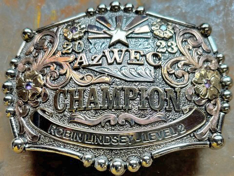
My next stop was down in Sonoita where my lovely wife is competing in a horse show.  I forgot a couple things when I pulled out (I know, I know) and she brought them with her.  She’s pretty good at her Western Equitation, here’s the proof!!  Cowgirl UP

Next stop, and my last stop for the day, is the Bar X Bar ranch house just outside of Willcox.  This town is where I was raised and still the home of my mom’s cousin.  Don Riggs is the current owner operator of 10,000 acres of farm and ranch land that has been in the Riggs family since 1879.  Really looking forward to spending some time and catching up with these great people.  Family is number one and I’m sure proud to say that they are part of mine.  Time to for me and my iron horse to get some rest.

Day 3 & 4

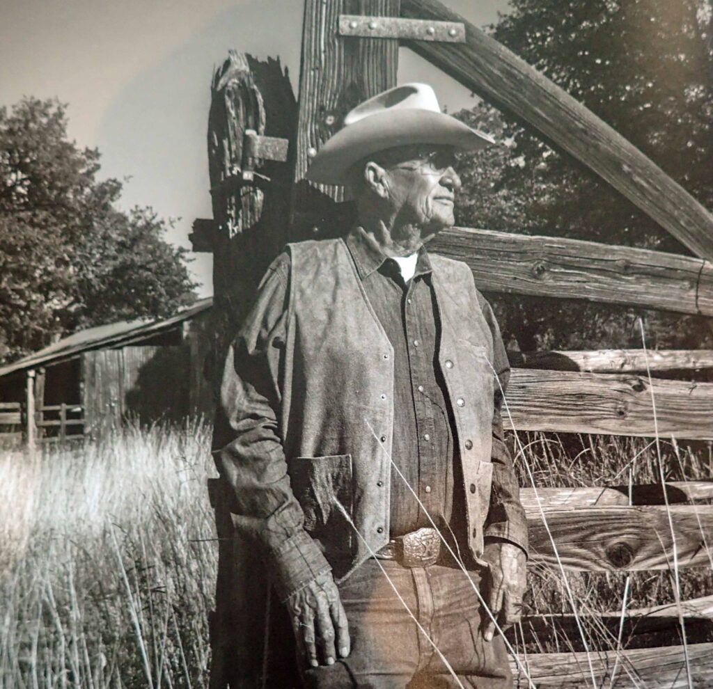
This is the man right here – Don Riggs. “Donnie” to us.

The Riggs family has been farming and ranching over 10,000 acres here in Southeastern Arizona for over 100 years.  Donnie’s grandson Stark will be the 6th generation.  Such a proud heritage.  The ranch runs a cow-calf operation, which means that their main focus is to produce young beef cattle which are sold (about 500 per year).  Right now they are working on a Wagyu-Angus cross (Wangus?) that’s producing high quality beef.  I can personally attest; for dinner I was treated to a perfectly grilled bone in ribeye – AMAZING!!

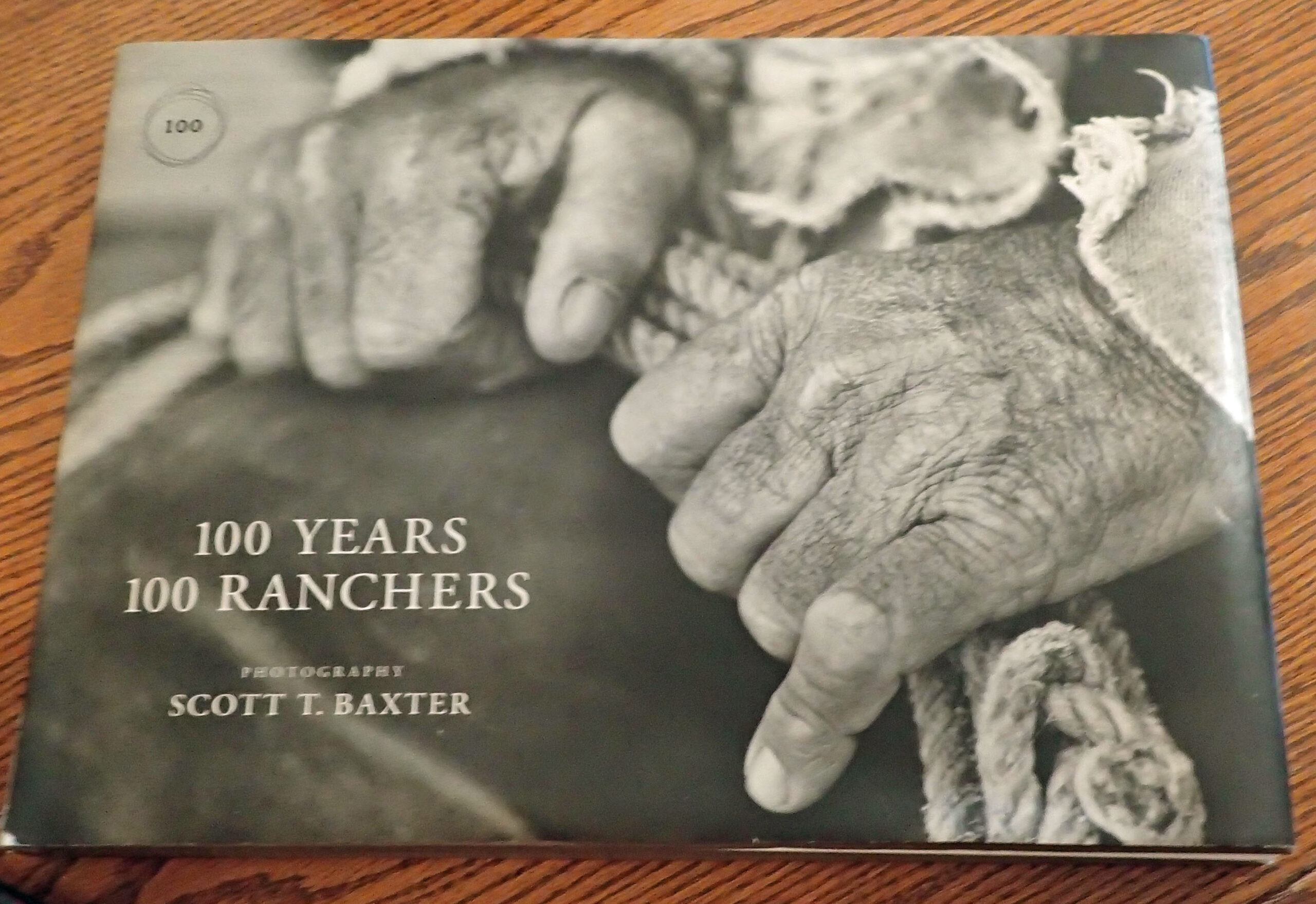
The Riggs family and ranch was featured in this book about Arizona ranches, and many other photo shoots.   Oh, I almost forgot – these guys love to hunt?

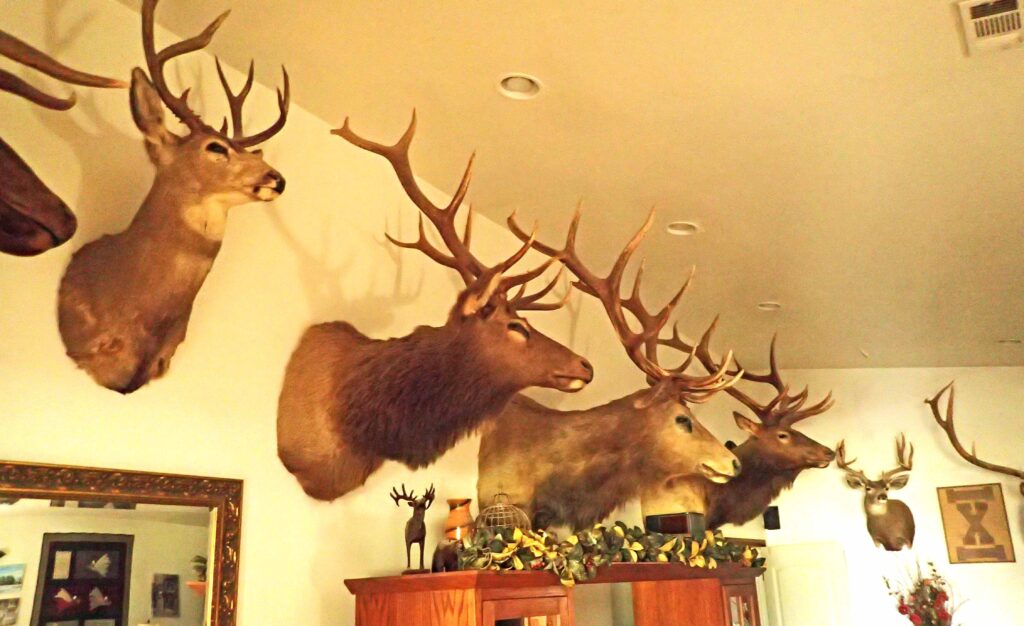
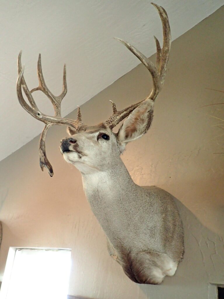
This is about one fifth of what they have mounted around the house.  I asked Donnie about the deer in the elk room and he said, “It makes the elk look bigger.”   I was going to send more pictures of the mounts – but you get the idea.  Okay just one more.  This guy has some unique antlers for a couple reasons.  There is that drop tine but look closely (remember you can click the image for a larger view) in front of that drop tine – is a bullet hole…. And a great story to go with it……

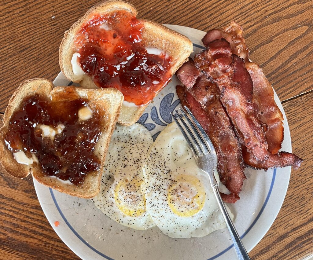
Shelia made sure I had breakfast before I left, and her homemade jam on the toast was the best part.  She is SUCH a good cook and even has a cookbook published.

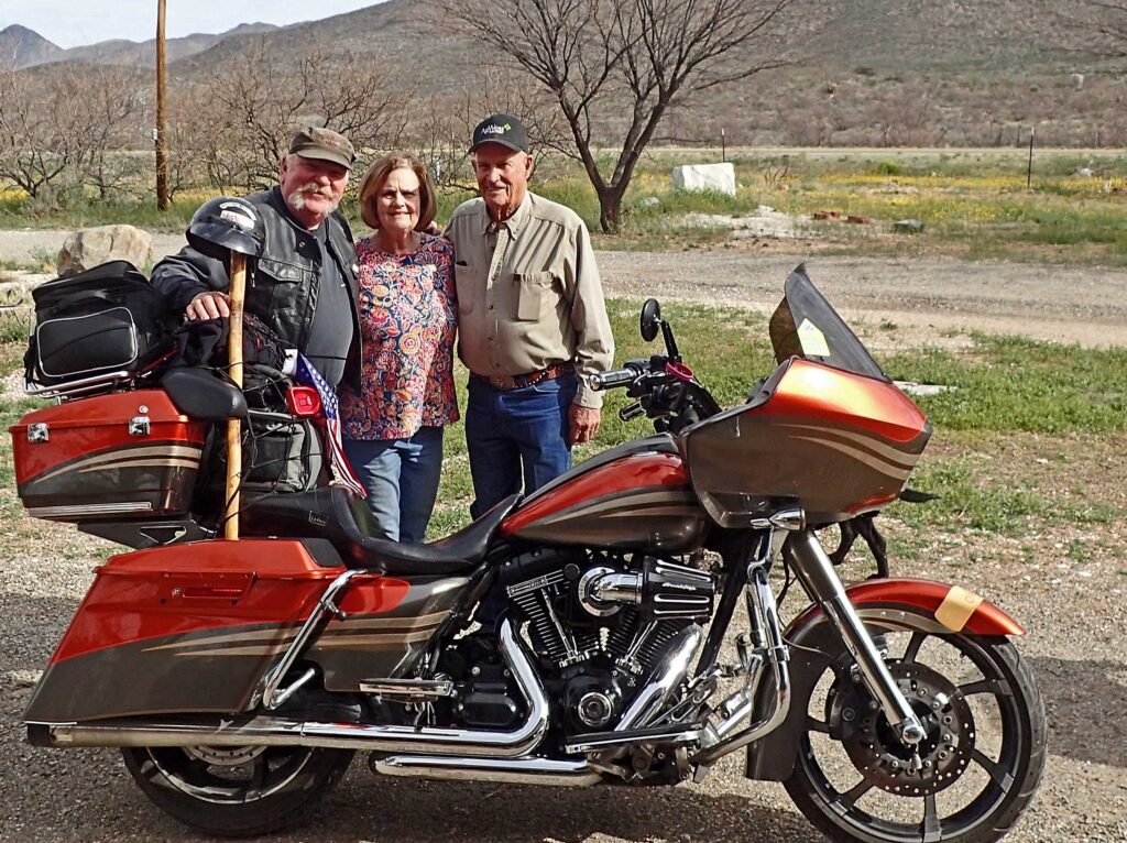
Great people and GREAT times.  A quick family photo at the motorcycle and I was back on the road.  Thank you so much for the hospitality and you can bet that I will be back.

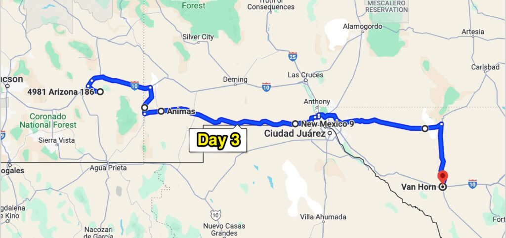
Day 3  Wind – the END.

Okay, it wasn’t THAT bad but it wasn’t that fun either.  Someone asked me about the wind and I told them – The wind and I aren’t friends, but we are acquainted.

I got on I-10 for a few miles then headed for the road less traveled.  Virtually nobody on this road other than white trucks with green stripes. Gotta say – these guys are mostly unsung heroes.  The Border Patrol certainly has my respect and my gratitude.

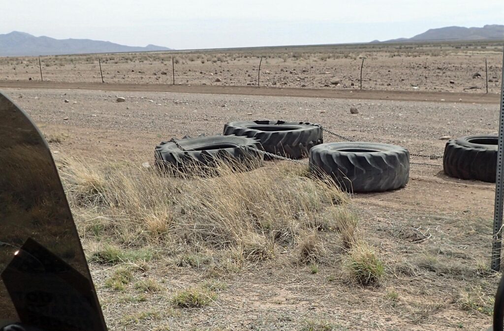
In this high-tech world, often a low tech solution is still quite useful.  Tires are dragged along the fence line and the smoothed powdery dirt is inspected for footprints.  Notice also that the wind has the grass bent over.

They do still have the high tech stuff deployed.

It was a long windy day and by the time I rolled into Van Horn, Texas I was beat. My wife and ride secretary got me reservations in a town that was booked solid.  She is a gem.

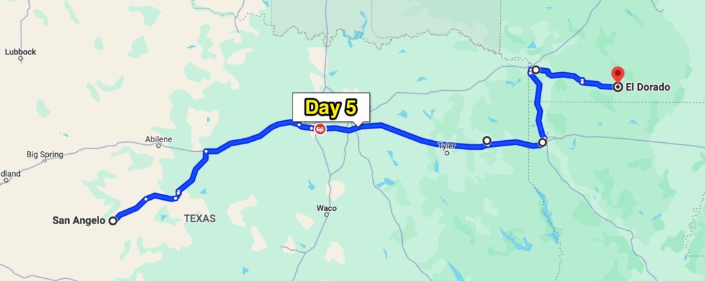
Day 4 – San Angelo, TX

One of the reasons for the lack of hotel rooms is the eclipse.  I had planned to go myself and show you what the eclipse looked like in the zone of totality – however, “the skies will be cloudy all day”.  Folks coming from all over the US and instead of eclipse glasses they are going to need an umbrella!!

My plan was to go down to Terlingua today and ride around Big Bend National park tomorrow.  With all the rooms booked in Van Horn I thought I’d better check before I get all the way down to Terlingua and find out that there is no room at the Inn.  Let’s see, it’s Saturday, the weather is good, people are flooding to Texas for the eclipse on Monday and might want to visit Big Bend along the way.  Good thing I checked – Nada

Plan B – Find a motel room and make that your destination.  As you get closer to the zone of totality (full eclipse) the vacancies begin to disappear.  I found a room in San Angelo so I made that my destination.

Started out on I-10 eastbound and actually had a tail wind!!  I’ve been on that road many times and the wind was always out of the south – wind at my back was a real treat.  Minimum staying alive speed here is 85 mph.  My bike was loving it, 85 or 90 loaded down and not even breathing hard.

I was planning to go up to Midland then over to San Angelo but after my northbound turn from I-10 to I-20 the minimum staying alive speed didn’t change but the BS level was high.  Big rigs all over the place, but they’re fighting the wind as well so I do understand.  However, I don’t have to be right next to them (fighting the same wind) while they are making unplanned lane changes.  In Pecos I bailed off the slab and was on what Texas calls farm roads.

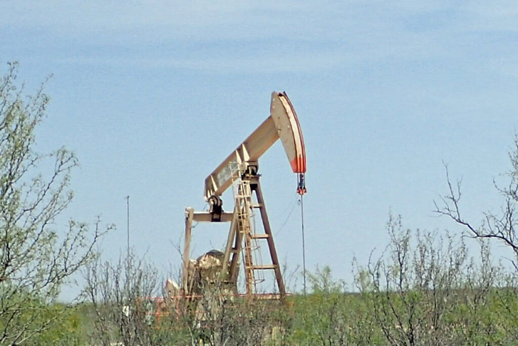
Where I was there were no farms.  The only things coming out of the ground were mesquite and dead dinosaurs.

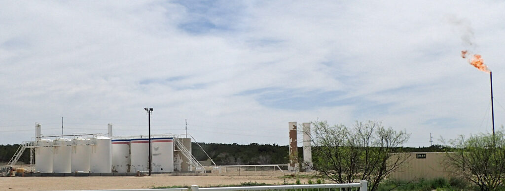
Later on down the road, the cash crop changed to natural gas, complete with a flare stack to burn off the excess.

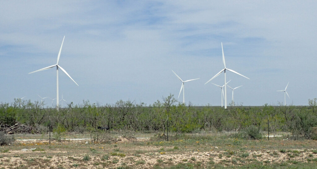
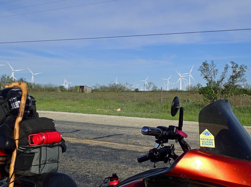
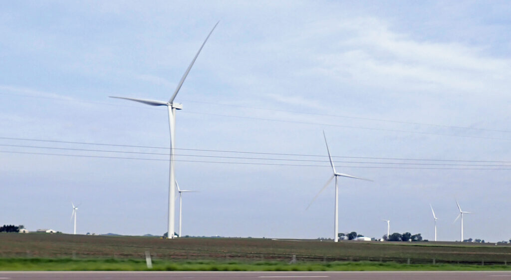
And then to wind – these guys are counting their money today.  The wind machines weren’t packed in tight but went on and on – twenty miles or so.

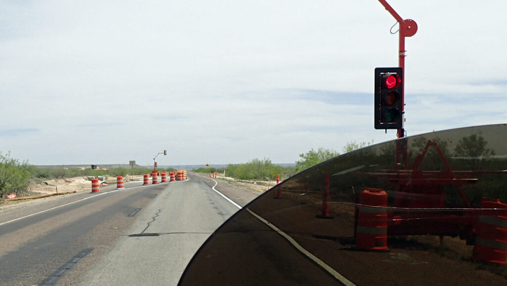
About 35 miles out of San Angelo there was 50 yards of construction where the road was down to one lane.  To control the traffic they put in a stop light.  While I was sitting here all alone – obviously nobody coming the other way; I felt like I was at the toll booth scene in Blazing Saddles.  Right after I took this picture I ran the red light.

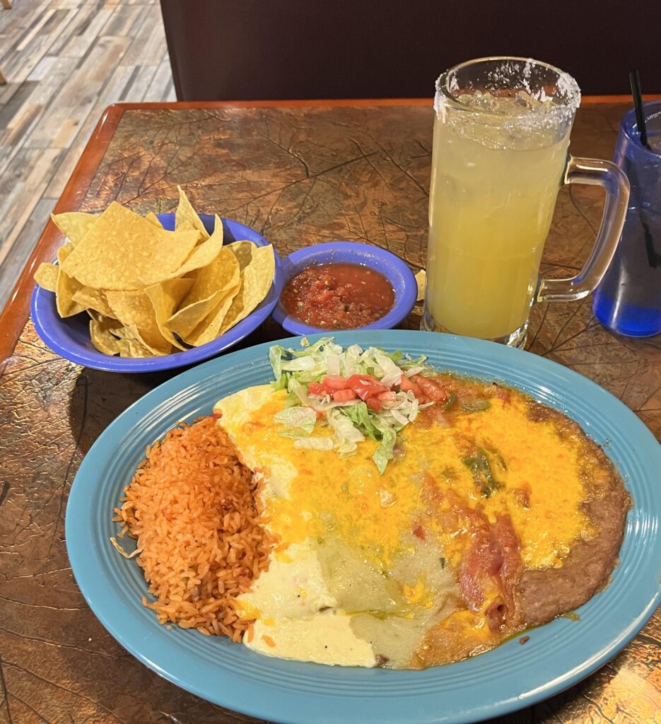
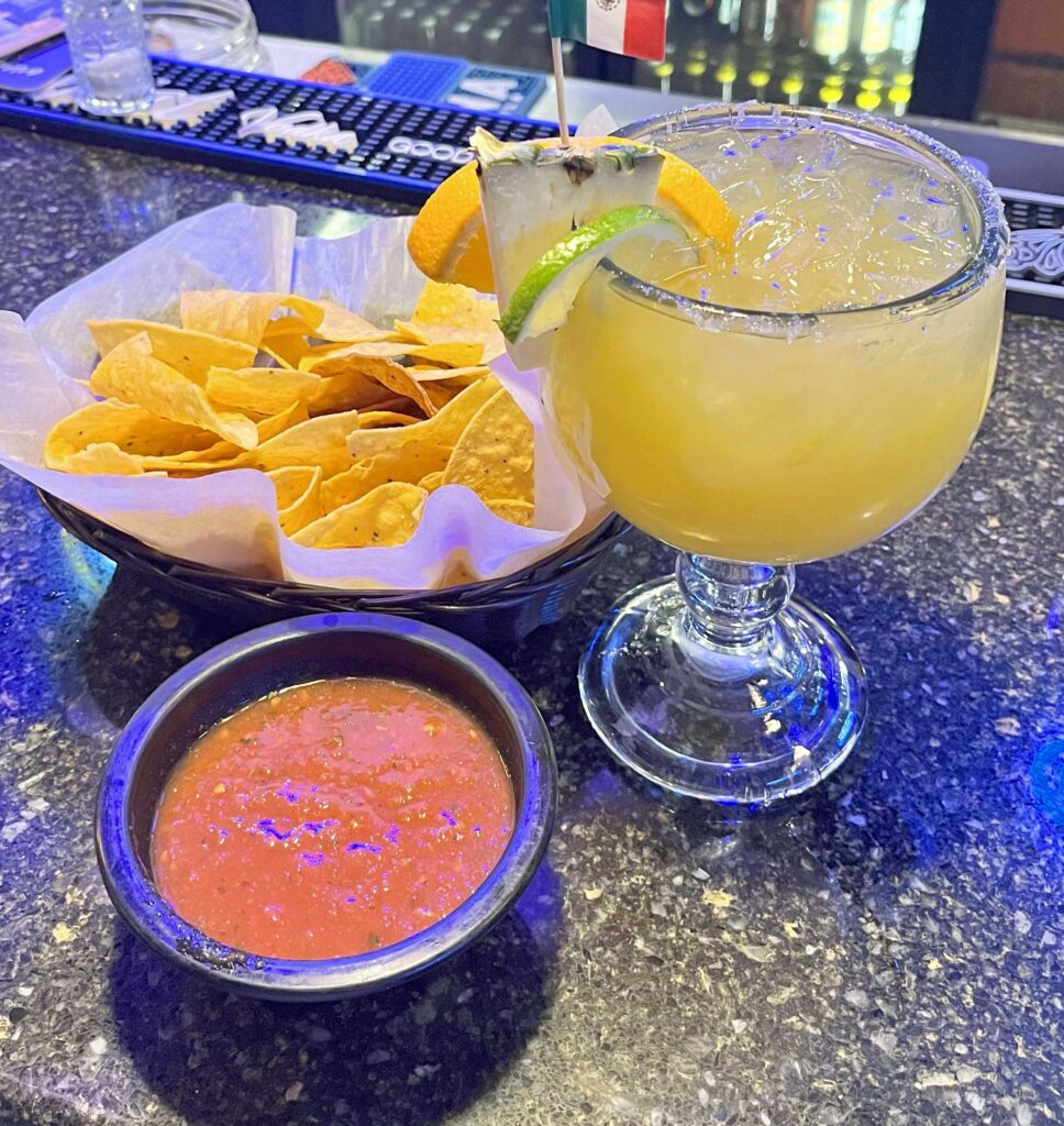
When you’re looking for a place to eat, look for parking lots that are full and/or contain police cars.  Packed parking lot at this Mexican place in San Angelo – good food, better margarita.

Okay – time to wrap this up and get some rest – tomorrow I’m running eastbound to see if I can get out in front of the coming storms.

Day 5 – El Dorado, AR

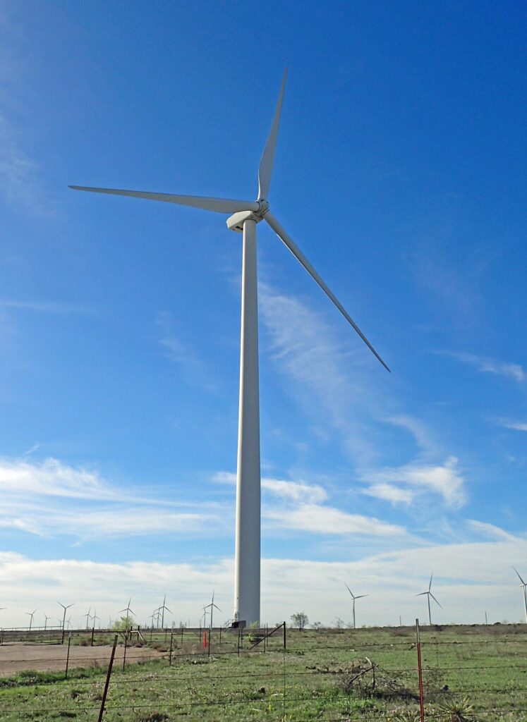
I was up early and was gone just after sunrise this morning.  Right away I went through another wind turbine farm but this time there was a turbine tower right next to the road so I  decided to stop and see how much noise they make.

The answer is – about what you would imagine with a propeller that big whipping around.  Might better get used to seeing these things around – “Wind energy provides more than 20% of total electricity generation in 12 states, with more than 50% in Iowa and South Dakota, and more than 30% in Kansas, Oklahoma, North Dakota, New Mexico, and Nebraska.”  Can you say government alternate power incentives?  Texas is 21.6%, California is 6.9%, and Arizona – – 1.4%.  Must not be much wind in AZ – HA Ha ha

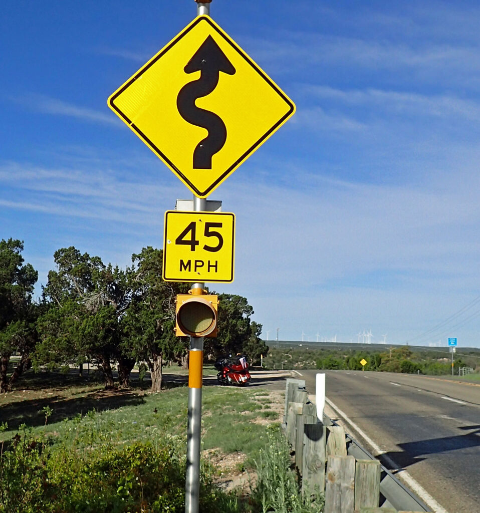
Here’s a road sign that’s rare in Texas.  These turns would have been 65 mph turns anywhere else but people in Texas don’t do turns.  That’s my bike under the sign.

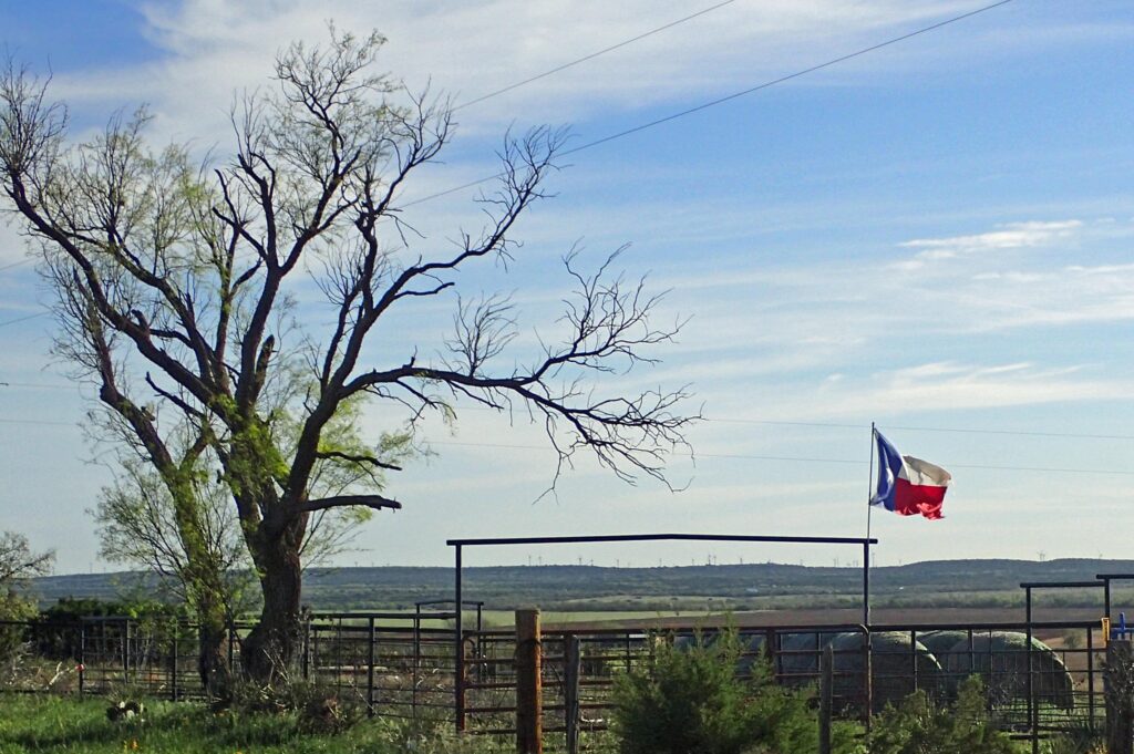
And – here is my last picture before getting up on the slab. Anything else would have been Interstate and fuel stops – Mostly Pilot, & Loves.

Whew – Today was all about putting some miles behind me – 623 miles to be exact.  Motorcycle miles are quite different than car miles for a whole lotta reasons. To get a bit of an idea, roll down all the windows on your car, then drive all day.

I was trying to get as far east as I could without getting wet but when I got to Shreveport, Louisiana it was already starting to sprinkle.  The sky north had fewer clouds so that was my new direction.  When I got to Texarkana I was again eastbound; when it started getting dark I was in El Dorado, Arkansas.

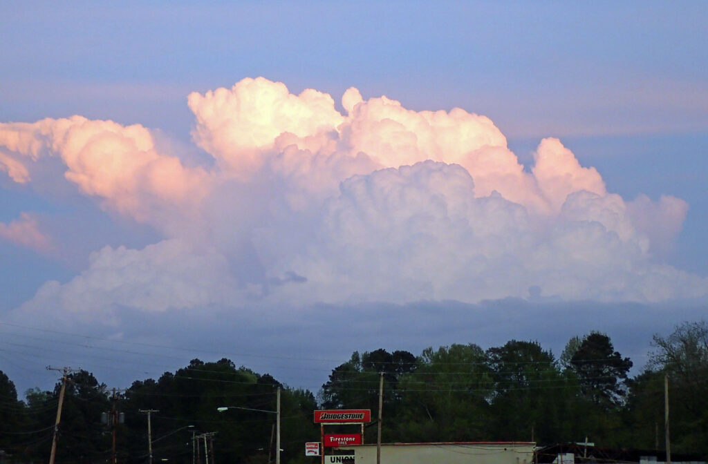
As the sun was going down God decided I might need one last reminder of what’s in my future.  At least I didn’t have to get the rain gear out today.

Day 6 – Sharpsburg, GA

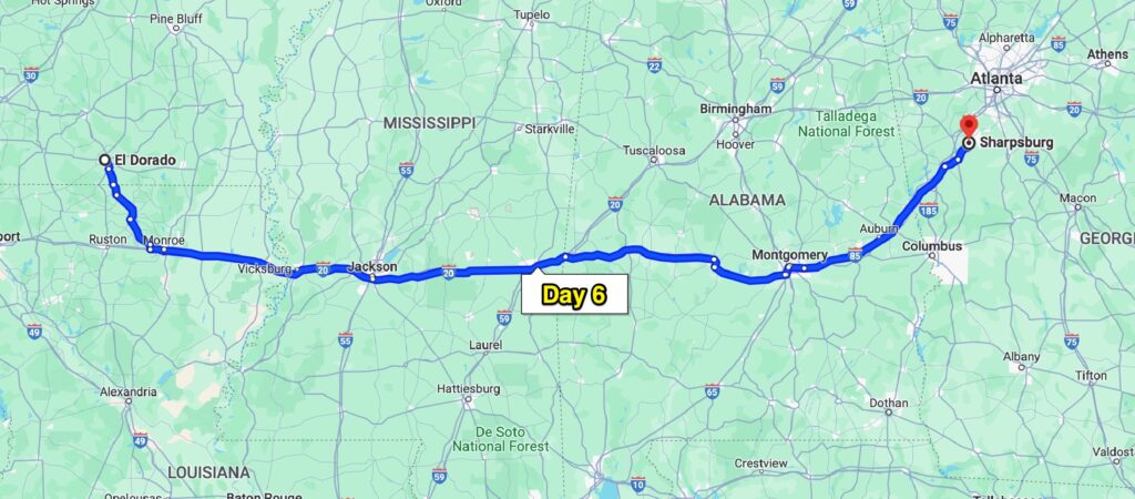
Whew, #2.  In an effort to outrun the weather heading for the area; today’s ride was another day on the slab – 544 miles worth.  I contemplated just spending a day in El Dorado, AR but decided that if I had a chance to go, I should take it  – and it was one of those chancy decisions.  This is what I was trying to outrun.  In my motel rooms I watch the weather channel exclusively – btw I’m all caught up on the Highway Through Hell (a weather channel tow truck series). Predictions were, tornado possibilities (tourcon level 3), up to 2 inch hail, and places in Alabama could get 8 to 10 inches of rain!!  I wanted NO Part of that.  In these situations I would usually just stay another day or two wherever I am, let these weather systems go on through, then continue my leisurely adventure – but this time around, I have date in Georgia.

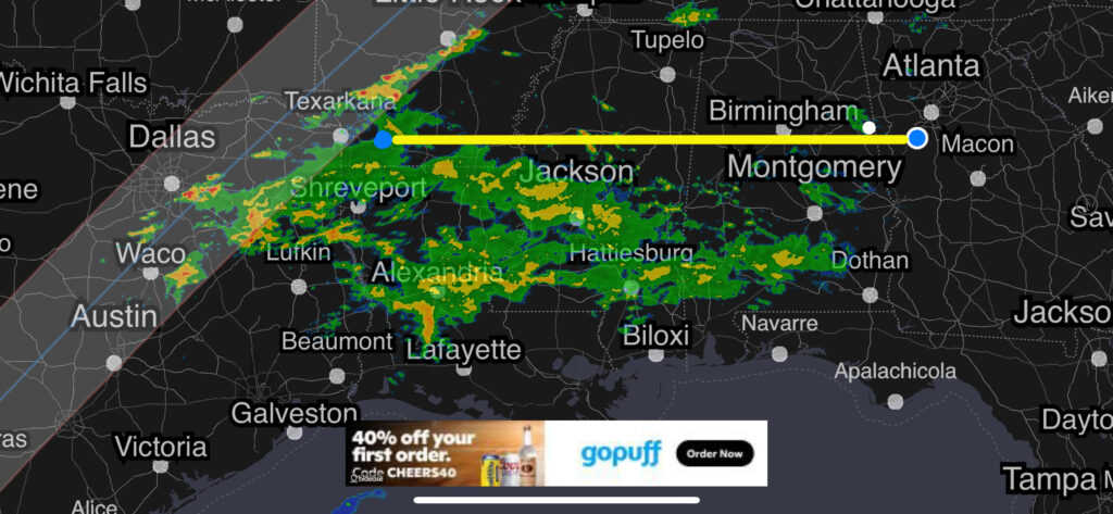
This is a screen shot from my phone’s RADAR app just after I got here.  My wife was following my progress vs. the storm and said it was nipping at my heels the whole way.  That system is building and moving northeast on a line just about parallel to the eclipse zone of totality.  Speaking of the eclipse, I did notice it got quite a bit darker at eclipse time but it was pretty dark to start with where I was.  No use for those fancy eclipse glasses I bought – maybe emergency welding glasses…..

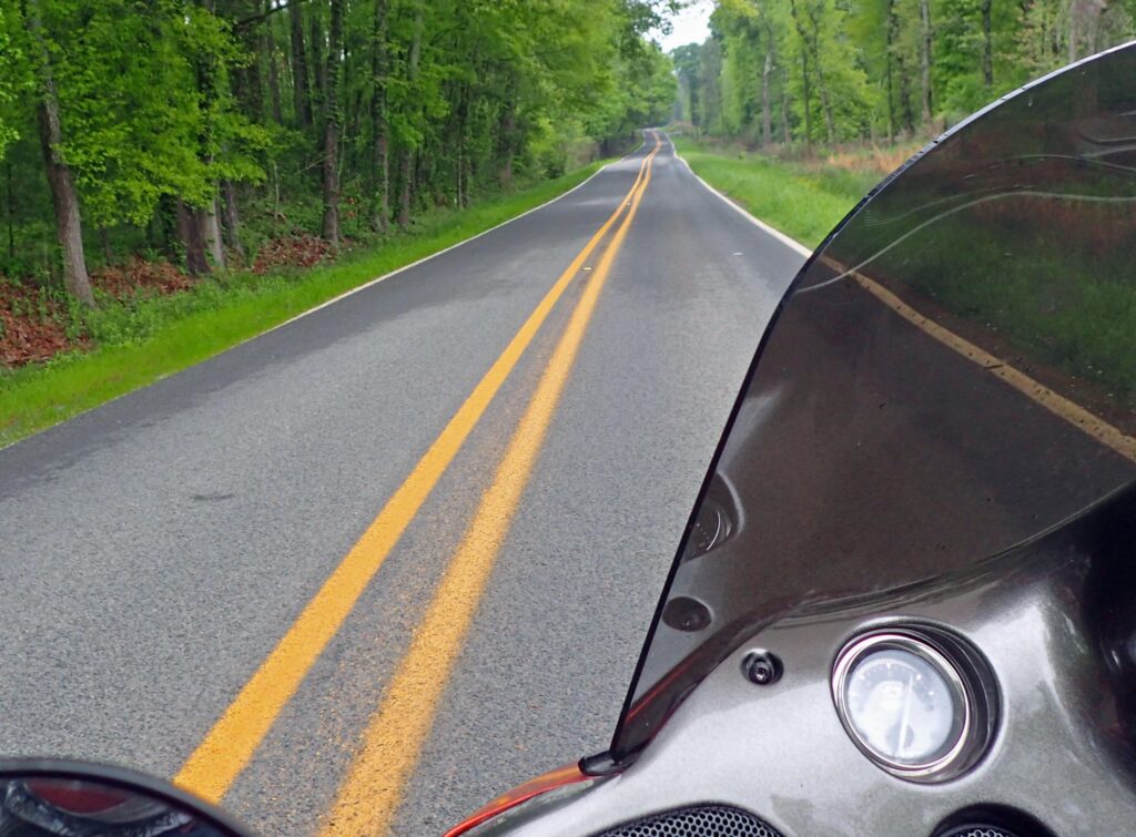
The day started out well enough and I was very happy to see that this was going to be my breakfast road.  Sadly, it’s not a smooth road and speeds much over 40 mph made the bumps pretty painful.  Oh well, when you’re going slow you get to look around and it was a nice way to start the day.  After about 45 miles I’d made my way down to I-20 and was still dry; that changed 15 miles later.

I didn’t think I would be able to avoid all the rain but in a show of great optimism, I didn’t put on any of my rain gear.  Now – in my defense, I’ve done this before and it’s worked at least 5% of the time.  I’ll spare you all the gory details, and just say that three times over the course of the day, I got quite wet and completely (almost anyway) dried out before getting quite wet again.  Probably should have put the rain gear on but it always looked like that time was going to be the last time – until it wasn’t.  I blame my mom and my little brother for making things look so good and then sending some more rain my way.  They would both think that was pretty funny.  And – FOR SURE if I’d gotten all suited up to start with, they would’ve made sure I was dry the entire way.  The spirits I ride with……..

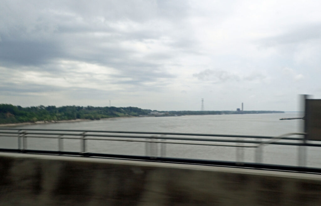
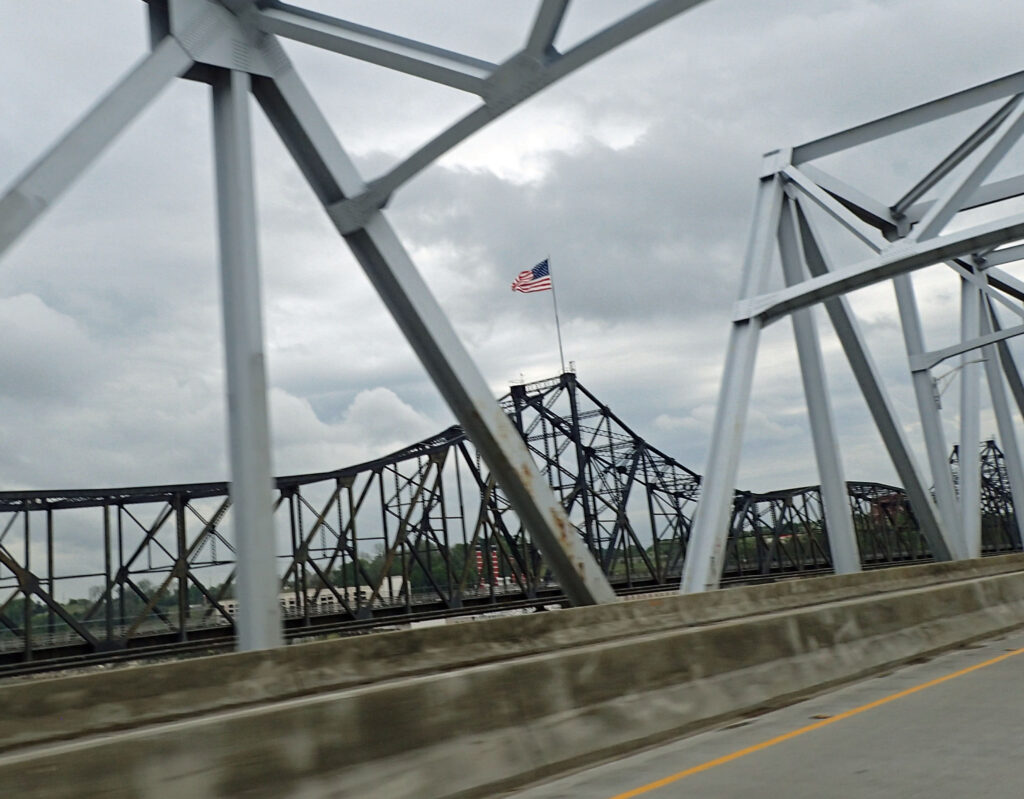
There’s not much to look at when you’re hauling ass down the Interstate with rain clouds chasing you but I always try to get a picture crossing the Big Muddy.

I was only going about 50 mph when I took this picture, but it was so dark that the shutter speed couldn’t keep the picture from being blurry.  This next one is the view looking North.

Since this is I-20, I’m sure many of you have seen this before.  Other than those couple pictures I kept my hands on the handlebars and didn’t stop unless I had to.  I stayed on the front of the wave of the storm and only got a small taste of what it was bringing.  I’ll be here in Sharpsburg visiting my Georgia family for about a week.  Then I’ll be going south to West Palm Beach, FL – any suggestions on route of travel, interesting places to see along the way, or good places to eat would be appreciated.

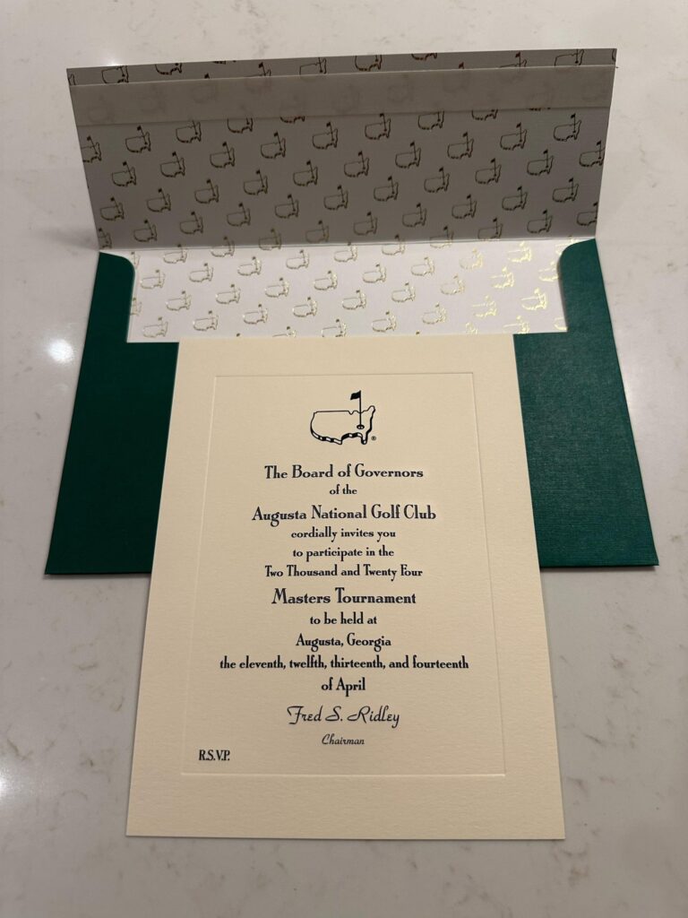
Oh Yea – I almost forgot.  I told you that I have a date in GA.  On Friday and Saturday I will be in Augusta – one of the patrons at the Masters.  That’s right – the ticket in golf that you can’t get.  One of my best friends (more like a brother really) got a couple tickets somehow and called to see if I’d like to go!!  Uhhh YEA.  So – if you are watching the Masters on Friday I’ll be wearing a bright yellow shirt.  Fore Please……

2024 Masters

What an experience!!  Two days on the hallowed grounds of Augusta National Golf Club.  Talk about pristine – the whole time I was there, I looked for a weed and there are none.  The grass isn’t just cut, It’s manicured.  The greens are so perfect they look like pool table felt.  It’s hard to make yourself believe that what you’re looking at is actually grass.

It’s said that your Patron’s Credential for this event is the toughest ticket in all of sports.  It used to be nearly impossible to get a ticket.  These days it’s a tiny bit easier but “cost prohibitive” is an understatement.  I know a guy that knows a guy – and my attendance was actually very reasonable.  Just FYI the face value of a 4 day credential is $450.

Speaking of reasonable – (compared to other sporting events) the food at The Masters is almost free.  A sandwich is $1.50-$3.00.  Fountain drinks are $2 and beer & wine are $6.  I did have the pimento cheese sandwich and it wasn’t bad at all.  Everything I ate there was plenty good but nothing out of this world.  It’s more that you’re at The Masters and you gotta try all the food that is unique to the event.

According to Forbes, the 2022 Masters generated $142 million but left another potential $269 million on the table.  I’ve heard that the money from the Masters, Women’s Amateur, and a couple other events help to keep the members dues and assessments quite low.  I was going to ask Condoleezza but I didn’t see her.

On Friday, we got to see virtually everyone that accepted this invitation; and on Saturday we watched every golfer that made the cut play the 9th hole.  Sadly, the Chi-Chi, Trevino and Palmer days are gone – all of these guys are at work and any participation with the gallery doesn’t involve eye contact.  They might touch the brim of their hat or give a little wave but they are Hyper Focused – after all, this is The Masters.

When you get on the grounds folks hurry place their chair, if they have one, on the course where they might like to sit and watch (no running).  Then you go walk around, do your shopping, get something to eat, etc.  Those are YOUR chairs (there’s a name tag) but anywhere on the course, you can sit in ANY open chair.  If the owners come, you just get up and it’s all good.  We used the empty chair rule many times when we were walking the course on Friday.  Walking Augusta National is equivalent to walking up and down FIFTY flights of stairs!!  The pros say it is the second most difficult “walk” on tour.

I’ve been to a few golf tournaments all of them pail in comparison to The Masters in every way.  In addition to being the Augusta National Golf Club they are SET UP for large events.  Attendance is around 40,000 per day but you won’t be waiting very long in any of the lines.  Food, bar, bathroom, or Golf Shop – all the lines move fast.  It’s really a smooth operation.  By comparison, if you go to the Los Angeles Open (or whatever they call it these days) you’ll most likely be parking in someone’s front yard and paying up to $100 for the privilege.

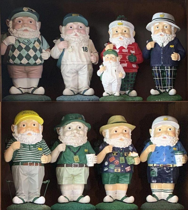
Shopping at the Masters is a THING.  Most folks come with a list of stuff their family and friends want them to get.  Much of the stuff you see with a Masters logo can’t be bought anywhere but on the grounds – and folks want that stuff.  My niece had a small list for me and my buddy spent over $2K on his list.  I bet you didn’t know this – the big thing that just about everyone wants is a gnome.  That’s right – in 2016 they started selling gnomes, a different one every year.  Here is what they look like (2024 is top right).  Their right hands are up because they are holding the strap of a golf bag that’s over their shoulder.

If you want one, check eBay.  One person has his collection priced at $16,000.  Since they only sell about 200 per day the line to get into the golf shop first thing in the morning is LONG.  No, I did not buy one.  I got this Tilley hat and a flag.

If you get a chance GOThank You Scott….


Day 7 – Gainesville, FL

Time to say goodbye to my Georgia family and get back on the road.  Since I’m no poet I’ll just quote The Bard and say – Parting is such sweet sorrow.  See y’all next year.

I left around 8:00 which put me right in the middle of school traffic.  I was able to avoid any incidents with the soccer moms and teens paying little to NO attention and was in rural GA in less than an hour.  What a beautiful morning, especially on new tires.

Since I’m usually in the Atlanta area for awhile that’s where I plan to do any required maintenance on the bike.  This time it was two new tires and a new rear axle.  It’s difficult to describe what a pleasure it is to be riding on new tires.  It’s a bit painful in the pocket book but you forget about that after gliding effortlessly through a few turns.  Ahhhhh…..

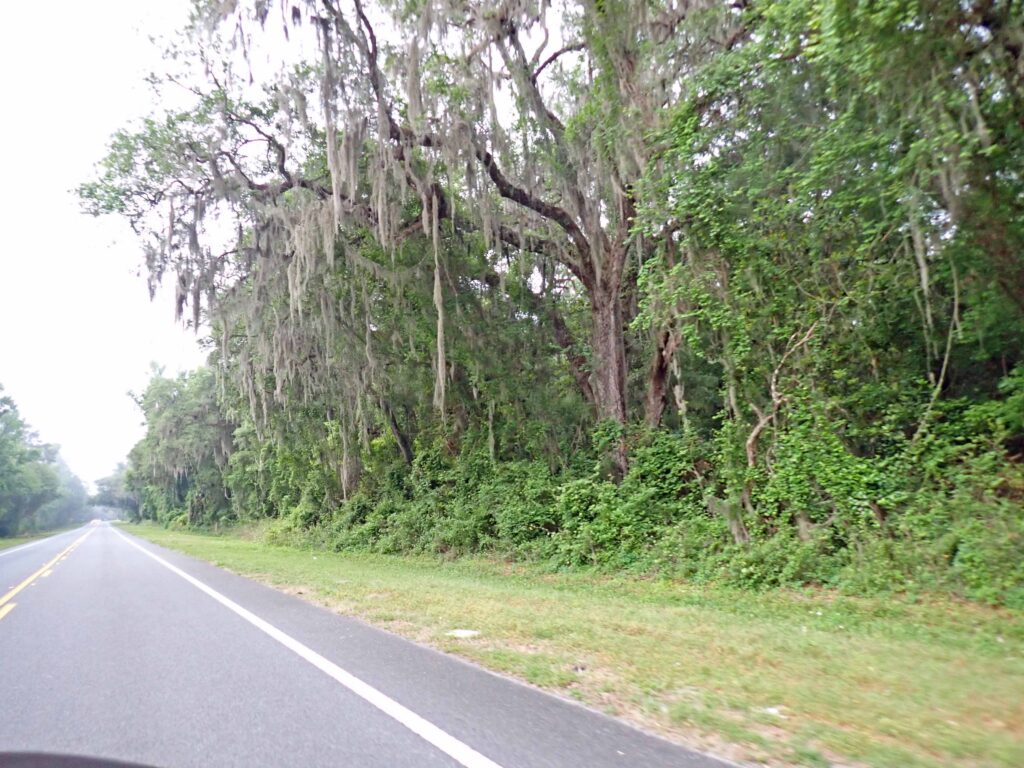
All this green is quite a difference for us western US folks.  All that green will reclaim anything you leave unattended for very long.  The only reason this house is still even visible is because it’s right on the edge of the tree clearing line for the road.

Now THIS is a farm road.  I really enjoy riding through the farm lands.  I try to guess what they are growing, or in this case – what the crop will be.  Thank God for the farmers.
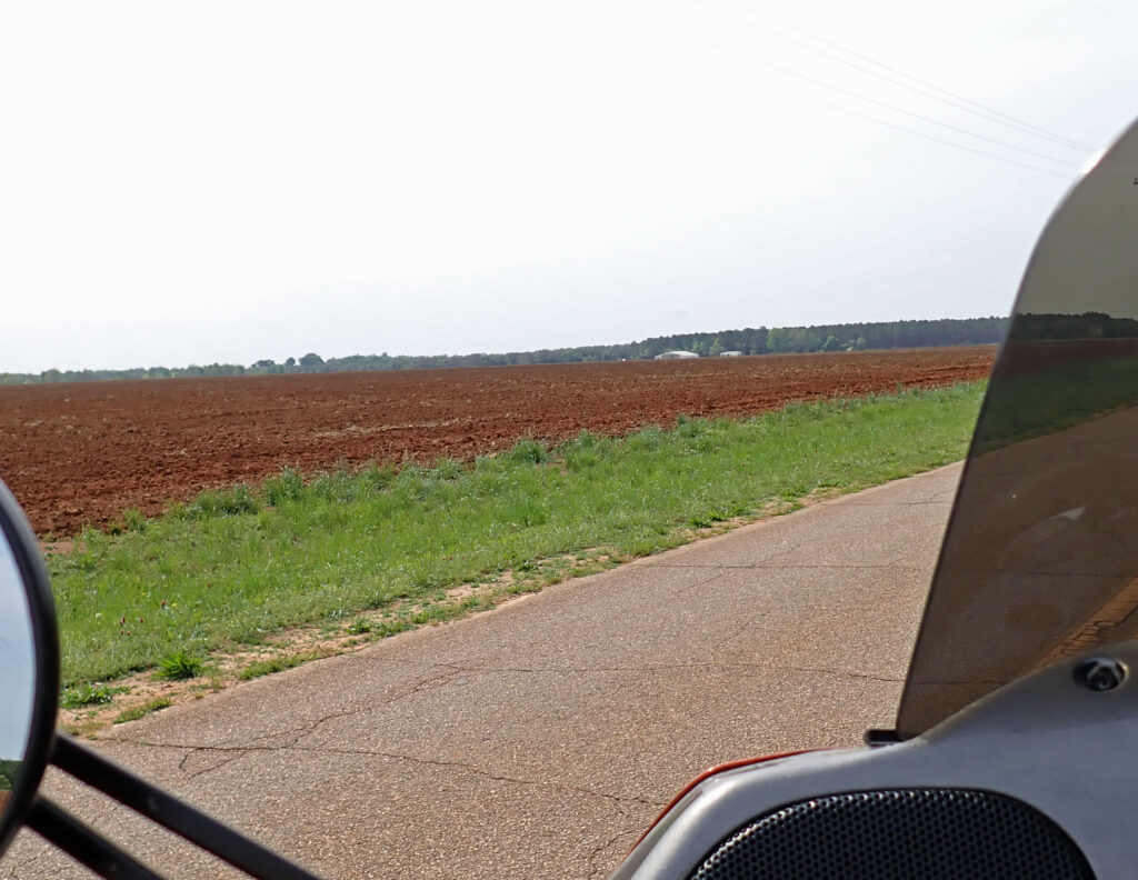
This is a quote from the late Paul Harvey.  It’s a bit long but it’s good.

And on the 8th day, God looked down on his planned paradise and said, “I need a caretaker.” So God made a farmer.

God said, “I need somebody willing to get up before dawn, milk cows, work all day in the fields, milk cows again, eat supper and then go to town and stay past midnight at a meeting of the school board.” So God made a farmer.

“I need somebody with arms strong enough to rustle a calf and yet gentle enough to deliver his own grandchild. Somebody to call hogs, tame cantankerous machinery, come home hungry, have to wait lunch until his wife’s done feeding visiting ladies and tell the ladies to be sure and come back real soon — and mean it.” So God made a farmer.

God said, “I need somebody willing to sit up all night with a newborn colt. And watch it die. Then dry his eyes and say, ‘Maybe next year.’ I need somebody who can shape an ax handle from a persimmon sprout, shoe a horse with a hunk of car tire, who can make harness out of haywire, feed sacks and shoe scraps. And who, planting time and harvest season, will finish his forty-hour week by Tuesday noon, then, pain’n from ‘tractor back,’ put in another seventy-two hours.” So God made a farmer.

God had to have somebody willing to ride the ruts at double speed to get the hay in ahead of the rain clouds and yet stop in mid-field and race to help when he sees the first smoke from a neighbor’s place. So God made a farmer.

God said, “I need somebody strong enough to clear trees and heave bails, yet gentle enough to tame lambs and wean pigs and tend the pink-combed pullets, who will stop his mower for an hour to splint the broken leg of a meadow lark. It had to be somebody who’d plow deep and straight and not cut corners. Somebody to seed, weed, feed, breed and rake and disc and plow and plant and tie the fleece and strain the milk and replenish the self-feeder and finish a hard week’s work with a five-mile drive to church.  Somebody who’d bale a family together with the soft strong bonds of sharing, who would laugh and then sigh, and then reply, with smiling eyes, when his son says he wants to spend his life “doing what dad does.”  So God made a farmer.
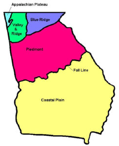
Georgia’s peach industry is concentrated in Macon, Peach, Crawford and Taylor counties along the fall line, the transition zone between Georgia’s Piedmont and Coastal Plain.  Peaches are native to Asia but have been grown in the US since the mid 1800’s.

I would havre gotten some to take with me but it’s still a bit early.  Peach season runs from May through August.  These peaches trees are a little south of the normal growing area.


One of the unpleasant things I had to deal with today was the jasmine.  It’s not in full bloom yet but the smell is still very strong.  Even if you liked the smell of jasmine, which I do not, I can’t imagine you wouldn’t be sick of it after being subjected to it for so long.

In my (never to be humble) opinion – honeysuckle should be what’s growing wild along the road; and it is in places.  Here is a tiny bit trying to survive the jasmine onslaught.
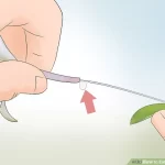
Did you know that you can actually taste the nectar from the honeysuckle? To get to the nectar, pick the flower along with the stem below it.  Pull on the stem and the middle of the flower will come out and leave a bead of nectar for you to taste.  You will instantly know why the humming birds and bees are so attracted.  Honeysuckle reminds me of my childhood – we had a large bush growing on the backside of the tool shed; with a very large beehive right behind it.

The skies were pretty dark, and after being warned by a couple sprinkles I decided to quit dilly dallying in Georgia and beat feet southbound into Florida.  On the way out I went through Plains, GA and learned something – not that I really care…….

I found this pretty interesting.  These folks must have thought that the house that their great great grandfather built was so sturdy, that instead of tearing it all down, they would use one of the walls of it as part of their fence.  Windows in a fence are kinda cool too.

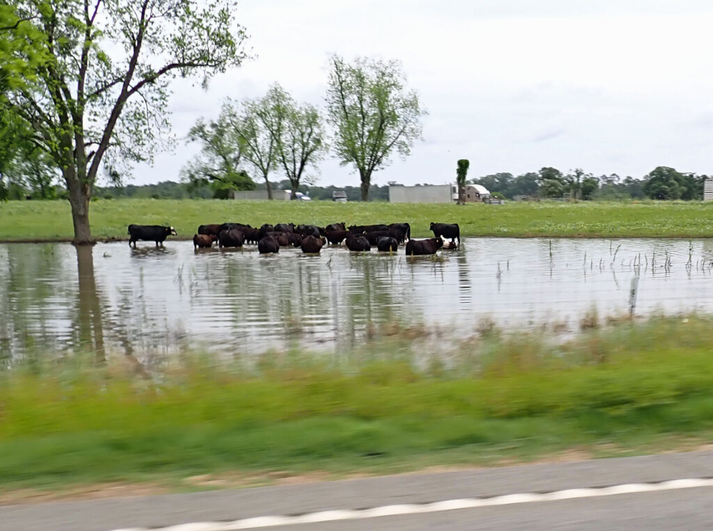
As you get farther south in Georgia the terrain gets more and more like Florida (stands to reason).  The flatter land has a tendency to hold water longer, much to the delight of these cattle.  I wonder if their skin wrinkles up after too long in the water.
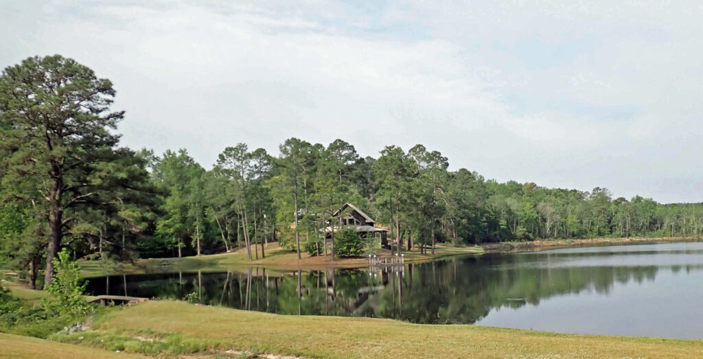
And, for me, the water would be the main attraction at this residence.  Can you imagine having your own lake?  My hobby would be growing a healthy bream and largemouth bass population; and fishing of course.  Our guest house would need a revolving door!
As you might have noticed, the skies have been getting bluer the closer I get to Florida.  By the time I crossed the border it was time to shed the jacket and re-apply the sun screen.  After all – Florida is the sunshine state – at least it is today.  And no more jasmine!

Day 8 – West Palm Beach, FL

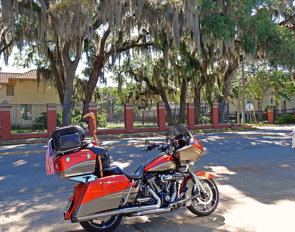
I’m sure you are familiar with Spanish moss.  Here in FL there is quite a bit of it hanging from just about every tree and half the overhead wires.

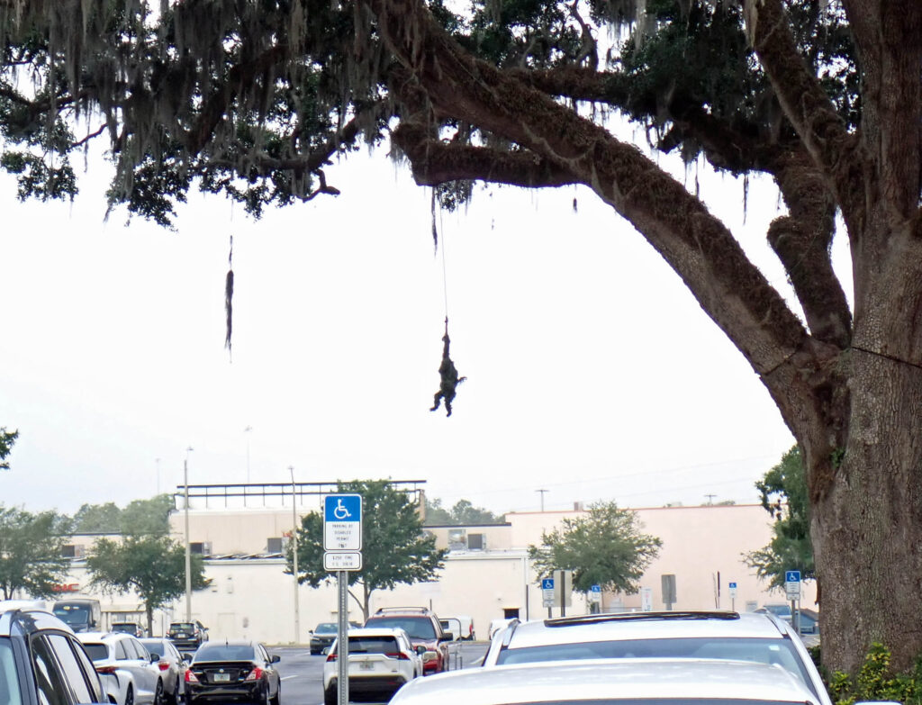
This morning, on the way out of town, I stopped at Trader Joes for some of their Simply the Best Trek Mix (good stuff) and I noticed this Spanish moss hanging down and it looked kinda like a monkey; and I had to take a picture!!
Upon closer inspection, it’s not a naturally occurring phenomenon at all.  There’s another one exactly like it on the other side of the tree as well.  Fooled me though…..ha ha

Seems like the sun’s rays are often turned to fog here in Florida.  It was exactly like that this morning.  What I should have done when I filled up with gas, was wash the wind screen.  That’s because all the bugs that sacrificed their lives to join me on my adventure are being softened by the water that the fog is creating and the dissolved bug water is coming up over the top and running down the inside of the windshield; much more difficult to successfully clean the back of the windshield.  And THEN there’s the occasional drop of bug water that doesn’t drip down the back of the windshield but becomes airborne – and THAT — will make your gum taste funny.

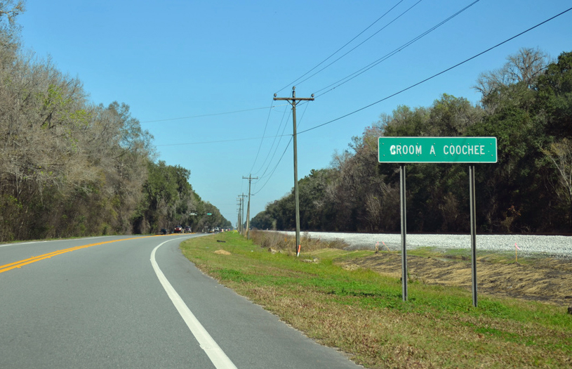
This I could not believe!!  Doesn’t that first word look like GROOM.  Yea, it did to me too, but it’s not, it’s CROOM. Croom-A-Coochee is an unincorporated community in Sumter County, Florida, located adjacent to the Croom Wildlife Management Area and near the Withlacoochee River.  But I think they like their name – and the reactions they get.

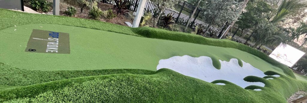
The reason I’m in south Florida is, my buddy Scott lives down here.  I came down to spend the weekend with him and his wife.  Golf is always involved and we played a couple rounds at Eastpointe Country Club.  We also played 36 holes at a mini golf place called Popstroke. PopStroke was founded about five years ago by former Wall Street executive Greg Bartoli, who is the brand’s CEO. He has been joined in ownership of the business by Tiger Woods and TaylorMade Golf, whose balls can be kept by customers.

It’s mini golf on steroids.  Music playing, TV’s everywhere like a sports bar, an actual bar on the course 4 corn hole boards, ping pong, foosball and lotsa other stuff for kids and adults alike.  Is this where LIV golf is going.  We went on Saturday afternoon and it was packed but the golf went fairly quickly.  If you do have to wait, they have benches at the tee box so you can relax with your cocktail.  They also run plenty of water misters with fans to cool you off.  Here’s another hole (you can see the TV) up by the hole.

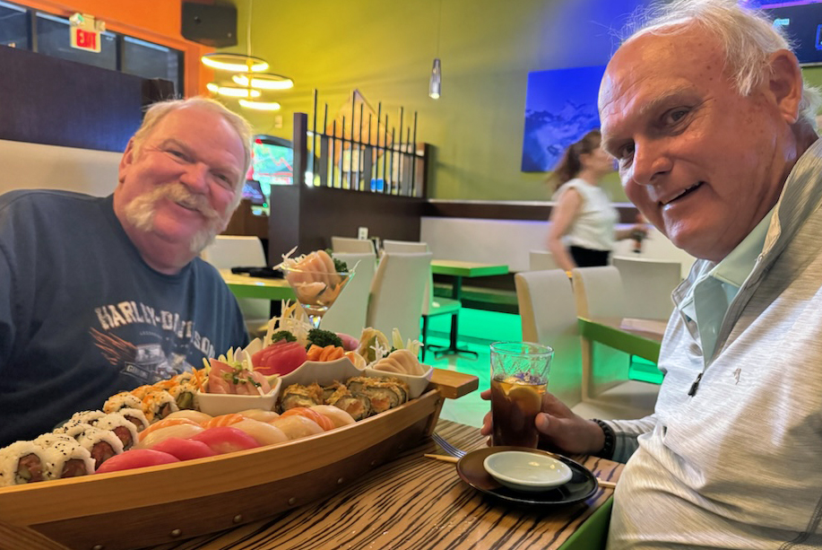
After Sunday’s round, it was time for sushi.  Every time I come down here Scott and I make our way to this sushi restaurant and get this sushi boat.  I’ve been thinking about this for a long time.  Very Good Stuff!!

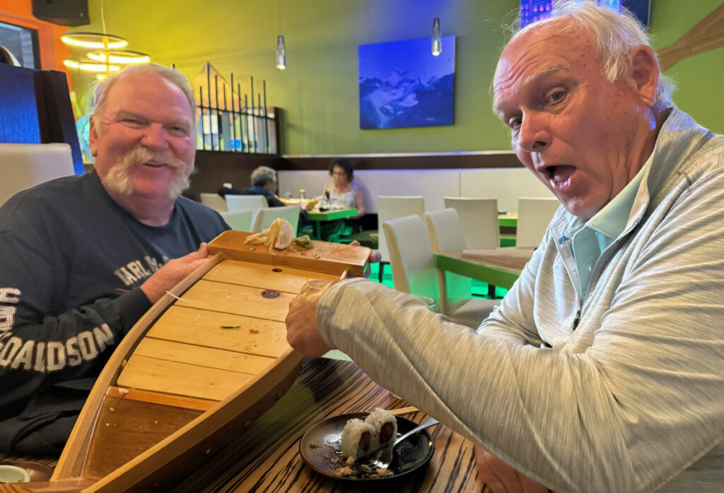
And like a magic trick – Poof, its gone.

Thank you again Scott and thank you even more to Theresa for putting me up for a couple days (again).

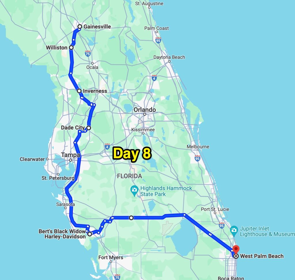
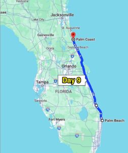
So, here’s the map.  You might wonder why I rode so many extra miles to get to West Palm Beach, I’m gonna tell ya.  About a third of the way down from Gainesville, my bike wouldn’t shift.  Not broken but locked up in overdrive.  After some gentle (don’t wanna break it) attention, it began to shift again.  I’ve got the parts and tools to fix a part that has worn out before but I’m concerned that the issue this time is more serious.  SO – I am going to a Harley dealership so I’ll have immediate access to parts if I need them and if the bike requires a more professional touch – it’s already at the dealership.

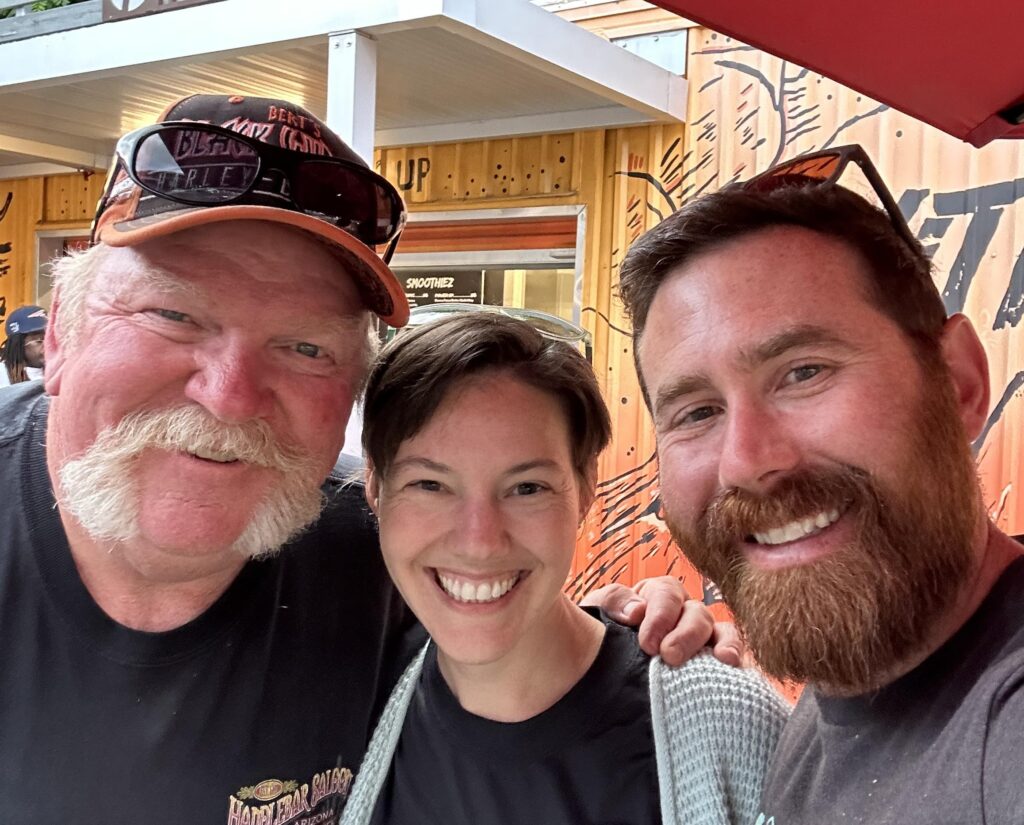
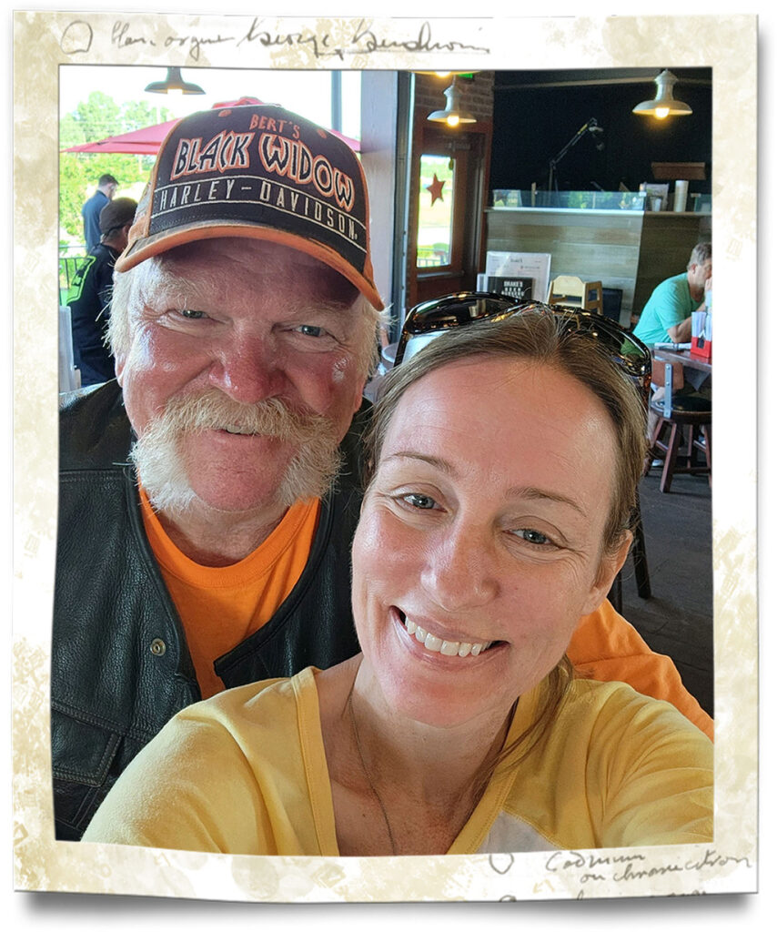
It’s 135 miles to Bert’s Black Widow Harley Davidson but they are a large dealership with lots of mechanics on duty AND they have a restaurant and bar right next door with Guinness on tap.  AND a covered area where I can work on the bike in the shade.  No decision to be made there – up onto I-75 for 120 miles, both for speed, and to eliminate any extra shifting.  When I got to the Black Widow – a couple mechanics came right out to assess the situation and I was informed that it all looked good to them.  SO – I went into the restaurant, sat at the bar, and had a pint of Guinness, or was it two, then beat feet across the state arriving in plenty of time for dinner.  Another good day on the road, with a little extra excitement and some Guinness to wash it down – Perfect!!


Day 9 – Palm Coast, FL

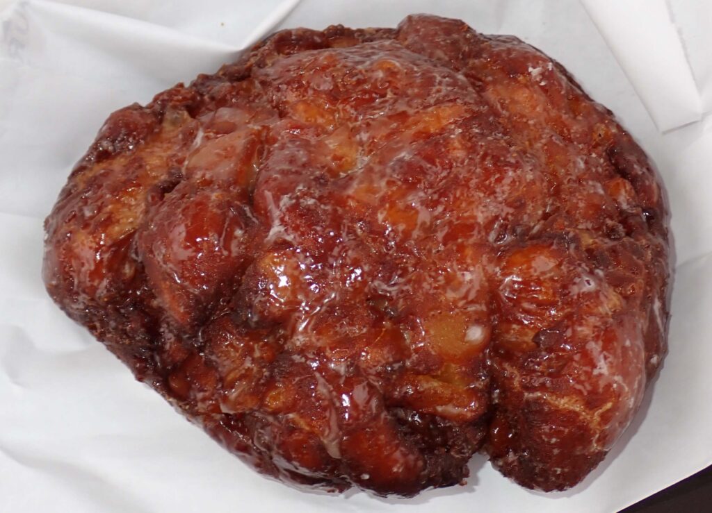
First things first – On the way out of West Palm Beach I just HAD to stop here.

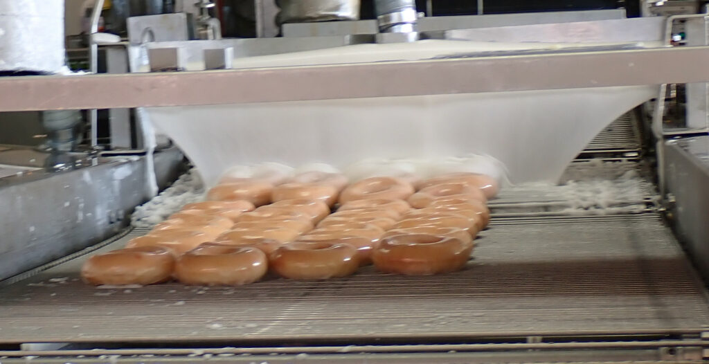
This is the very best apple fritter I’ve ever had.  They ain’t cheap but they sho am gud.

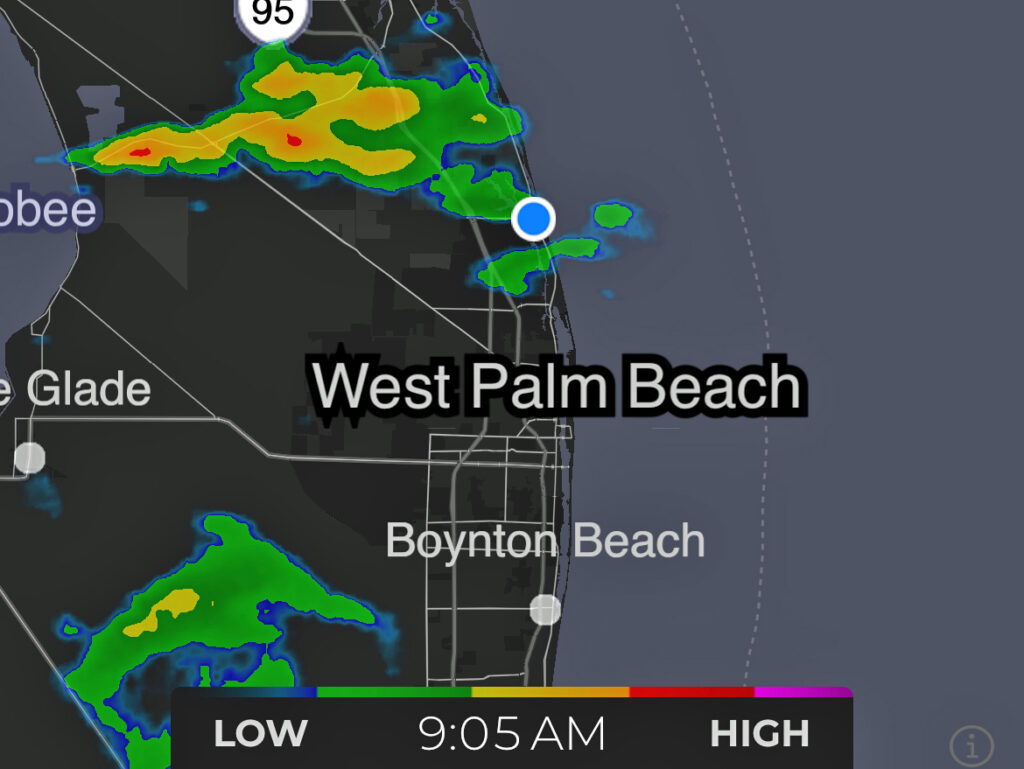
I had plenty of time to eat it too.  My iPhone’s weather radar app really gets a workout on these bike rides.  The skies to the north looked pretty black and the app showed why.

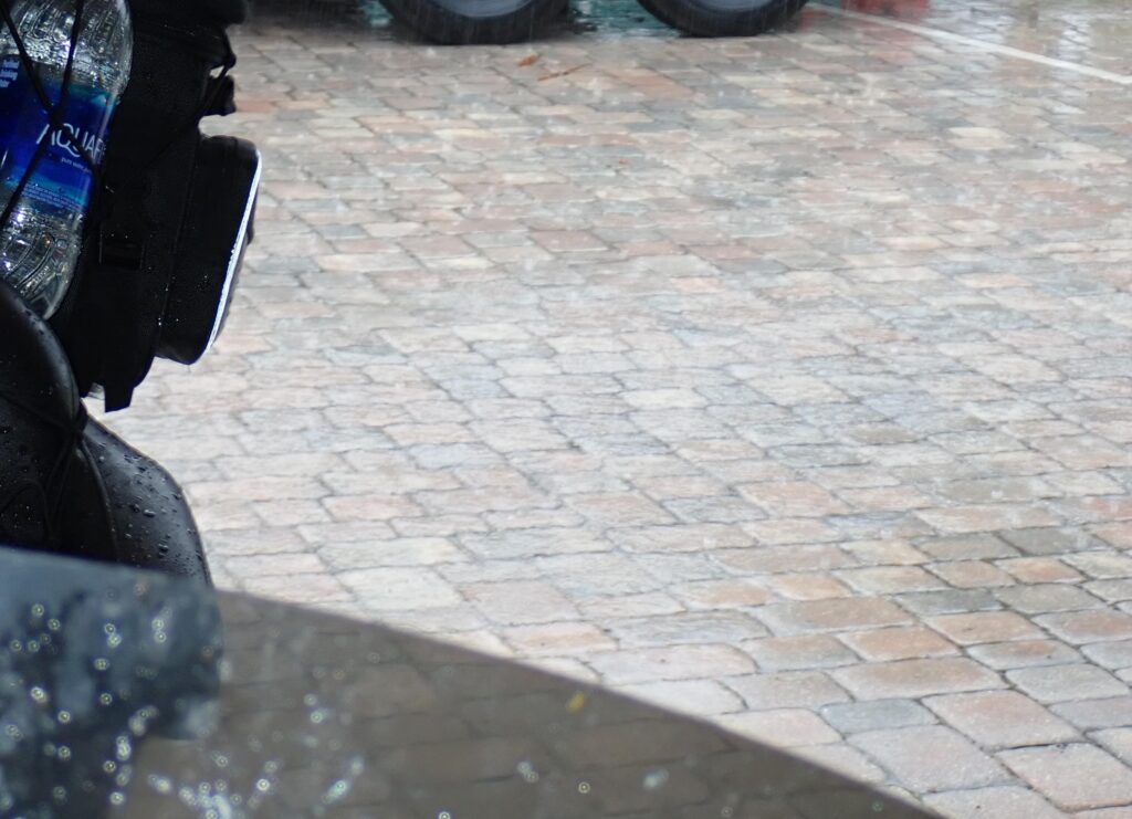
As this moved its way east I started inching my way north.  OOPS – got a little too close.  When it started POURING I was lucky enough to be passing a condo with unsecured parking.  I whipped right in and while I waited for the rain to stop, I was thanking my guardian angels and promising not to make them work so hard in the future.

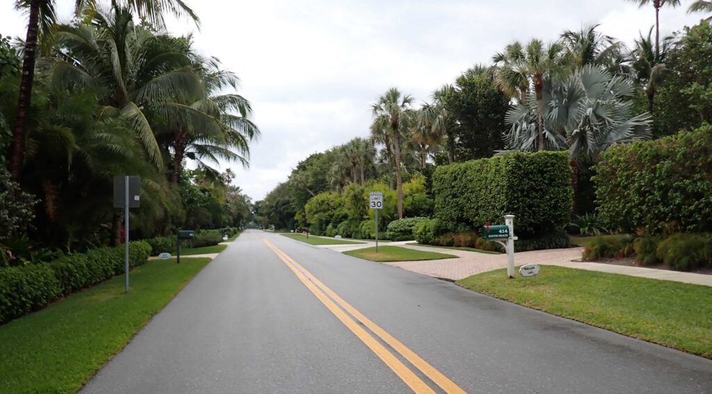
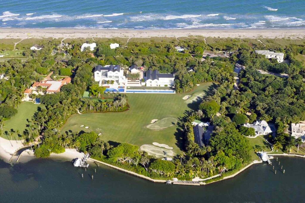
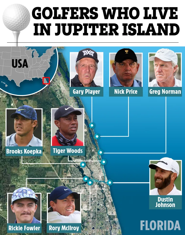
Jupiter Donuts is located in Jupiter, Florida.  If you’re a golfer – you probably noticed that Jupiter, Florida is where many of the professional golfers live (35+).  Most of the mansions here on Jupiter Island are hidden by immaculately groomed hedges and tall palm trees.
This is Tiger Woods’ mansion and compound. If you wanna see inside his house and other golf pros’ homes here in Jupiter click on the picture below to open the Sun magazine article then click on the same image on their page – sorry that’s the best I can do……  But it is cool to see where some of the really rich golfers live – No state income tax either

Today Florida was the Praying for some Sunshine State.  Threatening dark clouds most of the day kept me from wanting to get off the bike to explore.  I did get into a little shower here and there but never got really wet – I consider that a huge success..

There just isn’t a good way to go up the eastern part of Florida.  Interstate 95 is the fastest and A1A, which runs along the coast, is by far the slowest, and I’ve done both.  This time I choose something in the middle.  Federal Highway 1 is best described as a high speed surface street.  It goes right through the middle of every town in its path and overall is still kinda slow going, but I didn’t mind; I’m not a hurry.  When I found out that going around Daytona would save me over an hour – I spent the last 30 miles on the I-95.  Cooling my heels in Palm Coast – A1A tomorrow.

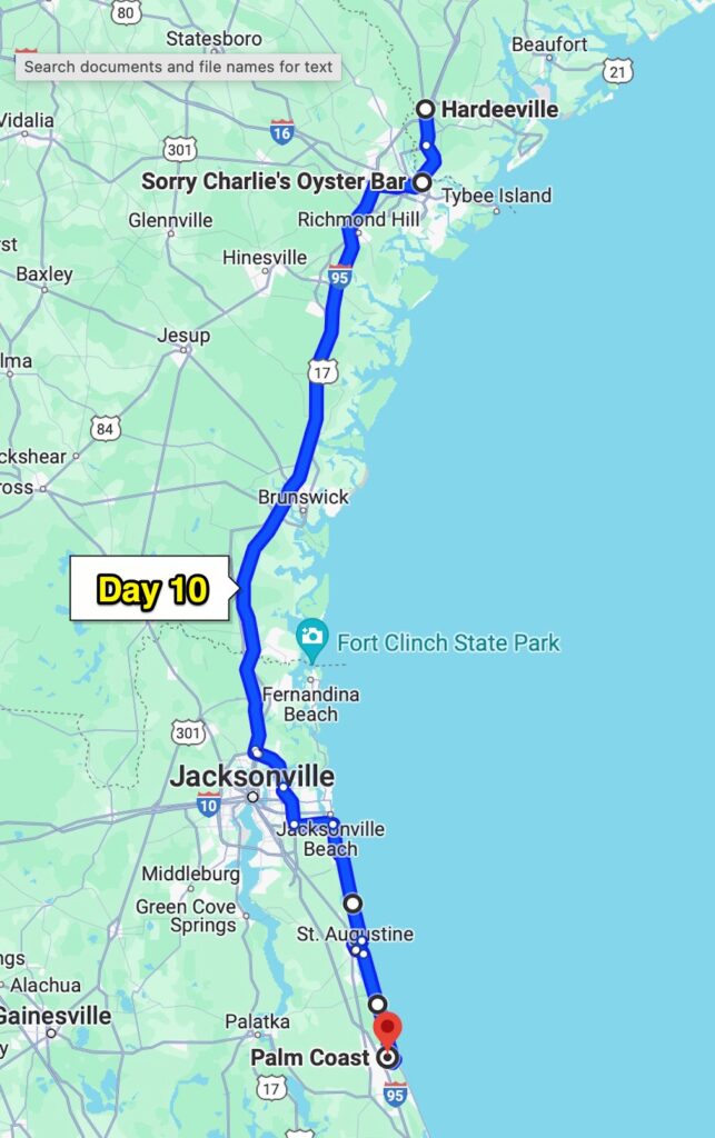
Day 10 – Hardeeville, SC

What – you’ve never heard of Hardeeville, South Carolina?  Neither had I, but here I am.  It was a pretty short day but from here I’m heading out on backroads (finally) and often the options for accommodations are limited.  Last night I stayed at a Red Roof Inn – low price, and plenty good enough (for me) room.  When I rode by one here in Hardeeville, I turned around and once again, low price (~$60) and WAY better than Motel 6.  But this is the end of the day, let’s get back to the start.

The obligatory Spanish Moss picture from Florida 2024

Leaving Palm Coast I was headed for A1A, it’s the “along the coast” road in Florida.  It was originally designated as State Road 1.  The number reflected its location as the easternmost major north–south road.  In November 1946, the State Road Board decided to renumber the route due to confusion with the parallel U.S. Highway 1.  A1A is also the title of Jimmy Buffett’s 1974 album.  Best song – A Pirate Looks at 40.

WTF – a toll booth?  I guess they built a bridge over to A1A back in 1988 and are paying for it with user tolls.  It was only $3 and worth every penny because I’m sure it keeps the riff-raff out and for over 10 miles there were no stop signs, or stop lights.  The other thing there was none of (sadly) was coastline without houses and/or condos blocking the ocean view from the road.  It was’t like this last time I was here – but that was a long time ago….

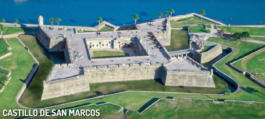
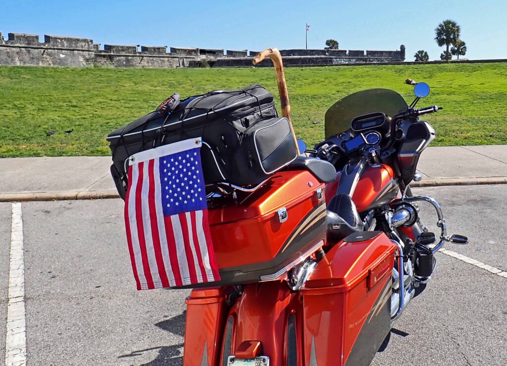
Next stop, St. Augustine.The main attraction in St. Augustine is Castillo de San Marcos. It was built by the Spanish in 1695 to defend the area and the Atlantic trade route.  Sir Francis Drake attacked and burned St. Augustine in 1586.  British pirates sacked St. Augustine again in 1668.  This hit-and-run attack, followed by the English settlement of Charleston in 1670, caused Spain to build the Castillo de San Marcos.  Begun in 1672 and completed by 1695, the Castillo replaced nine successive wooden fortifications that had protected St. Augustine since its founding. The fort’s commanding location on the west bank of Matanzas Bay allowed its guns to protect not only the harbor entrance but the ground to the north against a land attack.  Today its status as a National Monument preserves the oldest masonry fortification in the continental United States.

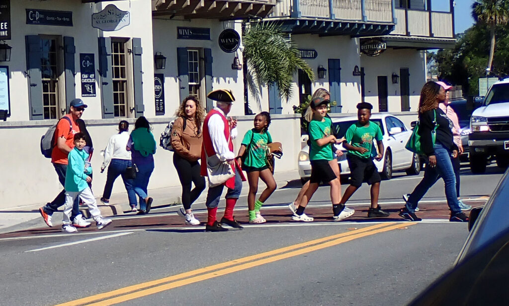
Founded in 1565, St. Augustine is the oldest continuously occupied settlement in the United States.  Forty-two years before the English colonized Jamestown and fifty-five years before the Pilgrims landed at Plymouth Rock, the Spanish established at St. Augustine – this nation’s oldest enduring settlement.  History makes St. Augustine a huge tourist attraction (smaller tourists too…) and a place for kids to learn.  So – you’re going to see lots of tour groups with guides.

You don’t need a guide to go to the Fountain of Youth.  Ponce De Leon discovered the healing waters that magically maintain your youthful appearance.  You can get a drink of those very waters right here in St. Augustine.  My youthful appearance would require a resurrection so I skipped this one.

Bottom line is – too many people in St. Augustine for me.  I was getting a little peckish and was contemplating lunch.  Savannah is supposed to have some really good seafood and is only a couple hundred miles away, so I started to look there.  I found an oyster bar that’s got top marks so I put their address in the GPS.  Going via I-95 saved me two hours over my preferred roads so that’s where I headed.

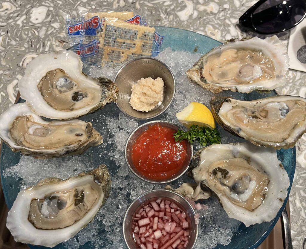
The name of my destination is Sorry Charlie’s in historic downtown Savannah.  An entrepreneur named Charlie was discussing opening an oyster bar and one of his buddies said that the historic area of Savannah would be a great place.  When he asked about parking they said, “Sorry Charlie”.  Okay, maybe I made that part up – but there is NO PARKING.  I rode a 3 block area 4 times trying to find a space and decided that no oyster was worth this crap.  On my way out – a guy pulled out right in front of me, I took the spot and could even see my bike from my lunch table – who could ask for more.

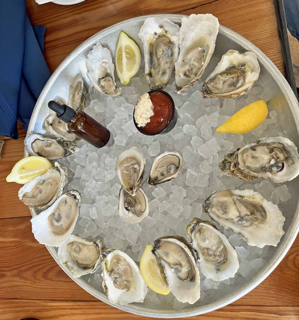
This is the Chef’s Sampler.  If you’re in Savannah, and like oysters – check out Sorry Charlie’s. Everything was great!!

However – Savannah is more of a destination than a place for lunch.  I’d suggest at least two days here.  And this would definitely be on my to do list!!

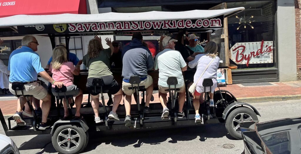
These folks were very happy so I think they were on the pub crawl, but you can go on a history loop or a haunted Savannah loop.  It’s pedal powered and by the end of your two hour tour you will probably have a new friend or two.

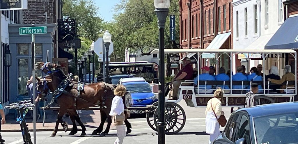
If you would rather just ride than pedal, you could go horse drawn.  From several people like this one, to a more intimate (and front facing) carriage ride for up to 4 people.

As for me, my trusty steed and I were ready to get back on the road, no more Interstate though – At least for a while.  I didn’t make it far before I saw the Red  Roof Inn, but that was just fine.  An easy day with a great meal – Perfect.

Day 11 & 12, South Carolina

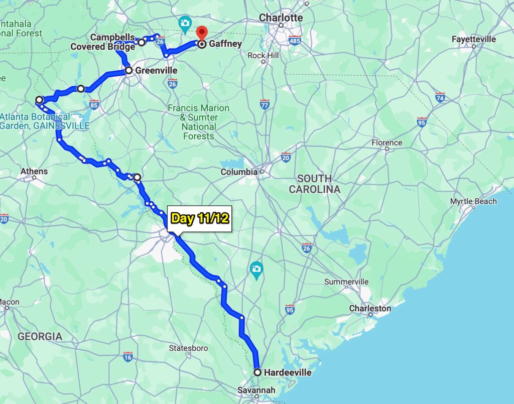
I have thoroughly enjoyed riding around in South Carolina for a couple days.  I started yesterday with a leisurely ride up to Greenville.  Some of my adopted family lives there and they have been stationed in Hawaii for a while so I haven’t seen them in 3 or 4 years.

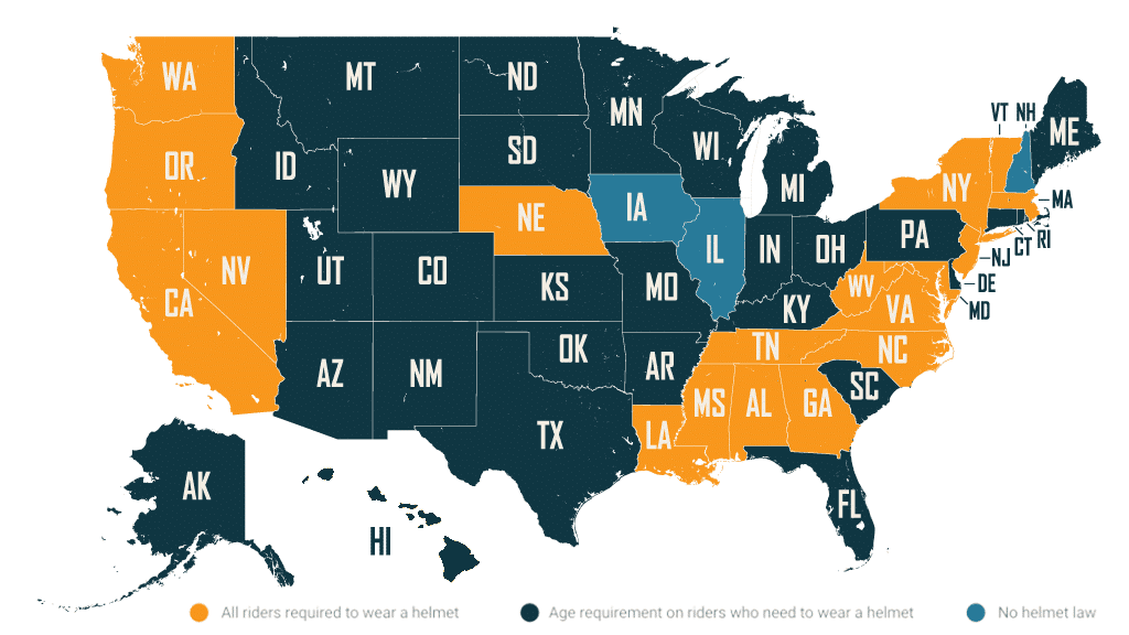
South Carolina has some very good motorcycle roads and it’s the last place I’ll be able to ride without a helmet for awhile.  Here’s a map of where helmets are required, just in case you were wondering..

I don’t know all the numbers but you would think that if the yellow states were saving tons of money, and/or lives, with their helmet laws, the other states would get on board….

I got a bit of a late start this morning, which if I must admit it, was by design.  I spent some extra time on the computer and avoided starting my ride with all the cold gear on.  It’s not THAT cold but mid 50’s is a chilly way to start the day.  SO – I waited for the sun to get a little higher in the sky, besides – it’s a short day.

Good ridin’ roads with some elevation changes and turns.  It was fun to get the sides of my new tires into the game.  Pretty tame roads with some traffic here and there but overall, I was very happy to be in the hills vs. flat lands.

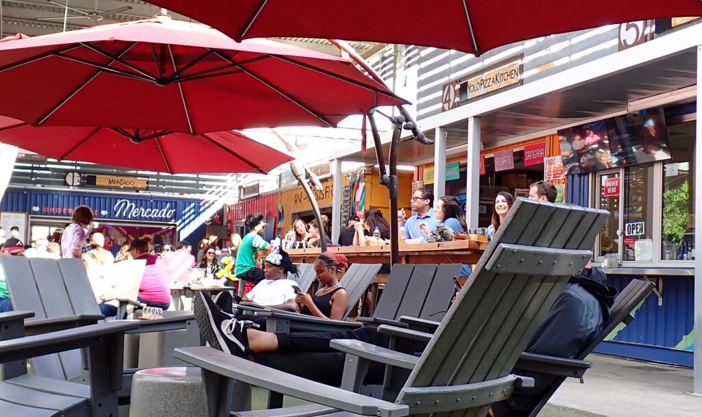
This is Gather GVL (Greenville).  It’s kinda like a food court at a shopping mall but with over 20 places to eat.  The Mexican place has a full bar, there’s Hen Dough (Chicken & Donuts), Lob Father (Lobster Rolls etc.) The Big Rinkowski (Pub food) — you get the idea.  If these buildings look like shipping containers to you – you’re right.  Cleverly placed shipping containers.  And they are busy for sure.  These open seats were all being saved by someone and every couple minutes someone else asked if they could take one or two.

Brandy, Jayson and I had a very nice visit and some good food to go with it.  Downtown Greenville has a lot of other stuff including a creek/river with a waterfall that runs right through the middle.  What do you do with that – build a park around it.  Falls Park

Both retired from the Air Force and enjoying their new, high tech, working from home jobs.  We are very happy for both of you and look forward to seeing you more often.

I had a little electrical problem with the bike yesterday.  It’s acting like the voltage regulator isn’t working.  Lucky me – there is a Harley dealer here in town and they can get me in first thing.  I packed up and headed out.  When I got a block or so away, I decided maybe I should get something to eat.  Well Lookie HERE….

The HOT sign wasn’t on, but as you can see – they were as fresh as a donut gets.  One or two of those and a pint of cold milk was just what the Dr. ordered.  I was optimistic on my way to get the bike worked on and was outside the Service doors 15 minutes before they opened.  They were waiting for me and got the bike right in.  I thought too late that I shoulda brought a couple dozen Krispy Kreme’s with me for the service crew.  For those of you that don’t know – When you are “on the road” and need to get your Harley worked on, the dealerships move your bike to the front of the line.  I’ve taken advantage of this more than once or twice.  In fact, if I had to wait in line – I might be riding something else.

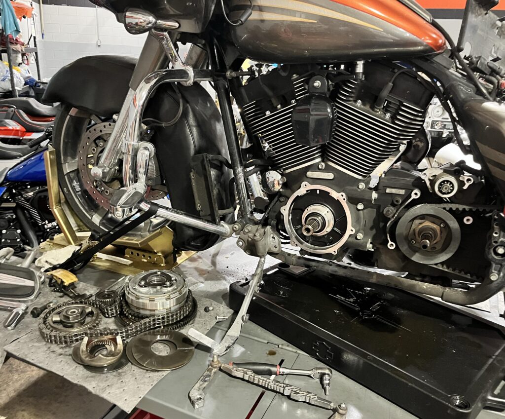
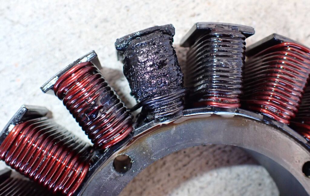
With over 80K miles on her, my bike is starting to wear parts out.  The electrical problem was in fact the voltage regulator but the reason it was ruined is because the stator (alternator in a car) was fried.  In addition, they found that the compensator was worn out, and a few other things.  They replaced about 2/3 of the metal you see lying there on the lift table.  I was very lucky that they had all the parts.  This is what the stator looked like.

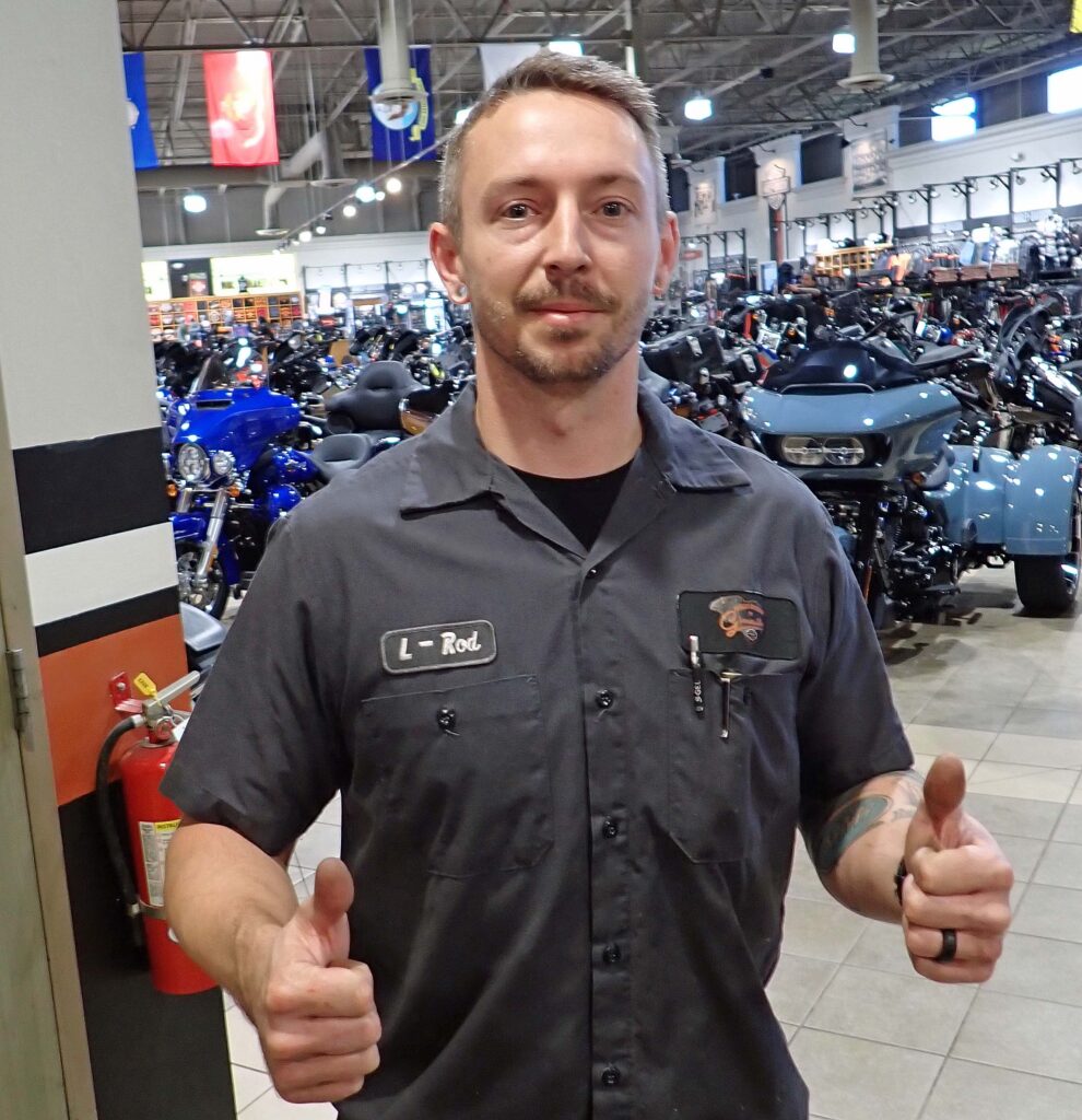
A great big shout out to L-Rod.  This guy is the Scotty Sheffler of the torque wrench!!  He got right on my bike and was happy to discuss the repair and options with me.  I was very impressed – Thanks Again L-Rod, if I’m ever here again, I’ll be asking for you.

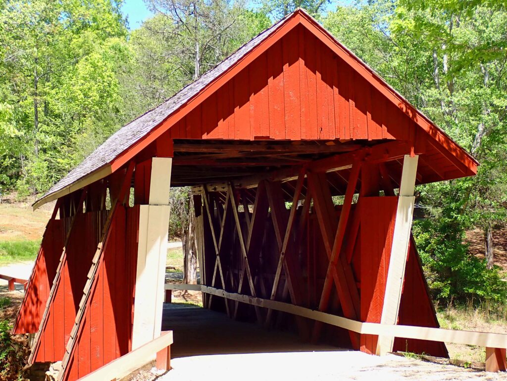
L-Rod got me out of there with enough of the day left to go for a ride.  Everything was working well again and I headed for Campbell’s Covered Bridge.  The road out there is a designated scenic route and I have to agree, best in SC so far.

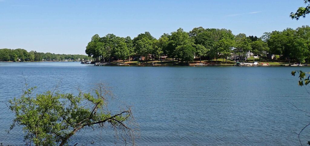
There were nice houses all around this lake.  And, it didn’t look like they were too close together.  (remember you can click on the image to make it full size and zoom in)  I could live on a lake, but I’m very happy living on a ranch instead.

One more day in SC tomorrow as I make my way back to the Atlantic Ocean.  You’ve likely heard it before but I’ll leave you with this quote:  All Who Wander are Not Lost


Day 13 – Carolina Shores, NC

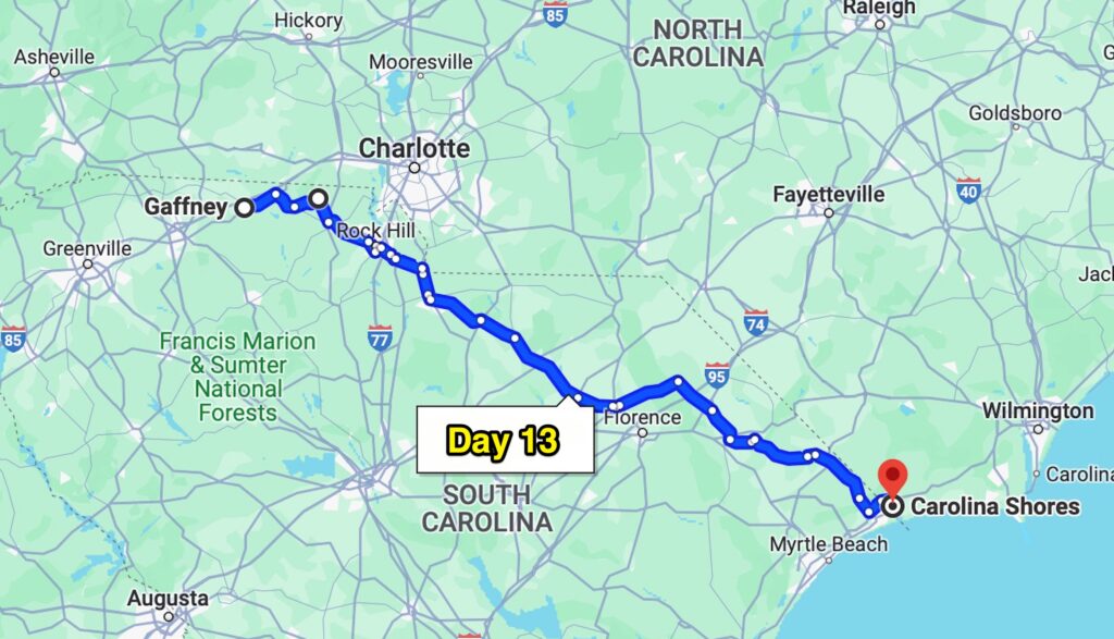
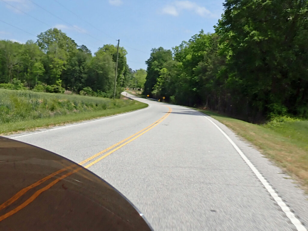
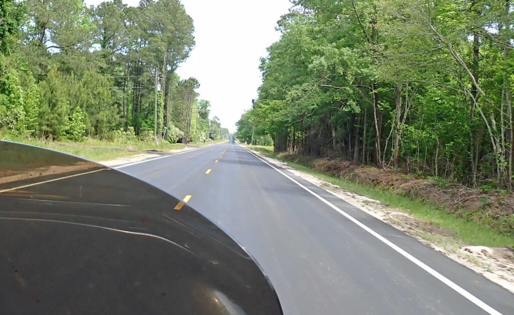
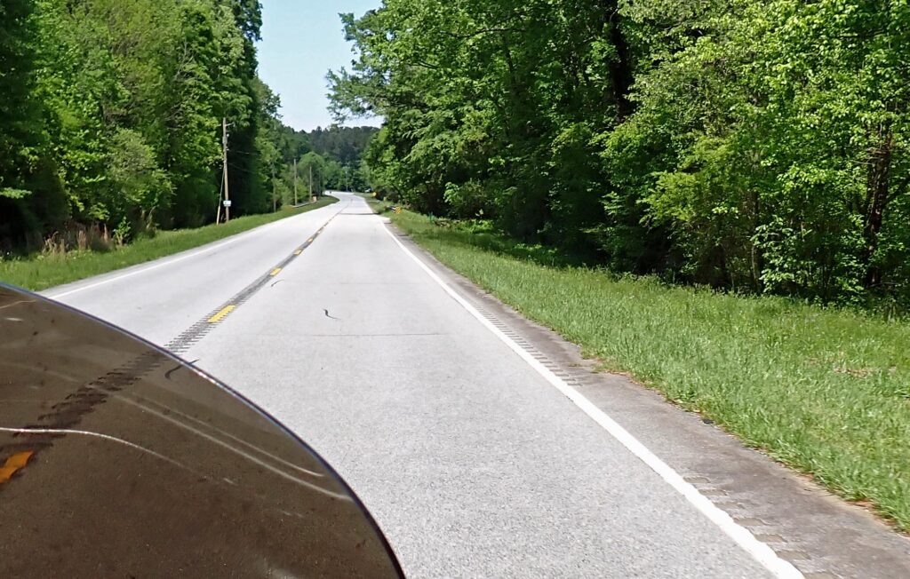
The ride out of the hills in northwestern South Carolina was a fun one – plenty of twists and turns & tree lined roads – no bike repairs required either.   As you get into the flatter land the turns are fewer but the roads are still good. You gotta be getting tired of pictures of the roads so, just this one – or maybe two.

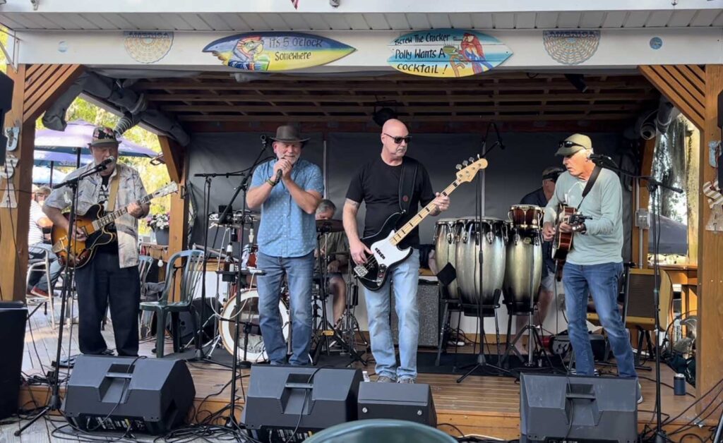
Shelly got a tip on a 80’s Rock & Roll band called Chip and the Old Blocks playing at a local place here in Carolina Shores (just north of Myrtle Beach).  When we got there the place was PACKED and we were not going to get a seat anywhere near the band.  Luckily Chris and Della said we could join them and *poof* we were in the front row!! Many Thanks

The band’s name is appropriate – Chip is the name of the lead guitarist (far left) and all the other members – well, you get my meaning.  But they were really good.

Much tequila was drunk that night, and all the world’s problems solved.  Most of the next day was spent just trying to detox.  Good seafood is an integral part of any detox program and we headed for the Oyster Rock for dinner.  Detox complete, and they had Guinness!!

This couple overheard us talking about motorcycles and just had to come over and say hey.  They are motorcycle riders as well but have switched to a Polaris Slingshot for most of their open air travel these days.  I am very sorry that I forgot your names, it was a pleasure to meet you both.

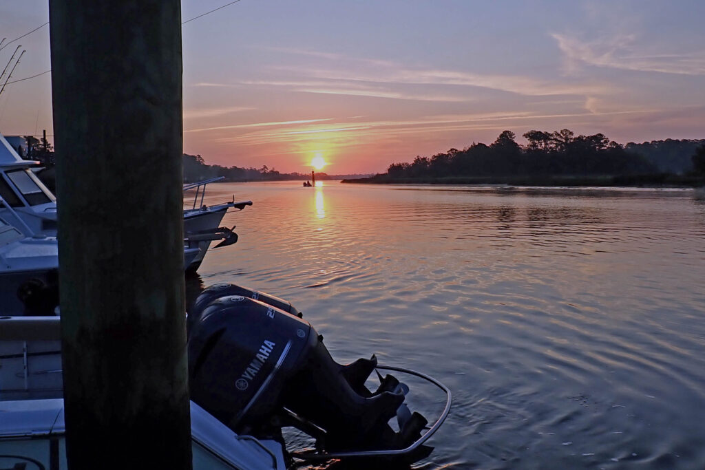
After a good night’s rest it was time to go fishing.  Sunrise on the water and the smell of outboard exhaust – A fantastic way to start the day!!

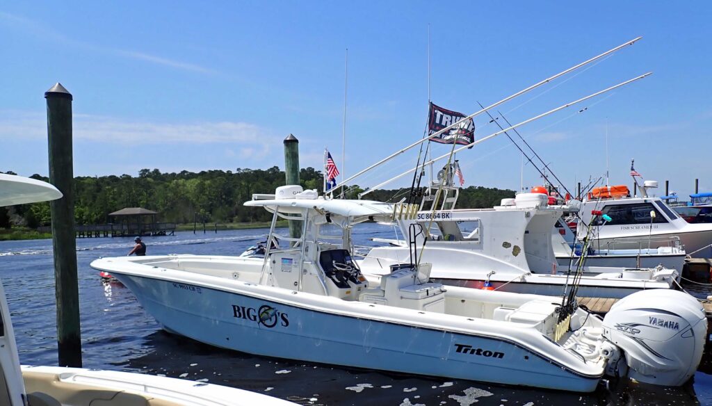
We were going off shore about 10 miles (water depth 50 ft) and this 35 foot long, 10 foot wide boat is just the ticket to handle the water conditions out and back.

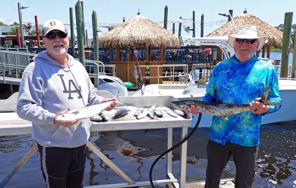
We caught plenty of fish for a half day trip and of course we have a “One that got away” story to tell.  Bottom line is, we had a great time and will likely be semi-regular customers for Big O’s Fishing Charters.

That night for dinner we had Atlantic Bonito sashimi, and grilled Kingfish and Spanish Mackerel.  And as if THAT wasn’t good enough, Phill tossed in a perfectly grilled  tomahawk rib eye.  I waddled away from the dinner table and can’t imagine that I won’t still be full tomorrow!!

Phill and Shelley – Thank you so much for your hospitality.  I always enjoy my visits and I’m already looking forward to the next one.  Back on the road……

Day 14/15 – Newport News, VA

I got an early start out of Carolina Shores this morning but pissed all that time away, and then some, with this little roadside stop.

Never trust your gas gauge below 1/4 of a tank.  I do know that – however…..  Guess it was time for a reminder.  I knew I needed gas and expected this little town to have a gas station, they didn’t – I consulted my GPS and the closest gas station was 8 miles away – CLOSED forever.  I was on my way to the next one when she quit – one shudder then nothing.  The fuel tank in an airplane is inside the wing, and although the airplane will hold 45 gallons of fuel – useable fuel is only 40 gallons.  The last five gallons will take you directly to the crash sight.  On a Harley the fuel pickup is in the back part of the tank.  I was on reserve but as soon as the road changed to downhill – just like the airplane, I was out of useable fuel.  I describe the time, money, etc. lost by things like this Dumb Ass Tax – I pay my share and then some.

I rode right by here on my way to Carolina Shores but stopping at that time just wasn’t in the cards.  The ride to Newport News is an easy two day ride, so I have plenty of extra time for a stop here and there; as long as I can keep gas in the tank!!! How embarrassing

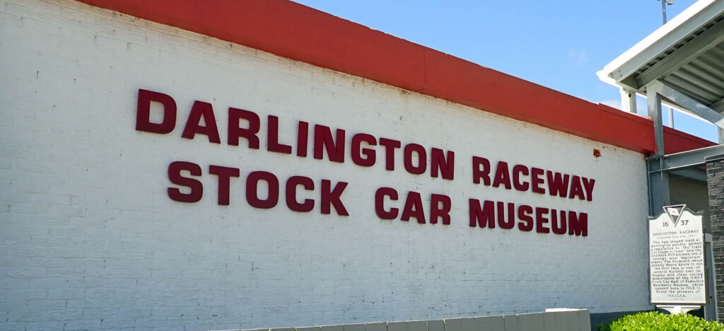
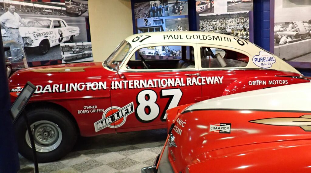
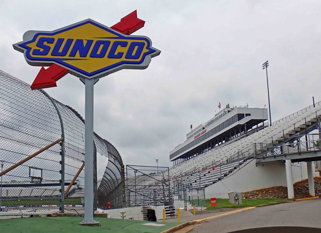
Darlington Raceway hosts two NASCAR races every year and they are getting ready for their next race on Mother’s Day.  NASCAR used to race on Sunday except for Mother’s Day and Easter; on those weeks the race was a Saturday night event.  Now they are racing on both those sacred days – sigh.

AnyWay – Darlington has a couple nicknames; The Track Too Tough to Tame, and The Lady in Black. The track allegedly earned the moniker The Lady in Black because, in the early years of the speedway, the night before the race, track maintenance crews would cover the entire track with fresh asphalt sealant  thus making the racing surface dark black.  The Track Too Tough to Tame is because drivers can run lap after lap without a problem and then bounce off the front straightaway wall the following lap. Racers will frequently explain that they have to race the racetrack, not their competition. Drivers hitting the wall will be missing the paint on the right side of their car earning what they call the “Darlington Stripe”.  After winning the Southern 500 race, interviewers asked Dale Earnhardt about his Darlington Stripe, he said that he actually thought his car handled better with flattened sheet metal on the right side.

NASCAR drivers say that Darlington is the most difficult track that they drive because of its shape.  When it was built back in 1950, there was a piece of land at one end of the track that a farmer refused to sell because it had his minnow pond on it.  SO – they just made that end of the track smaller which ended up making the track egg shaped.  The banking of the turns is also different so it’s impossible to set the car up to handle well all the way around the track.

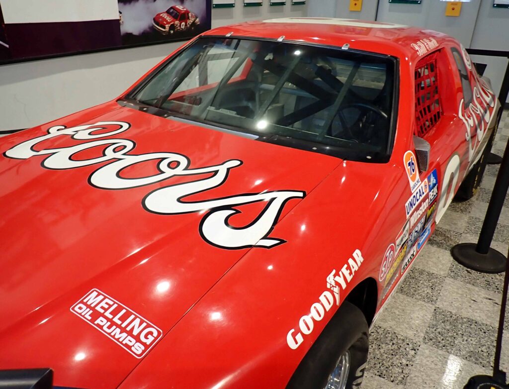
The car that Awesome Bill from Dawssonville won the first Winston Million with in 1985

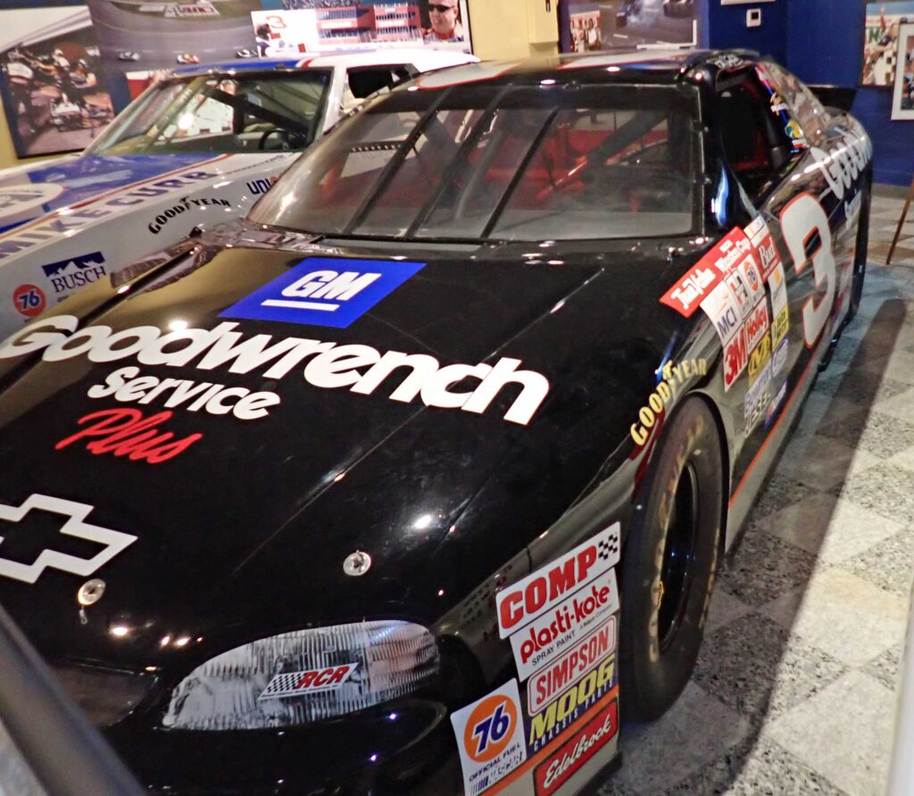
The Intimidator won 9 races at Darlington in 12 years. No rainbow warrior car in the museum

A local writer said this of his much loved Darlington Raceway.  “As treacherous as Mata Hari,” he wrote, a comparison to the infamous German spy whose cover was performing as an exotic dancer, “as desirable as Hollywood’s most beautiful actress — as unpredictable as any woman — these are the virtues of ‘The Lady In Black.’ ”

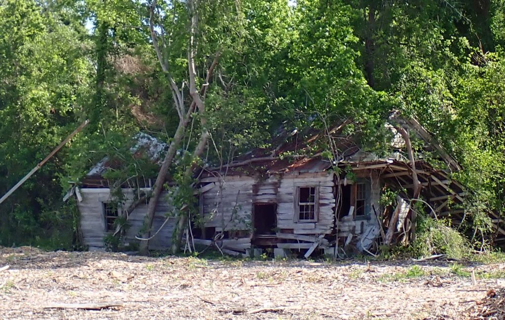
This old house is a little farther along in the reclamation process.  Won’t be long now….

The plan for today was first Darlington then the U.S. Army Airborne & Special Operations Museum here in Fayetteville, NC.  The schedule I look at said M-F but they are now closed on Mondays – SO, Maybe tomorrow before I leave.

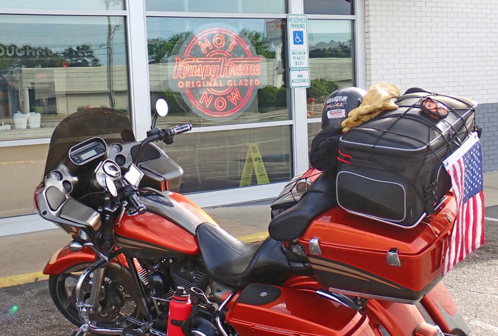
The museum didn’t open until 10:00 so I thought I might get a little something to hold me over until lunch/dinner time.  I packed up the bike and went looking.  Now – I don’t locate these places and go there or anything – it seems like they just miraculously appear.

It’s not a breakfast that’s good for you, but it’s a GOOD breakfast.  Where I live, you’ve got a 40 minute drive if you want to get a good donut, or get my wife to make a batch!!

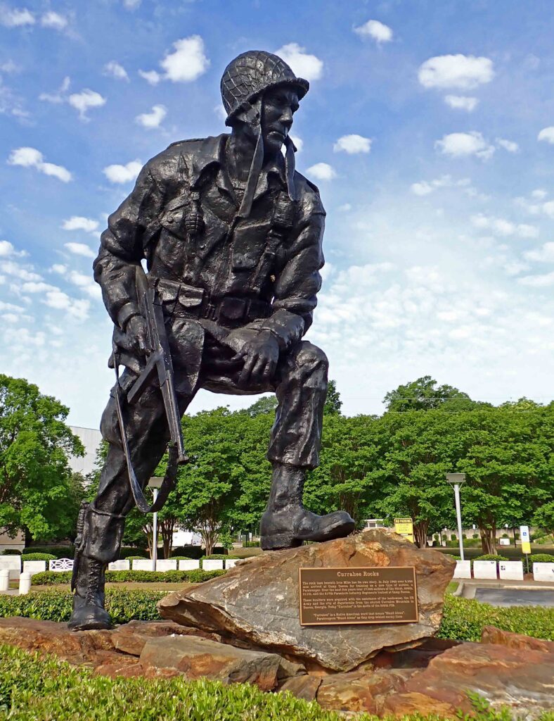
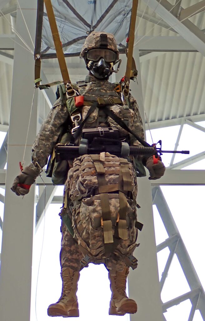
This sculpture is Iron Mike, and the rocks he is standing on came from Camp Toccoa which was where the very first Paratroopers were trained 1942-1944.  Iron Mike stands guard at the entrance to the Army Airborne & Special Operations Museum.  Inside the museum is interesting but I wouldn’t put it on my MUST SEE list.  It’s like watching History Channel with the real exhibits right in front of you.  You’ll be in and out in 1-2 hours.

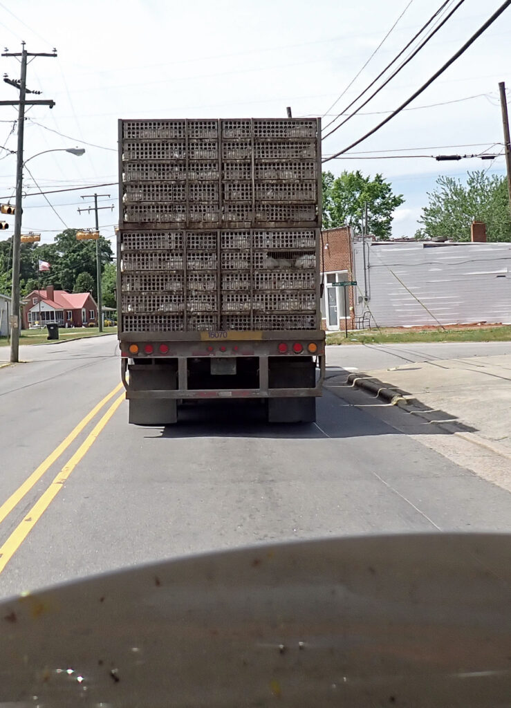
No road pictures for you today just this – I almost pulled off the road when this guy turned in front of me.  I saw it coming and couldn’t believe I was going to be here again.

This is a chicken truck.  I don’t know for sure where they are being hauled to but it’s likely to be “processed”.  I will tell you this – the odor will make you gag.  It will burn itself into your nose hairs and you’re gonna be smelling it all day.  I stayed just long enough to get this picture so I could share with you.  I know you appreciate my sacrifice.

I could have done a better job picking the roads to Newport News.  They were side roads for the most part but very few turns and pretty high speed – good highway alternatives let’s say.  I gotta work on that – hopefully I can find some good back-roads on my way out.  I’ll be here for a few days before heading back to the west on a northerly route.

Day 16 – Martinsville, VA

I would like to thank Don & Judy and Kimberly for their hospitality and most of all for their friendship.  We have been friends for over 45 years – appreciate you all.

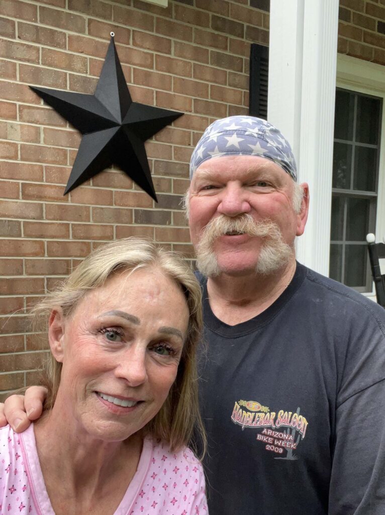
Kim wanted to have her newly mounted Texas star in the background of this picture.  She’s a Texas girl but has been living in this area for over 20 years.  I guess you can take the girl outta Texas but you can’t take Texas outta the girl.

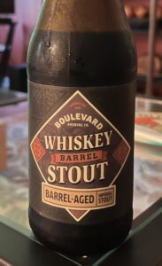
Step back Dragon’s Milk, this is my new favorite whiskey barrel stout.  Kim found this at Total Wine.  It’s almost as good as Goose Island and 1/6 the price.  Go easy though, it’s over 11% alcohol.  It’ll gitcha.

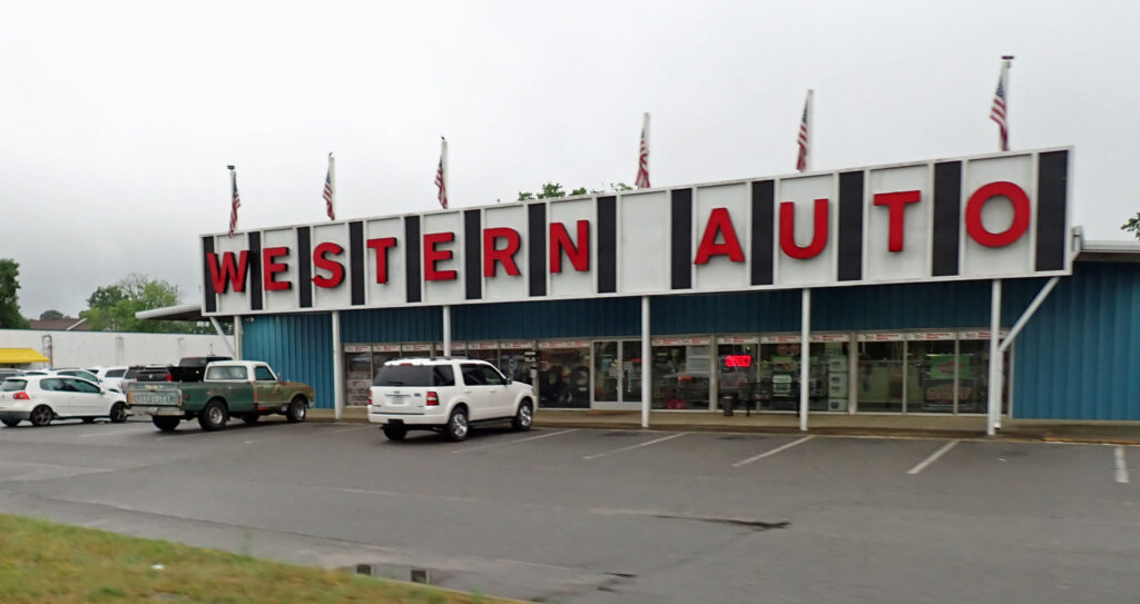
When I heard that there was still a Western Auto here, I had to go see.  Turns out, this is just another auto repair shop, not a remnant of the past.  If you were wondering, Western Auto got acquired by Sears in the 80s.  Sears sold it to Advance Auto Parts around 2000 and they got converted to Advance Auto Parts stores or shut down, and that was the end of the brand.  I have fond memories of the time I spent wandering up and down the aisles of the Willcox Western Auto coveting their bicycles and tools.

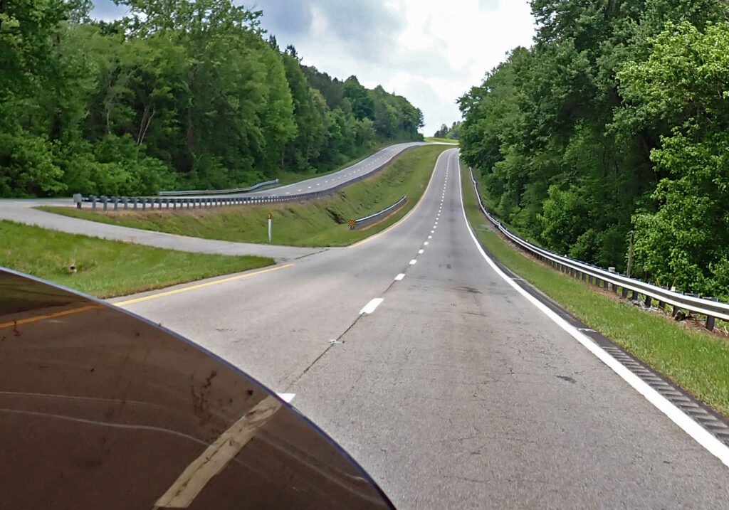
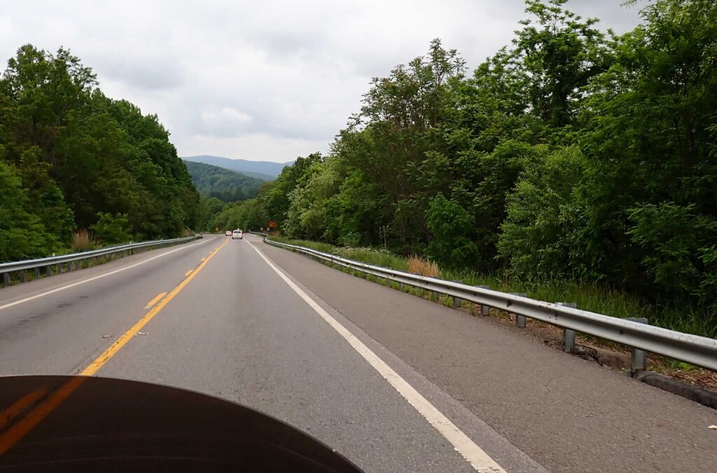
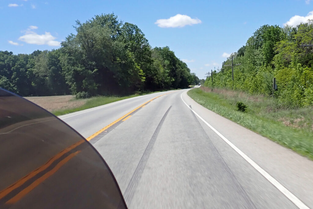
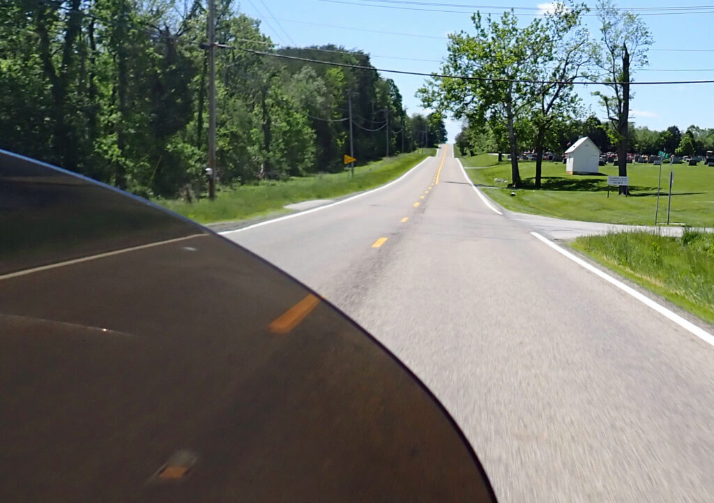
The farther west I got this morning, the better the roads got.  Up and down with sweeping turns, 60 mph speed limits, 70+ was just fine, and little to no traffic.  Wonderful —

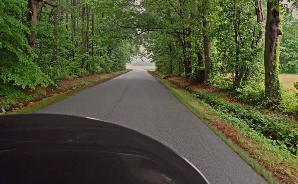
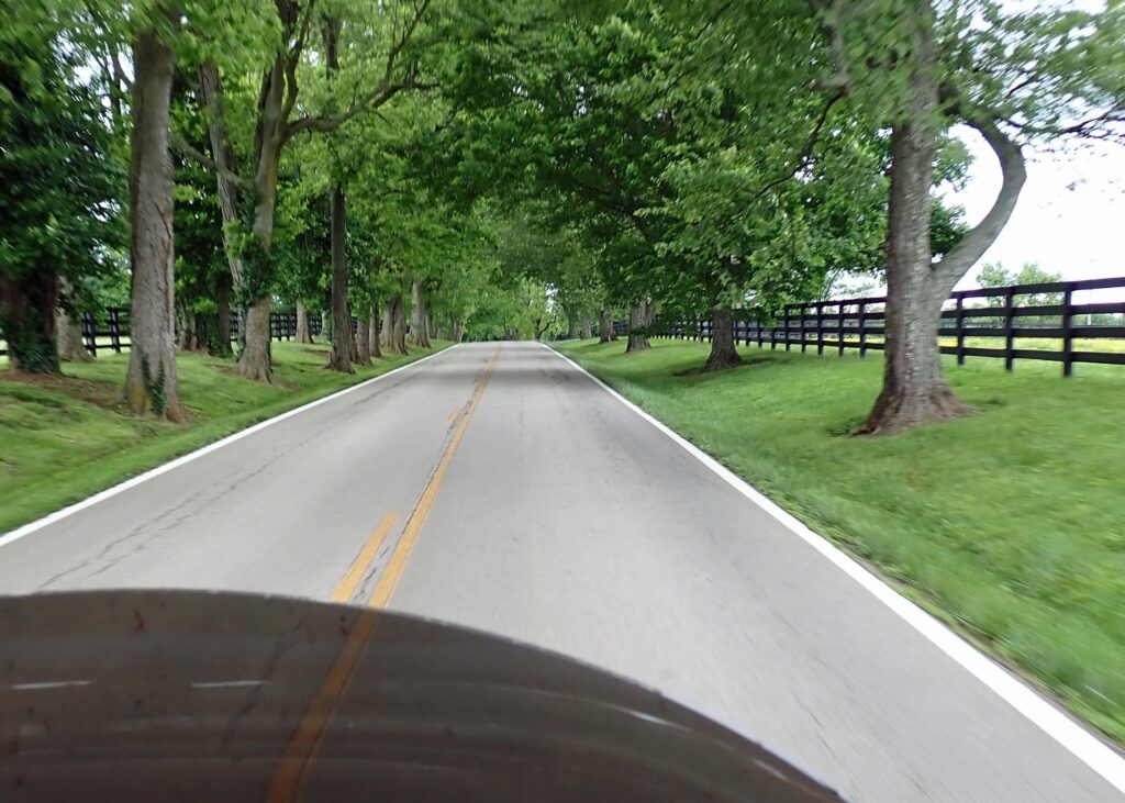
But THIS is kinda road I really enjoy riding; no shoulder, no centerline, almost no room for two cars to pass.  This isn’t performance riding – It’s just an enjoyable ride through the truly rural areas.  You can’t make time on these roads but it refills your soul.

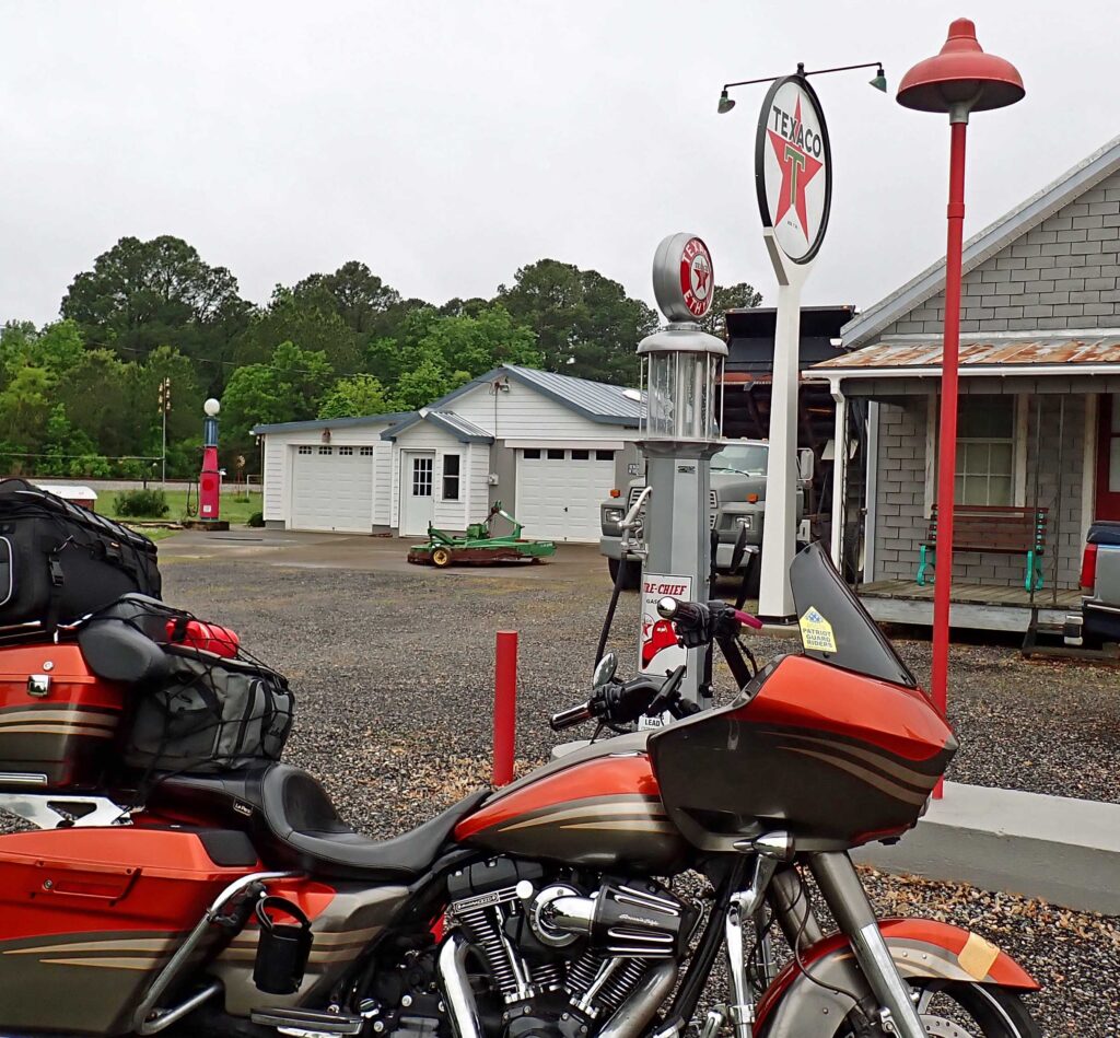
Speaking of refills, how about this guy’s retro gas station?  The pump is a reproduction of a 1930’s visible handcrank gas pump.  You would hand pump the gas up from the big buried tank into the glass container on top.  Then, your fuel was gravity fed into your vehicle’s tank.  The gas pump you see over the back seat of my bike is the real deal.  The gentleman that owns all this came over and we talked for 10 minutes or so.  He has a few older cars that he displays with his retro gas station on the weekends & has been featured in a few car magazines.  With rain in today’s forecast everything’s put away.

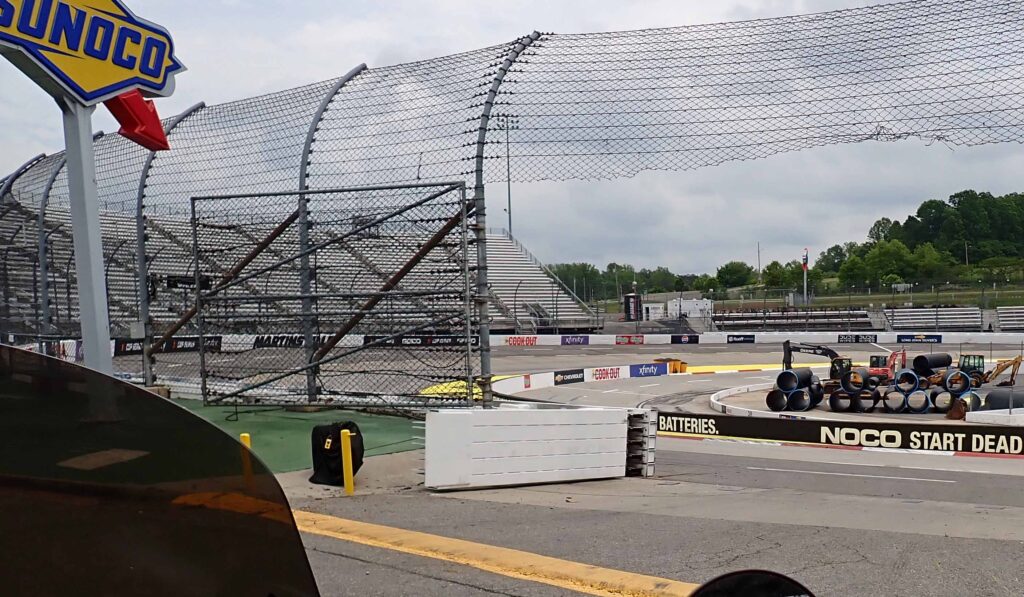
Martinsville Speedway – I could not believe how close I got to this racetrack.  That’s the entrance just to the right.  There were workers down there somewhere but it looked like it was lunch time or something – nobody around.  In my younger days, I would have seriously considered dashing out there doing a lap then getting the hell out.

Martinsville Speedway is know as the paperclip because that’s what it looks like.  Total length is .526 of a mile.  Drivers say it’s two drag strips and two hairpin turns.  You’re closer to the action here than any other race track, but I’ve found watching a short track race on TV is difficult because there are so many cars all over the track that it’s difficult to follow.  The back cars are lapped after 6 or 8 laps then everything is a blur.  But taking a lap on my motorcycle would have been top ten for sure.

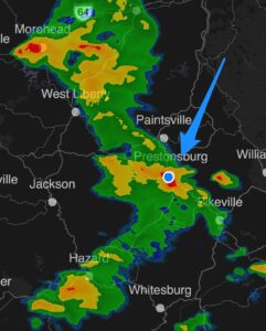
I was on the road early this morning, looking for brighter skies and pointing the nose of my bike in that direction.  I got a little wet here and there along the way and more than a little wet in Danville.  I was just getting dried out from my drenching when I got to Martinsville.  After I got the pictures, I was enjoying my westbound travel riding through the foothills of the Blue Ridge Mountains.  I had an eye on the sky and didn’t like what I was looking at. (sorry for that one Shirley).  I took a look at my weather radar app and saw a line of red crossing my route less than a mile ahead.

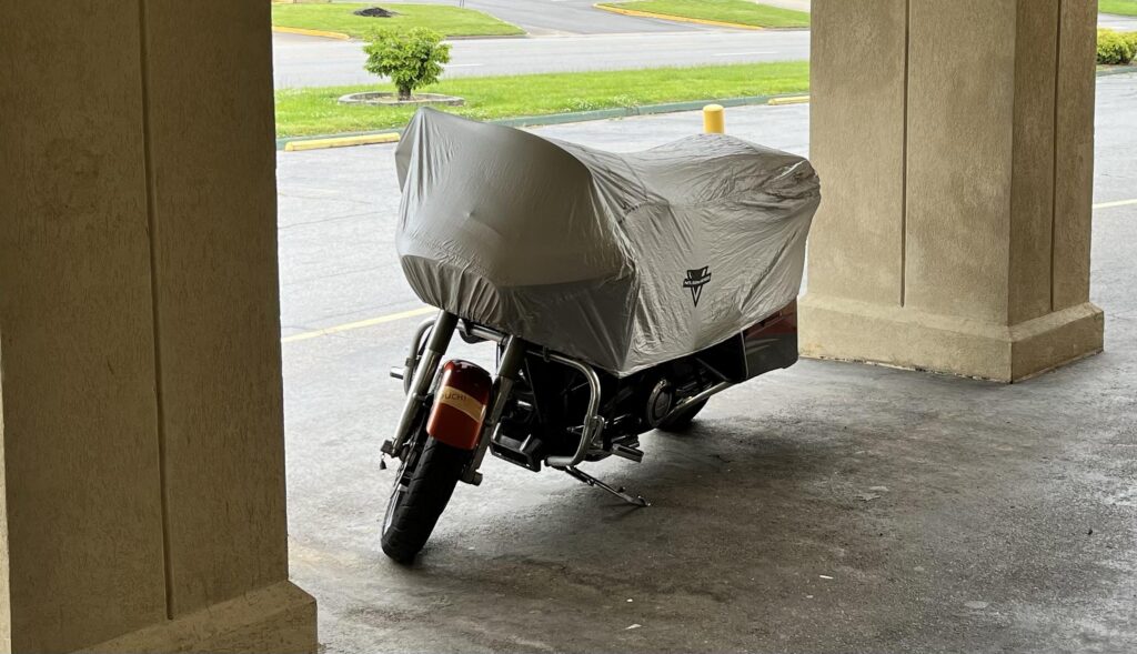
Pretty sure I can count on one finger how many times I’ve turned around and gone back where I came from – but that was about the only option this time.  I even followed a bunch of cars that were getting out of the mountains as well.  Safe and sound under covered parking – kinda sorta.

I’ll be getting out early again tomorrow – heading toward Lexington, KY but expecting to have to hole up somewhere to stay out of what’s predicted to be severe weather.

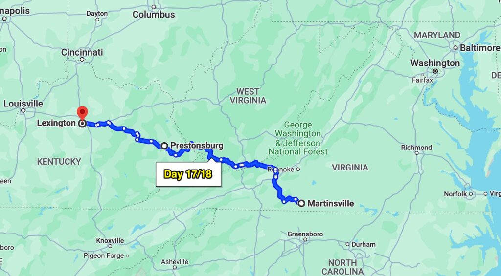
Day 17/18 – Lexington, KY

I got out of Martinsville just before 7:00 and watched my weather radar app and the skies all the way.  As for the severe weather, it wasn’t as bad as the Weather Channel said it might be and I was all checked in at my hotel before it reared its ugly head.

It seems like more often than not in these scenarios I end up getting really wet.  This time I didn’t get wet at all – maybe I’m getting smarter as I get older – more likely I just got lucky this time.  The next day I made it to Lexington before the rain came so I’m pretty confident at this point – hubris you say???

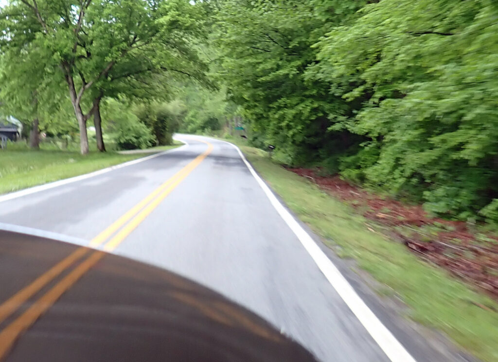
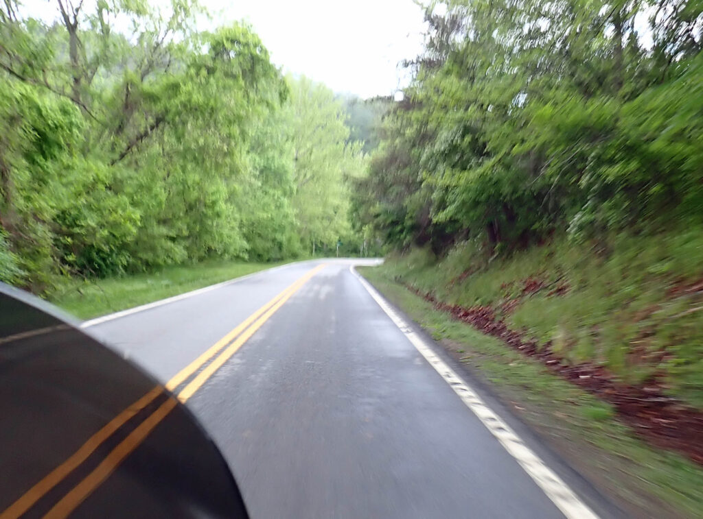
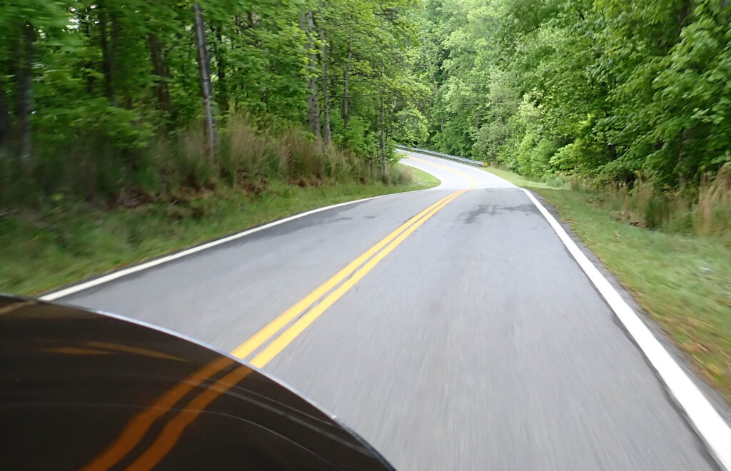
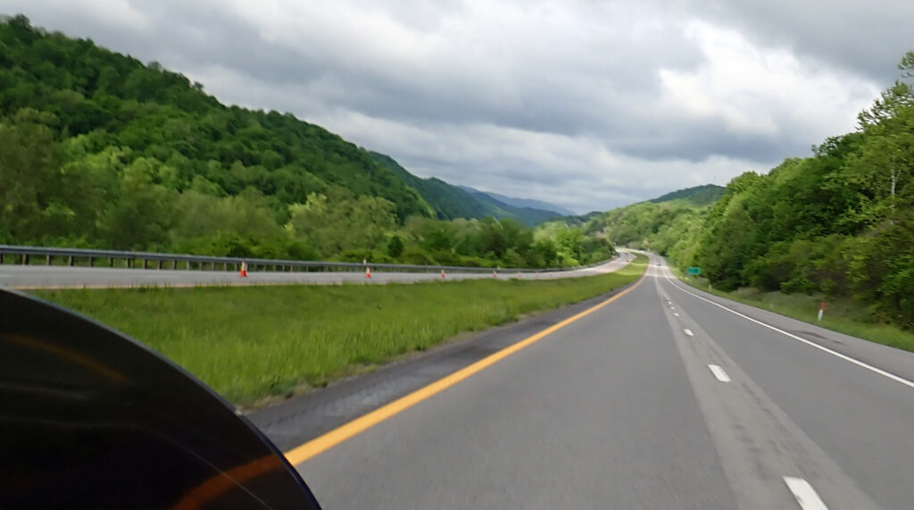
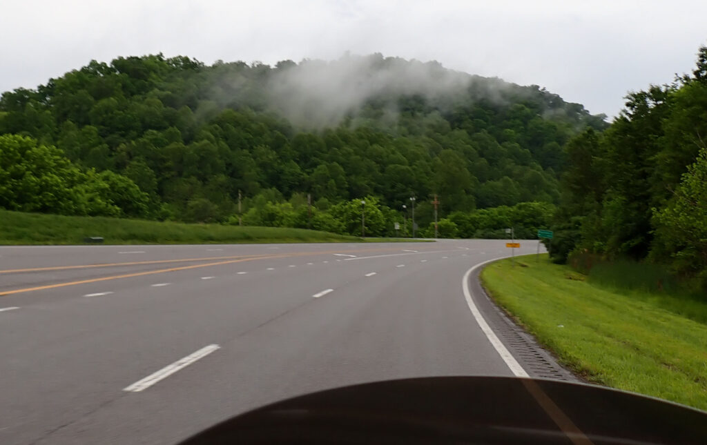
Today was a great bike ride day.  Cool but plenty warm enough with just a jacket.  Very little sunshine to burn my delicate Irish complexion.  And really good motorcycle roads.  These pictures are a little blurry but I was enjoying my ride and didn’t want to slow down to improve the image.

No part of the day was a disappointment,a just a whole lotta fun.

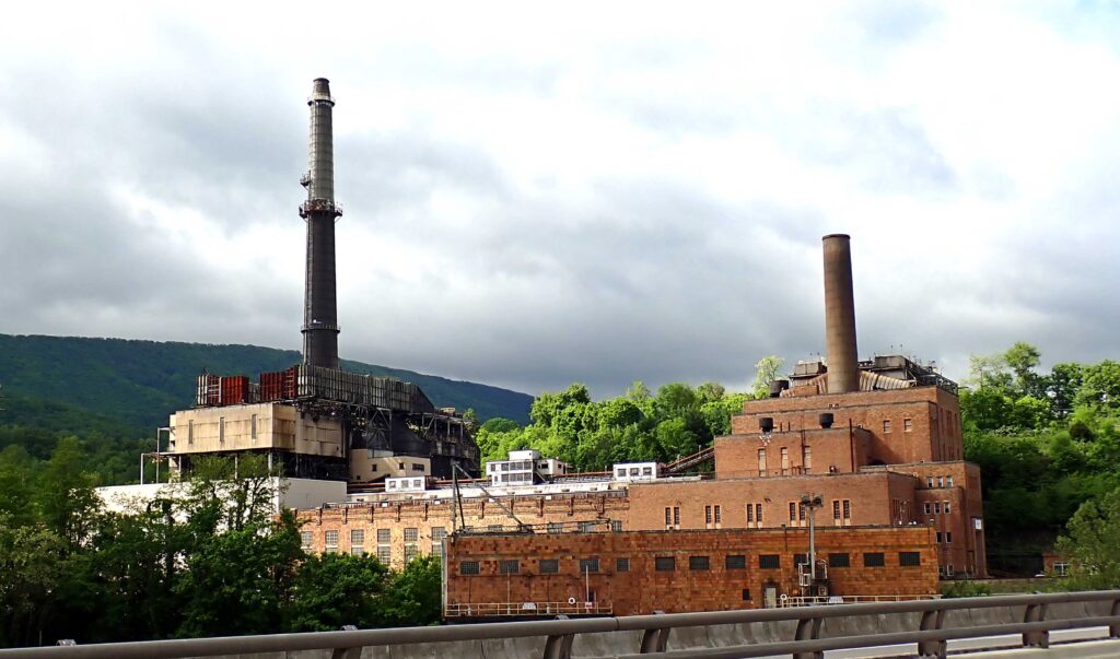
This appears to be an abandoned coal fired electric plant somewhere near the Virginia/West Virginia border.  I told myself that I’d remember the name of the river so I could look up all the info – but I didn’t.  So, all you get is the picture.

This is coal country make no mistake about it.  I’m smack dab in the middle of the  Appalachian coal region.  Prestonsburg, KY (the end of day 17) is only five miles from Butcher Holler, the famous home of the coal miners daughter, Loretta Lynn & her sister Crystal Gale.  But using coal to fire burners to make the steam that turns the turbines at electrical plants is fast becoming a part of history.  Too much greenhouse gas (EPA), electric plants reaching the end of their life expectancy, and cheaper ways to produce renewable energy are all contributing factors.  You can really go down the rabbit hole on this – but take it from someone that’s been there – don’t do it.

But just because we won’t be needing much “steam” coal, we will still need coal to make steel.  And – there is the rest of the world that doesn’t give two shits about greenhouse gasses, they’ll be running their coal fired electric plants at full blast – they’ll need coal.

Did you know – Arizona has a coal mine (up on the REZ) and operates six coal fired electric plants around the state?  I had no idea.  Had enough?  Me too……

Toward the end of the day I was going 65+ on a road with a 55 speed limit.  The road had plenty of 45 mph turns and I was passing everyone but could not shake this UPS truck.  I wasn’t on the ragged edge of control or anything but I wouldn’t want to be going too much faster in these turns & this damn UPS truck was right on my tail;  he must be going around these turns on two wheels!!  I could speed up and lose him in the straight away but he always wound up right behind me again.  It reminded me of that 1971 Dennis Weaver movie – Duel where he is chased by a tanker truck.  I was tiring of this little dance and let him pass.  When he looked over at me I half expected to see Ron Bly’s evil twin.  He turned left at the next light – and I took it easy the last 15 miles.  It was a wonderful day!!

It’s a short run from Prestonsburg to Lexington so my late start, due to some leftover rain going through, was not a problem.  As soon as I was out on the road I was riding through the Middle Creek National Battlefield. On January 10th, 1862, James A. Garfield, an obscure Ohio preparatory school principal and teacher and newly-minted colonel of a regiment of Ohio volunteers, launched an attack on a brigade of Confederate soldiers holding a position on the ridges overlooking the Forks of Middle Creek.  Prior to the Union winning at Middle Creek, the commonwealth of Kentucky had gone back and forth from Confederate to Union control.  Being the home state of President Lincoln, he wanted to make sure the confederates never got it back, and after the battle at Middle Creek, they never did.  James A. Garfield went on to be the 20th president of the United States.  Garfield was assassinated 18 months after taking office by a mentaly challenged man because Garfield would not appoint him to a European Consulship.

As I rode through the battlefield I wondered what it might have looked like on that day, and imagined that the low level clouds might have been smoke from cannon fire.

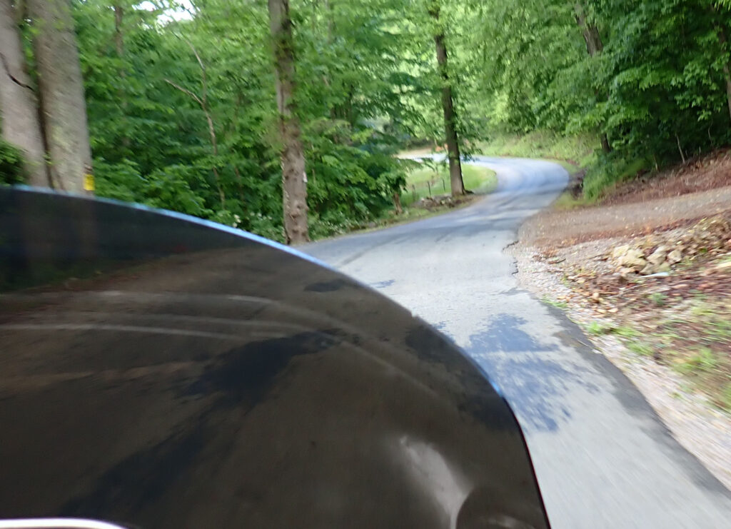
My GPS put me on another one of these roads today; way too narrow in most places for two cars to pass.  It got somewhat wider after a few miles.

It was a very interesting road through some very rural country.  A couple times I imagined that this area might actually be worthy of the Holler moniker used round these parts.

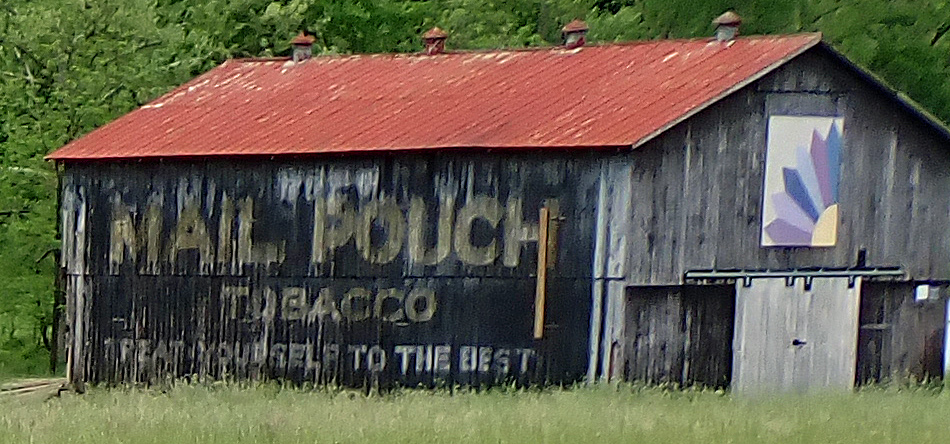
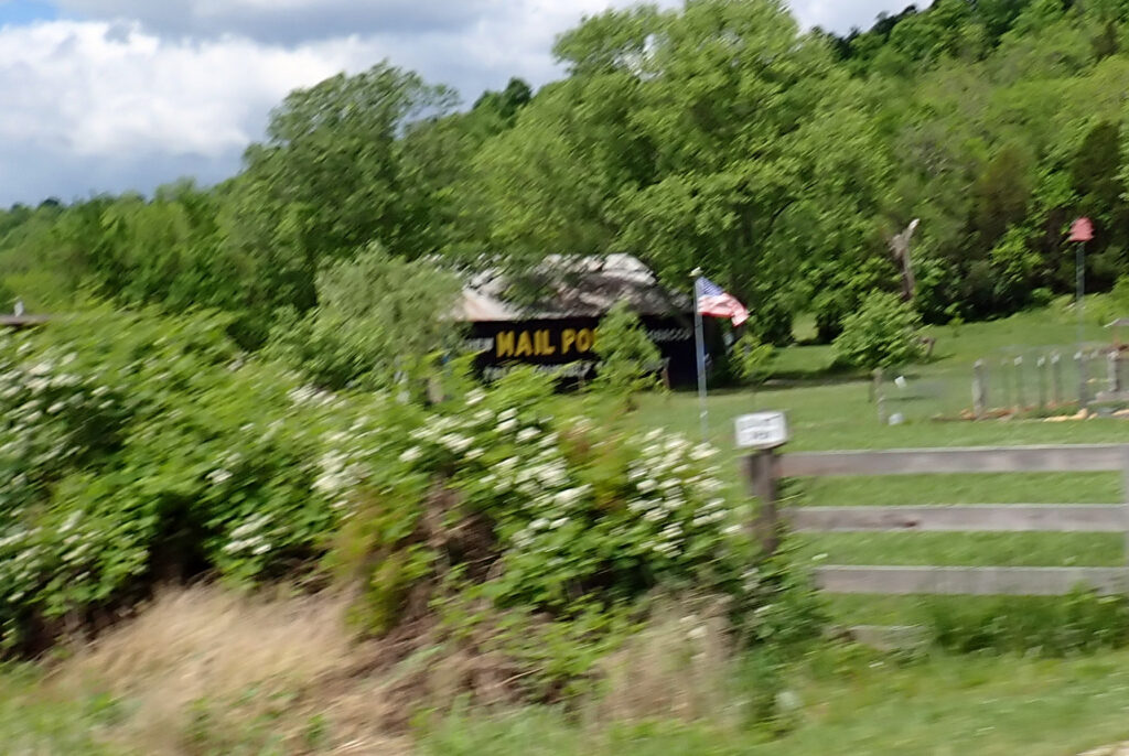
Mail Pouch Tobacco barn signs were part of an advertisement campaign that started in the early 1890s for the Bloch Brothers Tobacco Company, based in West Virgina.  Over 20,000 Mail Pouch Tobacco signs adorn barns in 22 states across the US (that’s A LOT). These eye-catching pseudo-billboards were painted initially by six men hired to travel the country and paint as many signs as possible.
The barn walls were typically hand-painted with a black or red background and white or yellow capital lettering reading “Chew Mail Pouch Tobacco–Treat Yourself to the Best.”

Barn owners would often be paid a leasing fee, and some received free chewing tobacco as well. Many valued the fresh coat of durable paint for their exposed exteriors.  In some cases, the company would even repaint the barns every few years, preserving the image and the barn’s exterior.  I saw this one on that same narrow holler road.  Another good day on the motorcycle.  Next stop Cincinnati, OH.

Day 19 – Cincinnati, OH

First things first – Happy Mothers Day

Before I pull out of Lexington I’d like to thank my aunt Kathleen and her husband Marty.  They are always as happy to have me as I am to visit.  Family is the most important thing and I am blessed to have such great people in mine.

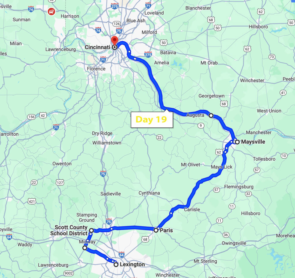
The direct route from Lexington to Cincinnati is straight north.  Not much chance I was going that way, so this morning Marty and I discussed alternates.  The road I want to check out is westbound and Marty’s suggestion actually goes northeast.  I decided that I had time to go both ways (uh, easy now).  Here is what that looked like.

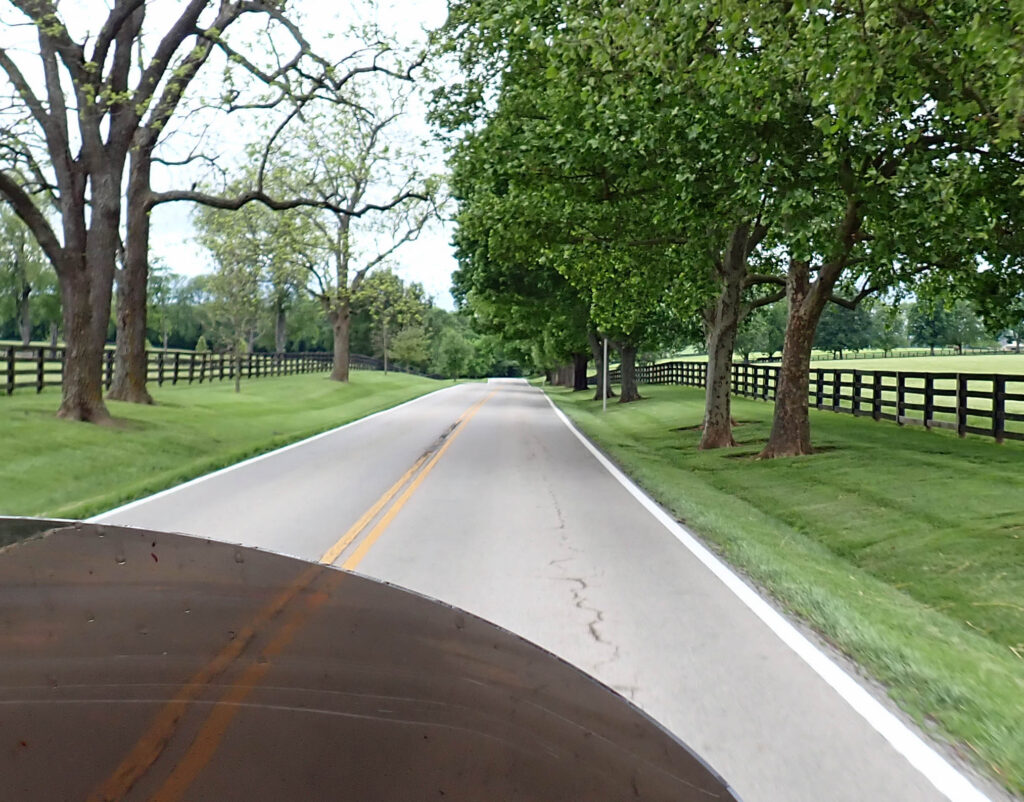
The westbound road out of Lexington is the Old Frankfort Pike and Scenic Byway.  This road is going on my mandatory list.  If you’re in the area – take the time even if you only go out and come back on the same road; and in autumn you’ll get the fall colors as well.
This is horse country (BIG TIME) and I smiled when these five horses decided it would be fun to run along side for a couple hundred yards.

The Frankfort Pike goes on, up and down – right and left, and the scenery never stops.  What an awesome way to start the morning.  Time to check out Marty’s suggestion.

The northeasterly route was a much faster road with slightly different scenery and a much better way to go than any interstate.  Thanks Marty.

Many towns have small rivers running through them.  Most have a wier dam like this to help control the flow of the water.  This one has a piece of a tree waving back at you.

When I see things like these rusting silo towers, I wonder why someone doesn’t take them down for scrap steel if nothing else.  I guess by the time you pay to have it dismanteled – there’s no value in it…..
I crossed the Ohio River at Maysville, KY.  I followed the river as closely as I could all the way to Cincinnati and found that I was on the Ohio River Scenic Byway; a road that’s 943 miles long and goes through Indiana and Illinois as well.  My portion was 60 miles.  Small towns, lots of campgrounds, and good views of the river.

There are lots of barns in this part of the country and I was checking every one I saw for Mail Pouch tobacco advertisement.  I figured if they painted over 22,000 I should be able to find another one – right?  I’d almost given up, then on the banks of the Ohio River I saw one – then several miles down the road, Another One!!
Being from the west, all this green is kinda foreign to me.  Every inch of ground is growing something green.  More grass to mow for sure, most folks have riding mowers for that task.  Many folks were out on their mowers today and most took the time to wave at a passing motorcycle rider.  I didn’t see more than a handful of bikes on the road today.

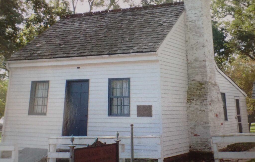
I needed to stretch my legs and saw a sign for US Grant’s birthplace, perfect.

It was originally a one room house.  What you see behind the chimney was added for the museum.

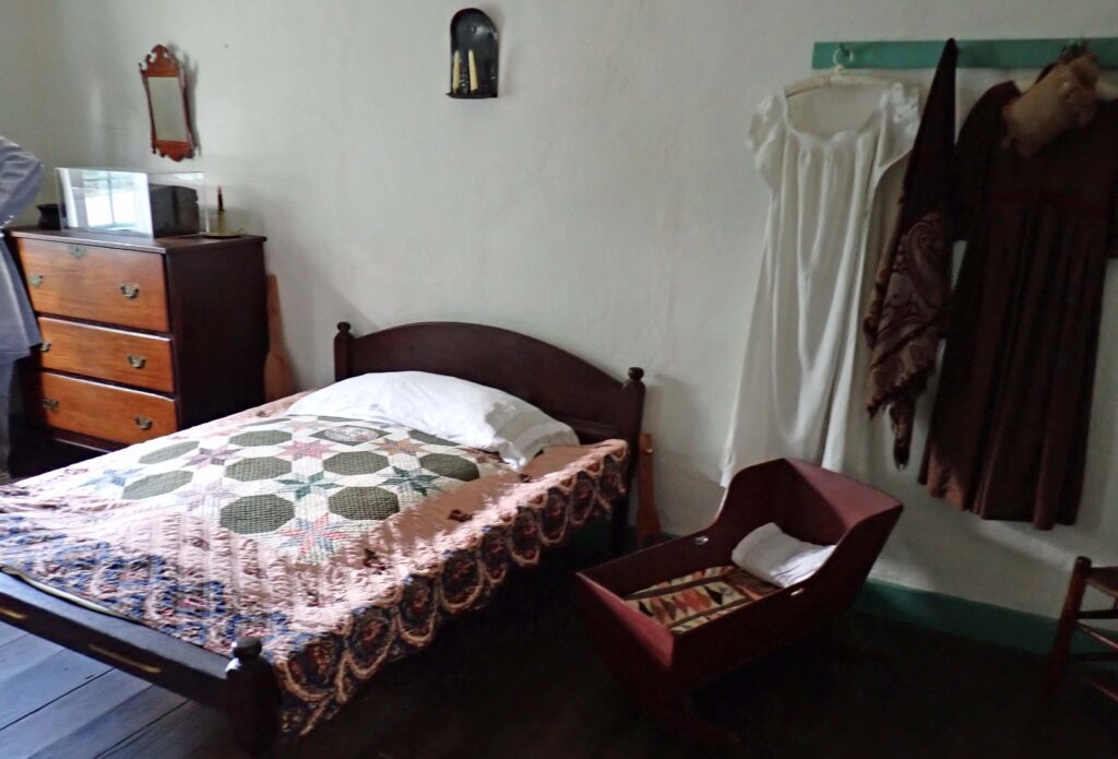
This shows about a third of the one room.  Those folks came from sturdier stock for sure.

Did you know – After Grant’s death this house became a traveling memorial to the former president and Civil War hero.  Later it was taken apart and rebuilt on its original foundation.  Also – Grant was known as Unconditional Surrender Grant in the Civil War.

When was the last time you saw one of these?  I thought they were out of business decades ago.  I did some research and they are really struggling for a whole lotta reasons.  I opted for the Asian Buffet – I’m sure that was much healthier……


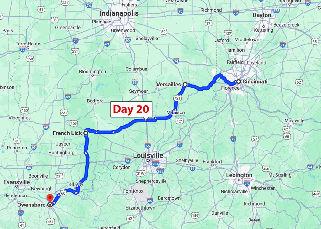
Day 20 – Owensboro, KY

Leaving Cincinnati after having breakfast with my nephew.  It’s been at least ten years since I’ve seen him so it was nice to get together for a visit and breakfast.  Take Care Kyle.

I left Cincinnati the same way I came in, on the Ohio River Scenic Byway – before I knew it I was in Indiana.  I saw several electric power plants and wondered just how many power plants are on the Ohio River.  I didn’t find that out but there are over 25 coal fired plants on the Ohio.  The rabbit hole I was down earlier basically said that the plan to end the greenhouse gasses is going to close virtually all the coal fired plants.  Problem there is that there aren’t any other plants coming on line to replace the energy that goes into the grid from the coal fired plants.  Guess we’ll see how that works out…..

Not quite the Old Frankfort Pike Historic and Scenic Byway, but still good riding.  See how many phone poles are along the side of the road?  Most of them have the old glass insulators on them.

Back in the day, since the railroad already cleared a path through the countryside, that’s where the telephone and electric lines were run.  I’m sure they paid the railroad something for the privilege.  There were SO MANY of these missing most of their insulators – I’m sure you could walk around and find tons of them lying on the ground.  If you really wanted some, all you would need is a ladder.  I looked around for a couple minutes after I got this picture but didn’t find any.

I was looking for a place to see on the way to Owensboro and heard that French Lick was a place lots of people think is cool – so I set a course.  On the way, I went through Versailles, Indiana.  Now, Versailles is a city in France pronounced (Ver-sigh) but the city with the same in Kentucky is pronounced (Ver-sales).  After getting gas I went into the mini-mart and asked if they say Ver-sigh or Ver-sales.  I got a disgusted look from the cashier and I think if she could have spit on the floor she would have.  “Ver-sales” she said, “Ver-sigh is somewhere over the pond” – and rolled her eyes.

I wonder if the French settlers that came to this area named a few communities then forgot to tell folks how to pronounce it, or maybe they just got tired of explaining why it isn’t spelled correctly and went with the Ver-sales crowd thinking – (read this with a bad French accent) Stupid Americans.  Regardless, if you ever find yourself in Versailles, KY, IN, MO or OH it’s Ver-sales.

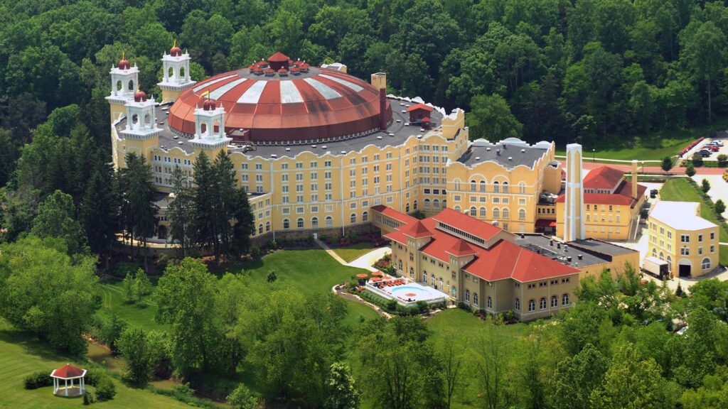
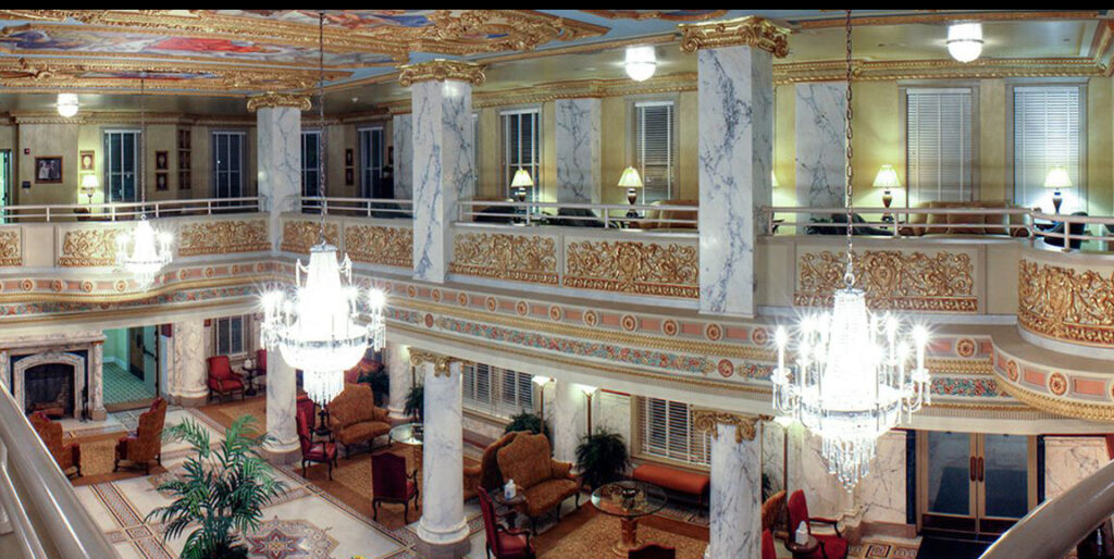
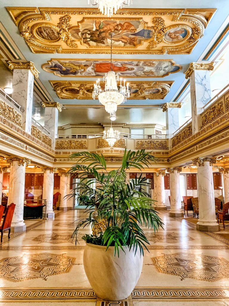
That’s your French appetizer, on to French Lick, IN.  French Lick was originally a French trading post built near a spring and salt lick.  These days I would sum up French Lick as a very small Las Vegas experience – in a French motif (see what I did there??)

You get the idea.  There are 4 golf courses that look like the real deal, and gaming like Vegas as well.  Another thing similar to Vegas is that outside of the resort – you are quickly snapped back to reality.  I think French Lick is mostly a “locals” destination.

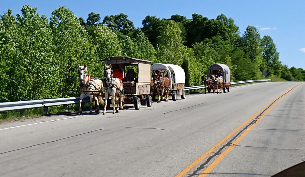
This was out in the middle of nowhere (far as I could tell).  Must be something behind the trees and these guys were taking their horses and wagons home until next weekend.

This was a good day on the road.  Not a chance of rain anywhere but it was kinda windy.  Small price to pay for being cool and dry…….

C8 Corvette Drive

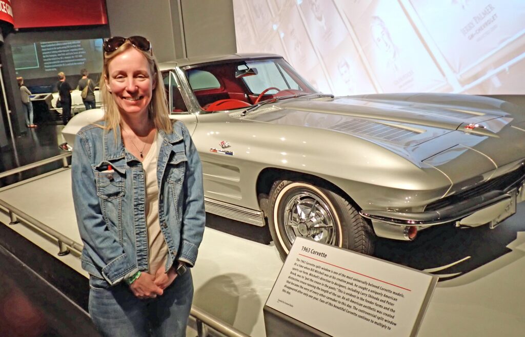
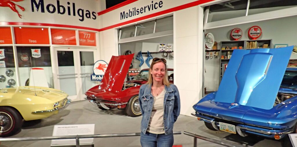
Two years ago I was riding through Bowling Green and saw a billboard advertising the National Corvette Museum.  It was time for a leg stretcher so I stopped in.  You might have heard about the sink hole back in 2014 that swallowed up 8 museum corvettes – well, that was here in Bowling Green, KY; which by the way, is also where Corvettes are made.  We took a quick tour of the Corvette Museum before getting to the main attraction.

My niece Heather’s dad used to own one of these – in the non-split window version.

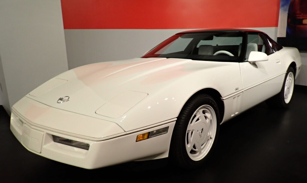
I actually owned a Corvette, 36 years ago.  It was a 1988 35th anniversary edition (it was actually my wife’s car).  Only 2,050 were made and all of them looked exactly like this one.

This particular car is all original, except for the battery, and only has 380 miles on it.  With a measly 245hp it was a bit of a disappointment in the performance department; but it still handled really well and was fun to drive.

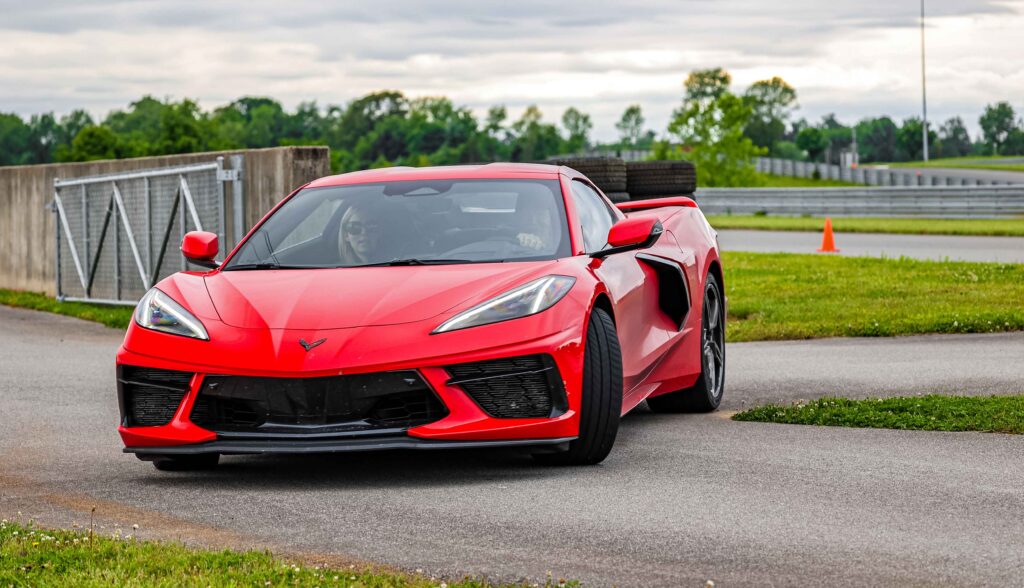
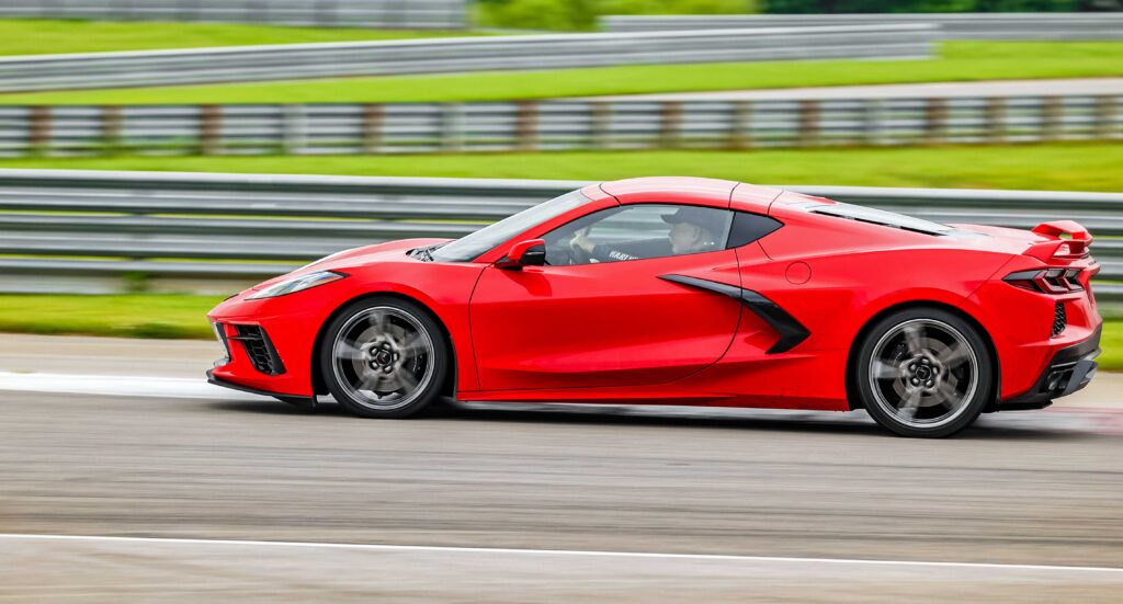
Speaking of driving – Two years ago I discovered The Corvette Experience.  There is a race track right next to the museum and for a small fee, you get to drive a new Corvette around the track.  What a BLAST that was!!  So much in fact, that I’m doing it again.

Heather lives about an hour north of here in Owensboro and rode with me the first time around; she’s almost as happy to be doing this again as I am.

If you’re in Bowling Green,KY – add this to your list.

You have to follow a professional driver which is good because they show you the fastest lines to take around the track.  You can go 35mph the whole way around if you like, but if you’re keeping up with the lead car, he will keep going faster.  This time around I think my max speed was close to 120 but mastering the turns is where the fun is.  Truly Amazing!!!

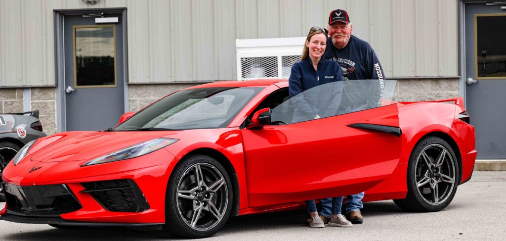
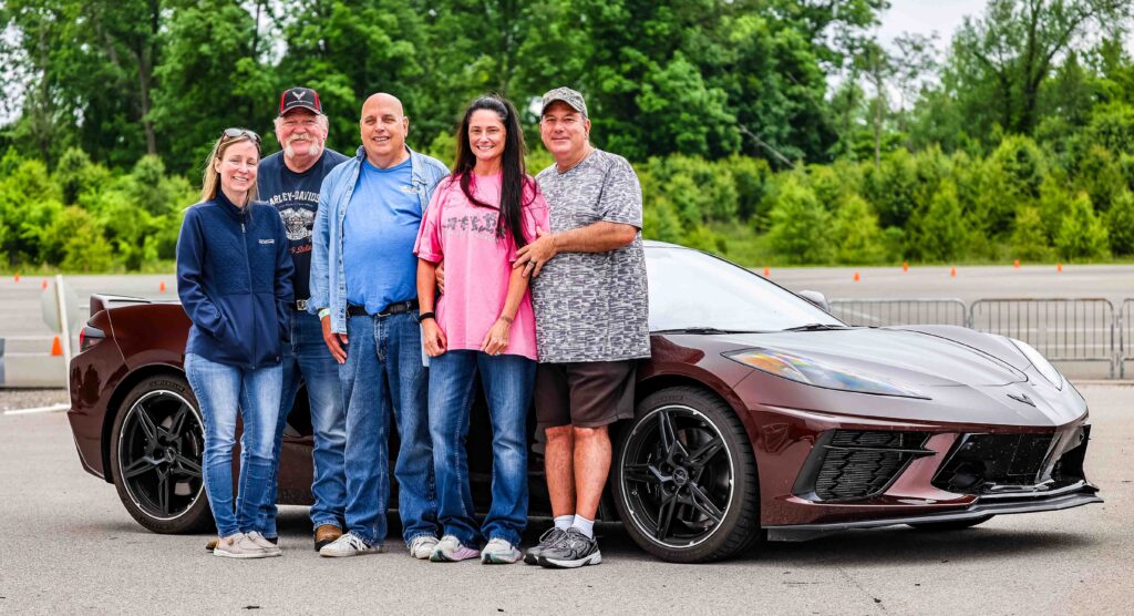
Bert has been a friend of mine for many years and after telling him about how much fun the Corvette Experience was in 2022, he came over from Oklahoma City and drove a new Vette around the track.  The next thing he did was pick out a color for his new C8.

Bert (middle) brought his caffeine colored Corvette to drive around the track.  He also brought a couple of his friends to enjoy the Corvette Experience.  Everyone had a fantastic time – Thank You Bert.

Next time I might just drive the E-Ray.  That’s a C8 Stingray with two electric drives on the front tires.  The Z51 Stingray has 495 hp and 470 lb. ft of torque to the rear wheels.  The E-Ray’s performance hybrid electric drive system gives an additional 160 hp and 125 lb. ft of torque to the front of the vehicle for impressive overall totals of 655 hp and 595 lbs of torque and the driving front wheels help to pull you through the corners.  Sounds like even more FUN. Just in case you’re interested – NCM Motorsports Park

.

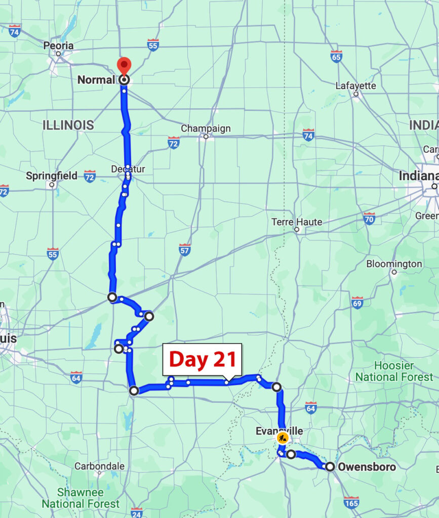
Day 21 – Normal, IL

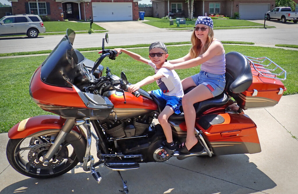
About noon on Mother’s day Heather and I went for a ride on the scooter and ended up at Moonlight Bar-b-q for their Sunday brunch.  I was told that Moonlight has the best BBQ in the state of Kentucky.  I’m not qualified to verify their claim to the crown, but it was pretty good.  When we got back, the kids got their obligatory ride around the neighborhood.  Pretty soon I’ll just be handing them the keys.

Heather and I headed to a pool hall for a couple games and a couple beers.  On the way we had a little scare when someone turned left right in front of us.  I guess she thought she had left a turn arrow or something.  Not even close to an accident but it sure coulda been.

We traded the bike for her car to do some running around then headed for Heather’s local watering hole for some dinner and “water.”  The next day was all Corvette Experience and you’ve already seen that.  What a great coupe a days with a great young lady.

In case you missed it – here is a video Heather took on the Corvette Experience.  My high tech wife pulled the strings and got it posted to YouTube for all y’all to see. ♥

I was outta Owensboro by 0700; I thought I might make it to Rockford but I ended up a couple hours and change south of there.  My Weather Radar app said no rain anywhere close.  it wasn’t raining when I left, but there was HEAVY fog.  The kind you need your windshield wipers for.  It only got worse for the next two hours.  I got smart and started heading west and after while, it quit being wet, just cloudy.  My gloves, boots and the front of my legs (the leading edges) were plenty wet.  However, by the end of the day everything was bone dry.  It’s All Good….

My GPS is set for the shortest distance instead of the fastest route which is how I end up on some of the roads I do, but it’s all part of the adventure.  Today it was trying to get me off onto the farm roads for many miles.  I was westbound with only about 10 miles to go until I got to my planneed northbound road so I decided to see where my GPS was wanted me to go.

A really rough road with deep ruts in both tire tracks made the going pretty slow and the looking around minimal.  Then – the pavement turned into a chert rock gravel road.  Chert rock breaks into flakes (think Indian arrowhead).  That’s not the best for traction but I thought the pavement would likely start back up any minute.  This is what I saw when the road started down a pretty steep hill.

As I was slowing down I was sliding on the rocks, hoping the front tire didn’t wash out from under me.  I finally got it stopped and assessed the situation.  The water crossing probably wouldn’t have been a problem (unless there was moss under the water) but the muddy hill on the other side made my decision easy.  Looking at the picture now, there’s lots of other problems that would have been deal breakers before I ever got to the mud on the other side.  If I were going to do it – I would have gotten off the bike and walked it first – can’t afford to get stuck out there in the middle of nowhere.  As hard as it was for me to admit defeat, I very carefully turned around.

Another farm road later in the day was much better.  I was a little hesitant to give my GPS its head again, but time it redeemed itself.  You’re never going to cover much ground on these roads but that’s not what this ride is about.

You better hope you don’t meet one of these guys on a farm road.  It’s hard enough to  get around them on a two lane road; cars just have to wait for them to pull over.

In the middle of Illinois gas and diesel are the same price.  Somebody’s getting rich – and it ain’t me.

It was getting towards the end of the day and I saw a sign for a Grain Elevator Museum.  So far it’s been a pretty slow news day so I thought I’d see what this thing was all about.  Here’s what I know from  Wikipedia – It was built in 1903 and used to store locally grown grain before loading onto railroad cars for shipment to cities such as Peoria, Decatur, and Terre Haute, Indiana.  There’s a whole tour of the inside but nobody was around & the doors were locked.  Not supposed to be – but they were closed.

And with that – I’m going to close today’s post.  Y’all take care – Here’s the map.

Day 22 – Prairie du Chien, WI

WHERE??? you ask – we’ll get into that later.

If yesterday was a “shoulda worn some raingear” kinda day, today was a “don’t miss anywhere with the sunscreen” kinda day.  When you see these things you know – the wind, she’ll be a blowin!!  And it is this morning, for once, it’s at my back.

Just like that Irish blessing – May the wind be always at your back.  I like that part, and the rest of it, but I’m not too sure about the first line.  May the rode rise up to meet you….  I’ve had the road rise up to meet me more than once and it was never good – Gonna take a Hard Pass on that one.

My first stop this morning is just a little south of Rockford, Illinois to see my friend and Arizona neighbor.  He is the Head Mechanic on a pipeline job.  There’s a 22 inch natural gas pipe that’s 50 years old and they are replacing it with 24 inch pipe.  I stopped in to see him on my last ride – this is what the operation looks like in full swing.

Right now most of the equipment is still in the yard but very shortly they will be out there laying pipe.  Bobby is in charge of keeping all the equipment running.  From the smallest generators to the largest excavators.  He is a busy guy for sure.

In the winter the pipeline job is shut down and Bobby goes back to AZ for a few months.  He can fix just about anything, and he and his family have helped us with a whole lotta stuff.  Thanks for showing me around the job my friend.

DJ is one of the mechanics on the job and one of Bobby’s hardest workers.

This lady is a parts runner and step-n-fetchit.  Without Mindy things would start backing up real quick.  She’s so good she’ll be stepping in to help cover for Bobby anytime he has to be away from the job.

Okay, back on the bike.  The roads in Illinois are in a word – shit; not every road, but generally.  Enough so that I was determined to get the hell outta there and see what Wisconsin has to offer.  I spent an hour or so dodging black clouds and following a river before checking my map for the fastest way north.  Wisconsin roads made my back very happy.  I wonder where all the money allocated for Illinois infrastructure goes – Hmmm….

As you likely know, Wisconsin is all about their cheese.  There’s even cheese, & lots of it, for sale in the gas station.  While I was checking out, I noticed there were cheese curds sitting on the counter.  I inquired about refrigeration and was told that they need to sit out for 3 or 4 days before being refrigerated or they won’t be squeaky – they gotta be squeaky when you eat ’em.  The smoked cheddar I bought was excellent.

I was a little surprised to see Amish here.  I saw a guy driving a wagon on the shoulder of a 55mph road and in town I saw 3 women in a horse drawn carriage.  I would have taken a picture but in respect for their desire for privacy I didn’t – or maybe it was because I couldn’t get my camera out fast enough.

If you’re gonna make cheese you gotta have milk & milk requires cows.  Cows require feed and growing feed requires fertilizer – cows can help with that.  I think the farmers in the area take full advantage of the natural fertilizer.  To them, it probably smells like money – to me it has a more fecal aroma.  The fields are well fertilized.

The last 50 miles or so was a very enjoyable ride through the hilly farmlands of southwestern Wisconsin.

There’s a whole lotta these silos around.  Looks like the main crop in this area is grain of some kind.  Nothing is growing yet here but I saw lots of wheat in Illinois.

Prairie du Chien, established in the late 17th century by French voyagers, is near the confluence of the Wisconsin and Mississippi rivers, a strategic point that connects the Great Lakes with the Mississippi.  Early French visitors to the site found it occupied by a group of Fox Indians led by a chief whose name Alim meant chien in French (‘dog’ in English).  Prairie du Chien translates to Dog’s Meadow – an homage to the Fox chief.

Until tomorrow…….  Y’all take care.

Day 23 – Brookings, SD

First thing this morning I crossed the western border of Wisconsin into Iowa.  That border just happens to be the Mighty Mississippi River.  Every time I cross the Mississippi I try to take a picture.  It was raining pretty hard for my eastbound crossing this year.

Usually there’s some ornate suspension bridge, but this is just a K-Rail sided concrete bridge.  Of course up here the river is quite a bit smaller.  Just 150 miles north in Minneapolis, MN is where the Mississippi River starts as runoff from lake waters.

One of the nicknames for the Mississippi is Big Muddy.  They surely don’t use that name up here.  The water is pretty clear.  I thought it was nice that Iowa has camp sites along the river – you don’t see that farther south where the mud is.

The roads in Iowa are what motorcyclist dreams are made of.  Smooth with plenty of turns to enjoy and mostly deserted.  What a fantastic way to start my day.  I am truly blessed.

These are all county roads and can quickly change condition at the county line.  The road deteriorated to good, then okay, but never worse than that.   Iowa is close enough to Wisconsin that they have a dairy or two around.  They also take full advantage of that same natural fertilizer.  I’ll be glad when that changes……

You know you’re in farm country when you see these improved dirt shoulders on the road.  They are for the farm equipment to use so they don’t take up more than one lane of the asphalt road.  The width of the shoulder changes depending on how much road traffic there is; this is probably the widest one I’ve seen.

If you’re wondering about life as a farmer – this kid’s video does a good and entertaining job of giving you a general understanding.


For some reason I wanted to go farther north so it wasn’t long before I was in Minnesota.  I had a couple roads in mind but when I got to the turn, the road was closed; back down into Iowa for a while.  After an hour or so the sky to the west started looking pretty rainy so I skeedaddlled to the north again.  I considered only getting a little wet a huge success.

By this time the wind had started blowing.  The weather app said the wind was 25 gust to 40!!  It doesn’t really matter where you are, riding a motorcycle in that kind of wind takes a lot of the fun out of it.  So – might as well get this over with ASAP – I-90 will do just fine.  Riding a motorcycle in a 3 club crosswind is even less fun than trying to play golf in one.

I was thinking I’d spend the night in Sioux City, but there was this little voice in the back of my brain that kept saying “Sioux City sucks.”  I don’t know what all that was about (wink), but I thought Sioux Falls, SD would be fine.  They must be holding the Spring Fertility Festival or something there – the cheapest hotel room was close to $200.  I gave up and handed my destination delimma off to my secretary (wife).  She is quite talented, and found me a place in Brookings, SD for less than half that.  A nice place with a Mexican restaurant attached – who could ask for more.  Word is, the food is good and the margaritas are better.  After a shower I went down to verify this – I am somewhat of an expert.

We are a long way from the border up here in the great white north but I have to say – the food and drink are – as advertised.  They don’t know what a Cadillac margarita is though; they call it a Texas margarita – I guess because everything is bigger and better in Texas.

I ate at the bar.  I almost always choose that option as I can supervise the preparation of my cocktail, and the refills come much quicker.

I was done with my food and enjoying my second Texas margarita (dessert) when I struck up a conversation with Don.  I don’t know where he is “from” but he spent quite a bit of time in Crescent City, CA (northern border city) and then Arizona.  He is also a fellow motorcycle rider and hunter.  We had a lot to talk about and I really enjoyed meeting him.

Everything happens for a reason…..

Day 24 – Sturgis, SD

The first thing I noticed today is that they use chemical fertilizer out here; it’s got a kinda salty odor.  I prefer that over the stuff they use in Wisconsin.  At least the chemical fertilizer doesn’t change the flavor of your chewing gum.

Another windy start this morning.  The wind blows often enough around here that they put these little reflective spinners on top of the stop signs to draw your attention.  This one was spinning pretty fast at the time.  Also, looks like a stop sign will stop a .410.

I think the wind today was actually worse than yesterday; it was more gusty for sure.  I usually try to find a really big flag to provide a visual illustration but there are no big flags out here.  You might be able to get the idea with this shot of a farmer’s frog pond.

I tried to find out why the wind blows so much and so hard in this part of the country.  Part of the answer is that it’s so damn flat.

There’s really nothing to stop or break up any wind.  Also there is something called the Pembina Escarpment that basically funnels the wind up in Canada down through the Dakotas.  The wind can’t blow like this all the time; if it did, the corn would be growing along the ground.

There’s not much to see in this part of the Dakotas.  Flat and almost exclusively farm land so – the wind made what would have been a pretty boring ride interesting.  Keeping me and my bike in my lane required some attention.  I’m not complaining though – this is what being on a motorcycle is all about.  You’re out in it – whatever “it” is.  At no time would I have traded being on the bike for riding in a vehicle.

After going through Pierre, the South Dakota landscape changes from tabletop flat to low rolling hills and some turns here and there.  This didn’t stop the wind, but added another element to the challenge – bring it on!!  This is the stuff that separates the cream from the buttermilk – or if you’re from Wisconsin, the cheese from the Cheez Whiz.

Sturgis is nowhere you wanna be the first part of August.  That’s when over 700,000 people invade this sleepy little town (and the surrounding area) for the world’s largest motorcycle rally.  I’ve been a couple times and about the only thing I enjoyed was the people I rode with to get there.  It’s wall to wall people and motorcycles and folks pay top dollar for everything.  Rooms at the Super 8 are almost $600 per night – pass.

Since it’s Saturday, there are some bikes here in town.  The three story saloons that are packed to the gills come rally week, are open on the bottom floor and have a few patrons.  I might have gone in for a beer – maybe meet some interesting people but I’ve got work to do.

I heard a little squeak (maybe rubbing) coming from the back tire area on my bike after I got here.  I need to replace the rear brakes and since I have them with me I did a parking lot brake job.  Hopefully that’ll take care of it.

I’ve crossed the Dakotas, so things should be much more fun from here on.  The plains are kinda tough no matter where you cross, Texas, Oklahoma, Kansas, Nebraska, or the Dakotas.  It’s all part of it though.  See you tomorrow……

Day 25 – Gillette, WY

Today was my Golden Ticket day.  I don’t remember ever having such a great motorcycle ride.  When someone was in my way they pulled over and let me by or they were easy to get around.  But that was rare, because almost nobody else was out there.

First stop was Deadwood, SD. In 1876, gold rush miners came into the northern Black Hills. That’s where they came across a gulch full of dead trees and a creek full of gold and Deadwood was born.  The tiny gold camp boomed into a town that played by its own rules that attracted outlaws, gamblers and gunslingers along with the gold seekers. Wild Bill Hickok was one of those men. But just a few weeks after arriving, he was shot in the back of the head at a poker table.  His hand, at the time was two pair – aces and eights have forever after been known as the Dead Man’s Hand.

Deadwood is also a 36 episode HBO series about the town and times.  Robin and I both really enjoyed it and recommend it all the time.

Now Deadwood is a tourist attraction.  They have gaming there so it’s also has a bit of a Las Vegas thing going on.  This is Main Street at 8:00 on a Sunday morning.

From Sturgis, Deadwood is less than a 20 minute ride.  Deadwood to Mt. Rushmore will take about an hour.  I know it was early Sunday morning but I still expected more traffic.  I practically had the whole road to myself.  I was a little rusty on my cornering technique so I was able to work on that and really enjoy the ride at just about whatever speed I wanted.  Not too many pictures because I was pretty busy with the bike.

A couple days ago, when it was really windy, one guy at a gas stop commented, “Well, at least it (the wind) keeps the novices off the road.”  He was right about that.  This is something that will keep not only the novices off the road, but most others as well.

There were 3 of these dirt road construction areas for a total of around 5 miles.  I was wishing that the bumps weren’t quite as big and that there weren’t quite as many low spots filled with gravel.  I took this picture from the side of the road because I pulled over for a large dump truck to go by.

I’ve been to Mt. Rushmore 3 other times and I never do go in, I just find a place on the side of the road and take a picture or have someone else that’s doing the same take one.

But this has been a great morning and I’m in a really good mood so what the heck.

The plan from Rushmore was 17 miles down the road to the Crazy Horse Memorial.  However, that road is closed so I decided to just enjoy a ride through the mountains and maybe I could find my way around to the other side and still get to Crazy Horse.

Still no markings on the road but at least there was enough room for two cars to pass.  I really had no idea where I was going, I was just enjoying the riding – still almost the only vehicle out there.  Sometimes I went fast and sometimes I went really slow, just enjoying the mountain air an the solitude.  I did see a sign indicating the way to Crazy Horse and went that way – it took about an hour but I made it.

This is what the Crazy Horse Memorial will look like when and if it is ever finished.  They are still working on it but will NOT accept any funding from South Dakota or any other entity.  Here is a link to a guy’s page where he does a good job of comparing Mt. Rushmore & the Crazy Horse Memorial.

There’s one more big thing in the area.  Devil’s Tower, which was featured heavily in Steven Spielberg’s 1977 Close Encounters of the Third Kind. On my way to Devil’s Tower I decided to go east, out of the Black Hills, for a little while.  And unbelievably I still had the road virtually to myself.  These wide sweeping turns are the best.  And – No WIND!!

Once back into the Black Hills the Spearfish Canyon Scenic Byway follows Spearfish Creek 22 miles down the mountain.  There a couple good waterfalls along the way and Bridal Veil Falls is right next to the road.  If you look closely (or click the picture for full size) you can see people at the bottom so you get an idea of scale.

There was some traffic in town riding through Spearfish but I almost didn’t even notice it.  The loop around to Devil’s Tower is a road that was packed when I’ve been here for the rally.  But back then (24 years ago) the roads were black asphalt and quite narrow.  It’s not like that now.

I’m sure it’s still a nightmare but it’s a much better road these days. I won’t continue to bore you with how great my day was – but just look…..  And, by the way, my motorcycle cornering technique is back on point.

I made it to Devil’s Tower.  It’s worth going down the road and seeing it up close – once.  It’s not something I could do justice with a camera so you’ll just have to take my word for it – and see it for yourself.  I did get you a better picture and if you’re interested in more Devil’s Tower information this link will take you to the National Park Service page that will answer most, if not all, of your questions.
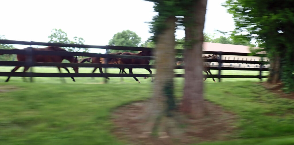
At this point I’m pretty close to Gillette, WY and have already had a very full and blessed day.  I just hopped on the slab for the last few miles.  While I was riding I was scrubbing my brain, trying to come up with appropriate adjectives, verbs, and adverbs to describe what a great day it has been.  I don’t think I’ve done a very good job of that, but hopefully you’ve had a similar day, even if it wasn’t on a motorcycle, and you can relate.  The only thing that could have made it any better would have been having one of my one of my motorcycle buddies alongside or having my wife on the back – or BOTH….


Day 26 – Bozeman, MT

My initial plan was to take a round-about route to Cody, Wyoming today then tomorrow, I’d ride up through Yellowstone and the Grand Tetons then down into Blackfoot, Idaho.  However, rain is in the forecast for Cody and possible snow in Yellowstone.  That, and a couple other things put me on a different path.  So, I’m going up to Bozeman, MT today – then down to Blackfoot tomorrow which will almost eliminate the forecast rain.  Also – I don’t have to follow all the folks around Yellowstone where the speed limit is 45 and everyone goes 35.  And if there’s a buffalo, and there’s always a buffalo, the lookie-loo’s bring everything to a grinding halt.

I’m slabbing it the whole way today – close to miserable cold isn’t something I want to be out in for any longer than I have to be.  If you go slower, you’re not quite as cold but usually just getting it over with is the objective.  I’ve never been on this stretch of concrete.  It’s rolling hills with a few turns and good views, but you’re still just watching it go by instead of being part of it – today, I’m good with that.

It was cold enough this morning that I had on all my cold weather gear.  I was pleasantly surprised that it was almost enough.  It did warm up a little about the time I left Wyoming and got into Montana, where some sun was finally finding its way through the clouds.  When I stopped for gas, I decided to remove a layer of clothing and noticed another rider doing the same thing.  We talked about where we were going and where we had been and discovered that we have been on almost the same route.  I asked him how he liked crossing the great plains and we shared a couple stories about our crosswind experiences.  We decided to ride the 140 miles to Bozeman together.  Meet Colt:

Colt is 32 and riding from Arkansas to Washington, staying in WA for two days then going back – tent camping the whole way.  That’s youth for ya – must be a girl involved.  Before we got too far down the road, we had to haul out the rain gear.  We experienced the winter trifecta – rain, hail and snow; but not very much of any of it.  Hail hitting you in the face at 85 will get your attention!!  Maybe I should invest in a full face helmet…..

It was fun riding with someone; Colt is a good rider and I think I’ll add him to the short list of guys I’ll ride with.  He could have probably even kept up yesterday.  I pulled off at my Super 8 exit, we filled our gas tanks, and parted ways – Safe Journey Colt…..

Day 27 – Blackfoot, ID

I knew it was going to be cold this morning and I took appropriate measures, sadly, they were inadequate.  You would think that after almost 50 years riding a motorcycle I would have this down a little better – but I seldom ride when it’s much below 70°.  This morning it was in the low 40’s when I left and for the first three hours – only got colder.  No frostbite though – so it’s all good now.

About 20 minutes after I took this picture it began spitting snow.  Not enough to cover anything but just occasional white flakes falling.  Kinda cool but kinda cold as well.

My route today took me through the northwest corner of Yellowstone.  It’s not an entrance to “the park” or anything, just a small roadside sign letting you know.  Really beautiful….

As I got out of Yellowstone the sun started to poke through, and the snow stopped.  It’s really amazing up here, and I was warming up a little.

These are the Centennial Mountains.  They are the southernmost sub-range of the Bitterroot Mountains and are one of only a few ranges within the Rocky Mountains that trend west to east.  Their ridge line is the border between Montana and Idaho in this area.  It’s a straight line of mountains next to a meadow – far as you can see.

Idaho is all about the mountains – In fact there are 36 Major Mountain Ranges.  You can click on that illustration for more info.

Today’s ride was one of those that you’re glad you went on, but at the same time, probably would not do again.  Being in the north and northwest this time of year is always a crapshoot.  It could be rain, hail, snow, or a beautiful sunny day.  But hey, I was in the area so I decided to head over.  I have extended family here in Blackfoot and I haven’t seen them in a while so it’s time.

Day 28 & 29 – Boise, ID & Elko, NV

Meet my Idaho extended family – Team Hansen.  Thank you all so much for everything.

While I was in Blackfoot I went with Shad (left) and his brother to the driving range.  I’m no golf pro but they are both just beginners, so I was able to help them a little.  Later that evening, Audrey (right) was in a barrel race competition.  She got bucked off on her first run but completed the course second time out.  Precious time spent with precious family.

Leaving Blackfoot was just cold – I didn’t leave until after 10:00 and it was in the low 40’s as I recall.  I’m ready to be DONE with this cold weather.  We’ve been to the Craters of the Moon before and I thought I’d stop by and add it to the blog.  They are closed for 4 days.  It looks pretty much like this, but it also has lava tubes/caves that are very interesting.

In Boise I met up with my son and we went to dinner, Mexican and margaritas – Yum yum.  We both enjoyed the visit and Justin is trying to figure out when he can come down to AZ.

By the way, Boise is a french word meaning wooded, and the correct (french) pronunciation is Boy-zee.  However like many french town names the locals have their own pronunciation, and they say Boy-see.  It’s a fine line but I noticed in the Hansen household there is a bit of an emphasis and you notice for sure that it’s an S not a Z.
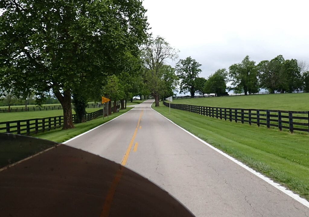
I’ve been on many of the roads through (not throughout) Nevada, but this is a new one.  There is no border town littered with casinos because when you cross the Idaho/Nevada border – you’re on the REZ, the Duck Valley Reservation (Shoshone and Paiutes) to be exact.  That road takes you over the top of the Jarbidge Mountains.  There is a large stream that runs along the road and for miles you would swear that it’s flowing uphill – I’ve seen the phenomenon before but never over such an extended distance.  This is not an illustration of the uphill illusion, you have to be driving the road to experience that.

This is where the stream originates.  The spillway is part of the Wild Horse Dam.  Built in 1969 as part of the Bureau of Indian Affairs Duck Valley Irrigation Project.  That’s a 90 foot waterfall.

These next two pictures are Wild Horse Reservoir with the Jarbidge Mountains in the background.  There are campgrounds with full hookups very near – Not a bad way to spend your Memorial Day weekend……

There were people fishing and I saw one guy on the shore that sure looked like he was reeling one in; trout would be my guess at over 6,000 ft.

As I was riding down into Elko I noticed that there was something on the road.  There was enough of them that the road was actually turning red where they were the thickest.  These things are Mormon Crickets and this is their time.  There were two large signs warning: Caution – Slick Road Due to Crickets.  NOT the place to practice your cornering technique.  And there’s an odor – It’s like… you know; after you eat asparagus??  Uh – – – yea

I’m sure that one of the reasons they are all over the road is that crickets (and grasshoppers) find their smushed brethren quite tasty.  The best description I heard is that the invasion of crickets is “biblical”.  I took a short video right after I took that picture.

Now imagine them covering your house – that’s what the folks in Elko have to deal with when they show up in town.  Okay – in this post we’ve been from cold, to beautiful to disgusting.  My work here is done.  Except for the map.

Day 30 – Ely, NV

I couldn’t believe that it was raining this morning.  I checked my radar and it looked like it would go through well before I left; which it did.  Wouldn’t you know, just as I was pulling out, light rain began to fall.  However, I wasn’t getting soaked because I was all bundled up for the cold.  After 40 or so miles, I was sure happy to see blue skies in my future.

Remember my neighbor, the Master Mechanic in Illinois?  Well, his son is working on a road construction job in Nevada.  Today he’s in Lovelock, and I thought I’d stop by and say hey.  He wanted to show me his ’85 Chevy he’s been working on.  Looking Good!!

Lovelock was named after one of its earliest entrepreneurs, George Lovelock.  When I was riding out of town I noticed several of these – Love Locks.

I believe this whole padlock thing is inspired by an ancient (Chinese?) custom  Lovers lock a padlock on the hearts and then throw away the key, symbolically locking their love forever.  I did notice that some of the padlocks are combination locks….. Hmmm

Next stop Ely, Nevada.  Here we go again with the pronunciation thing.  Ely is pronounced EE-lee; named after John Ely, a mining promoter.  ANYWAY – the road is the draw here.  In 1986, Life magazine dubbed Nevada’s Highway 50 the “Loneliest Road in America.” The article claimed there were “no points of interest” along the route and “warned” readers not to risk traveling it unless they were confident of their “survival skills.”  Challenge Accepted!!
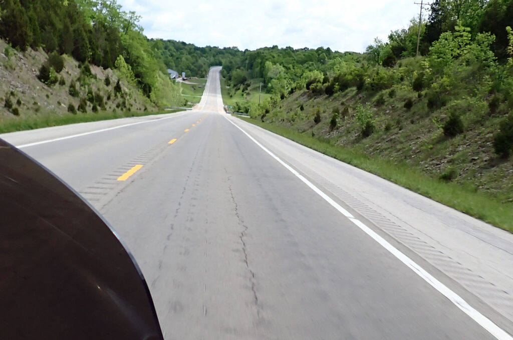
I stopped for fuel in Fallon even though I’d only used 2 gallons since leaving Lovelock.  Nothing like running out of gas to make you keep that tank full.  It was getting warm enough that I needed to ditch the jacket – I was really enjoying finally being able to ride in just a t-shirt.
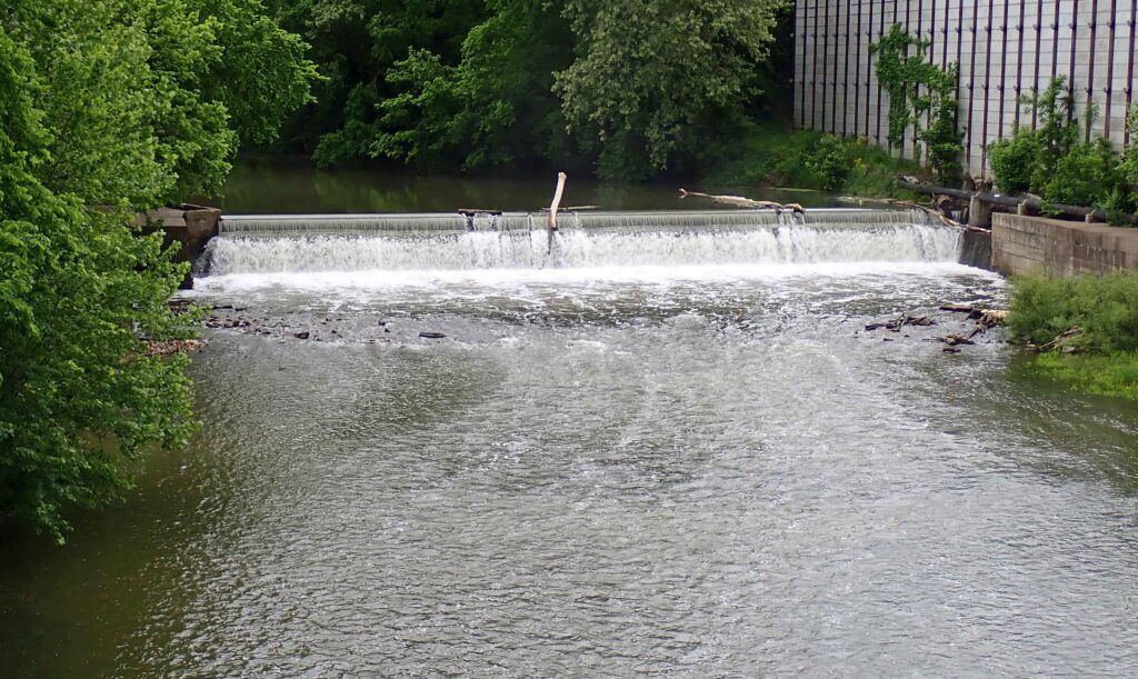
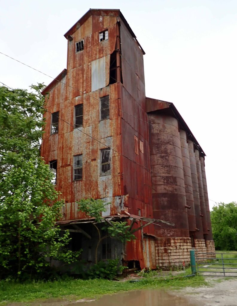
To start with, Highway 50 is pretty straight and flat.

This is Sand Mountain just outside Fallon, Nevada.  From the looks of all the people camping there (might have to zoom in to see) it’s a popular place.
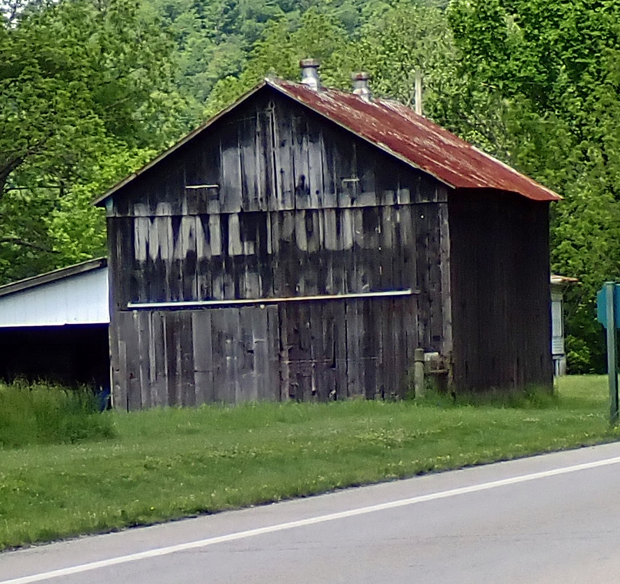
The flat road soon turns into some sweeping turns and a 3,000 climb to SEVEN thousand feet.  When I got to Austin I stopped for fuel and to put my jacket back on.  I needed the jacket but if I’d added my chaps as well, I would not have been disappointed.  This pic is from the pass just above Austin – the little town is what you see just below.

This road goes over 4 mountain passes that are over 7,000 ft.  After the mountains there is a flat & straight stretch before you get to the next one.  NOT a boring ride at all.  It is an excellent time for some solitude if that’s what you’re after – but I wouldn’t call it lonely.

Really, there’s lots to see if you just look around.  I wonder when this house was built and by whom.  I’d like to know what their story was – why here, why did they leave, etc.

There are wild horses out here.  This one casually crossed the road in front of me.  I came to a quick stop to see if I could get a picture and he/she turned to pose – perfect.

Highway 50 goes on past Ely and I’m turning south, but this 260 miles is a road that I’ll be coming back to.  A really good motorcycle road with high speed straightaways and challenging mountain turns; and as a bonus – you’re going to see very little traffic.

Ely is a copper mining town, as indicated by these tailings 5 miles outside of town.

On my way into town I saw this steam locomotive as it was about to enter a tunnel.  No chance to take that picture but I did get this one after it came out.  It was a real treat for both myself and one of my spirit riders who was a huge train fan.  Icing on the cake for today’s ride.

Day 31 – St. George, UT

Leaving Ely (EE-lee remember) this morning, two deer, very casually, crossed the road right in front of me.  They were gone before I could get a picture, but I wondered what this meant.  I mean, it’s gotta be a sign – right?  Since my Indian sprit guide isn’t available, I took it to mean, slow down and you’ll enjoy it more.  So, that’s what I did.

I was virtually alone on the road so I could ride as fast or as slow as I wanted.  I tried the old double nickel but it felt like I could count the pebbles on the asphalt at that speed.  I settled in at 63.  Fast enough to get there without falling asleep but slow enough that I didn’t have to maintain sharp focus on the road at all times.  And it was more enjoyable.

Crossing over my last mountain pass on Hwy 50.  There’s more this is just my last one.

This picture was taken just before I turned south and will give you an idea of what Hwy 50 does.  Down into and across the basin then back up over the next mountain range.  A fun road with all the right stuff.

I saw a pronghorn doe with two little babies probably still not weaned.  When I slowed down to take their picture the mama took off like her ass was on fire, and the babies were close behind.  Oh well – they call them speed goats for a reason.

As I get closer to home, I’m going where it’s warmer.  When I saw this snow on the north side of these peaks I figured it would be the last time I saw snow for awhile.  I’m good with that…

This hill should be called Swiss cheese hill.  For every one of those piles of dirt you see there is a mine.  Doesn’t look like anyone found much of what they were looking for but they have been relentless in their attempts.  I’ve never seen so many, so close together.

With all the mountains around when things flatten out enough to farm, that’s what folks that live in these basins do.  No idea what’s being grown here.

Getting closer to St. George I figured things would be getting less interesting – Not the case.  It’s just a corner but this part of the Dixie National Forest has new asphalt and some very fun corners.  My earlier deal with the deer was cast away and speed was dictated by what the corners would allow.  That was a good time!!

This is where you start going down into St. George and where it really starts warming up.  The scenery is area is really unique and this is the first taste.  At 2:00 the temp in St. George was 87° – so much for being cold.

No way I could stop in St. George and not touch base with these folks.  Great people from my time at Sunset Hills CC.  We enjoyed visiting over dinner and I learned a new golf term.  Thanks for dinner and our friendship.  Until next time…….

Since I post these updates the day after the ride (mostly) y’all will be getting this on Memorial Day.  Take a moment……

Day 32 – Half Vast Ranch, AZ

I got out early this morning and stopped for gas across the street from the hotel.  I met a few of these guys gassing up and waiting for other members to show up for their ride.  I thought I took their picture – but the camera wasn’t working or maybe it was me.  Anyway – it looks like a fun group, and I enjoyed meeting some of the members.  Sorry Guys……

I thought I could go through the southern corner of Zion without having to pay for entry.  I was wrong – and right.  I didn’t have to pay, but only because on Veterans Day 2020 and every day thereafter, Veterans and Gold Star families get free entry into all National Parks.  SO – I went through Zion National Park, for free.

I’ve been through Zion before and if you’re thinking about going I have some advice for you.  Much of the awe and grander of Zion is above your head.  So if you have a convertible – take that, and let your friend drive so you can look around.  You need to be able to look up.  If that scenario doesn’t work for you – find a way to be able to see what’s right above you – find a way or you will be missing a lot.  I took this picture while waiting our turn in line at the tunnel – but it doesn’t do the rock wall above any justice.

Just outside of Zion there is a buffalo ranch.  I stopped and got a couple pictures for ya.  Something I noticed, no flies – there’s always flies with cattle.

All I could think of was, “Oh give me a home where the buffalo roam, Where the deer and the antelope play…..”  It took me the rest of the day to get that song outta my head.  The picture of the cow & calf is for my wife and our granddaughters.  “Oh, He’s So Cute.”

Crossing the border into Arizona there is a small town called Fredonia.  At the gas station there I met another couple riders.  They are brothers and have been riding some of the same areas I have; in fact they were snowed out of Yellowstone Park the same day I was.  This time around the camera (operator) worked.

Hey guys – If you’re reading this, and have time, check out Sedona while you’re in the Flagstaff area.  Safe Journey & enjoy your time in the Grand Canyon State.

I didn’t want to spend any time on the slab on my last day, so when I left Flagstaff, instead of taking I-40 I opted for the more scenic (and filled with holiday traffic) route.  I went through Oak Creek Canyon and Sedona and over Mingus Mountain.  It was a very good end to my 2024 Freedom Ride.  10,543 miles – 27 States – 54 days – 32 days riding.